Download
1 / 9
90 likes | 212 Views
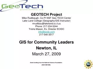
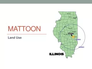
ECIDC Meeting Mattoon, IL GIS Community Interns Program. Mike Rudibaugh Geography/GIS Instructor Lake Land College mrudibau@lakeland.cc.il.us 217-234-5244 Ron Sanderson Special Projects Coordinator Lake Land College . ECIDC – Lake Land College Community Interns Program. Purpose

E N D
ECIDC MeetingMattoon, IL GIS Community Interns Program Mike Rudibaugh Geography/GIS Instructor Lake Land College mrudibau@lakeland.cc.il.us 217-234-5244 Ron Sanderson Special Projects Coordinator Lake Land College
ECIDC – Lake Land College Community Interns Program • Purpose • Pilot study to explore how geospatial technology technicians are used in rural economies in both private and public sector settings • 187 hours Per Student (mentoring) • Applications • Industries – Sectors • ROI • Cost to Employer for Pilot Study • No cost (Funding for 5-7 Students) • Timeframe • Summer 2011 • Feedback • Reporting • Interviews • Forms
Demonstrating the Power of Geospatial Technology on both Public and Private Sector Employers • Geospatial Revolution Project • Videos demonstrating industry specific impacts on how current employers are using geospatial technology in city government, trucking, healthcare, national defense, and public safety.
Empowering Colleges: Expanding the Geospatial Workforce • Clearinghouse of Geospatial Resources • Provide national voice for two year colleges • Develop Competency Model for GIS Technicians • Provide faculty development and training • Build partnerships with colleges and industry GeoTech Center Partners To learn more or become a partner, contact: Dr. Phillip Davis, Director pdavis@delmar.edu www.geotechcenter.org
What is STEM Education • “Faster aircraft, bolder video games, better medicines – technology moves forward each day. Tech-savvy workers are making these advances happen. Without the work of scientist, technicians, engineers, mathematicians, and other skilled workers, most new products and discoveries would never be developed” (Terrell 2007).
Geospatial Labor Market Projections – U.S. Department of Labor
What does GIS mean to both local and national economic/workforce development? • What is the value and power of information in the “new economy” based on data, information, and rapid response capacities for organizations to maintain a competitive edge in the global marketplace? • Private – Global Competition • Public – Doing more with less • Increasing demands on public workforce to automate records through digitization of paper records • Increasing demands for accountability and reporting to public
Questions? How do you a get a GIS Intern? • Express interest with Ron Sanderson or Mike Rudibaugh through e-mail or phone. • We will then forward you some student resumes for review in matching students with employer. • Mike Rudibaugh • 234-5244 • mrudibau@lakeland.cc.il.us • Ron Sanderson • 234-5558 • rsanders@lakeland.cc.il.us