Download
1 / 19
190 likes | 281 Views
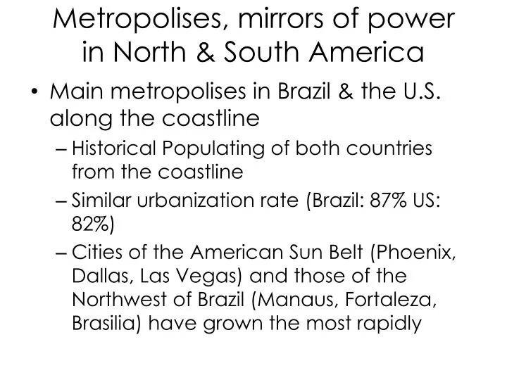
Metropolises , mirrors of power in North & South America. Main metropolises in Brazil & the U.S. along the coastline Historical Populating of both countries from the coastline Similar urbanization rate (Brazil: 87% US: 82%)

E N D
Metropolises, mirrors of powerin North & South America • Main metropolises in Brazil & the U.S. along the coastline • Historical Populating of both countries from the coastline • Similar urbanization rate (Brazil: 87% US: 82%) • Cities of the American Sun Belt (Phoenix, Dallas, Las Vegas) and those of the Northwest of Brazil (Manaus, Fortaleza, Brasilia) have grown the most rapidly
Cities at the Heart of Power • Concentration of political functions (Brasilia, Washington) • Financial functions (stock markets of New York, Chicago & Sao Paulo) • Research Poles • Silicon Valley & San Francisco • Amazon Basin (earth sciences, biodiversity) & Minas Gerais • Manufacturing • Tourism (Miami and Rio de Janeiro tourist spots attracting global population)
Metropolization: merging American & Brazilian urban models • Brazilian cities increasingly resemble American metropolis models • Organized around a Central Business District • Concentrates the functions of power • Phenomenon of urban sprawl • Video Ted Talks: Eduardo Paes - Mayor of Rio de Janeiro - The Future of Cities, March 2012, 12”21
Sao Paulo • Population: 20 million • Rapid urbanisation causes overcrowding • 2,000 migrants arrive per week! • High birth rate and lowering death rate (stg. 3) • Internal rural to urban migration mainly from the poor NE region of Brazil. • Pull factors of Sao Paulo • 50% of industry is clustered in & around Sao Paulo • Manufacturing (vehicles, machinery, textiles & shoes) • Also iron ore is found around Sao Paulo Booming construction industry • Many businesses including coffee exports • Improved roads & rail communication have encouraged migration After a century of rapid growth of the urban agglomeration, demographic growth is now a mere 1,5% yearly. The central core is effectively losing population (in yellow), whereas the new population goes mainly into the outer periphery (positive growth rates in purple).
Impacts of Urbanization on People & the environment • creation of large ‘Shanty Towns’ or ‘Favelas’
Characteristics of Squatter Cities • Housing materials are collected from available resources, e.g. corrugated tin • Little sanitation • No running water • No cooking facilities • Illegal hookup to electricity, if any • No political voice • Lack of social services
Spatial Distribution of Squatter cities • On the periphery of the cities in LDCs around the world. • In Europe and Latin America the rich choose to live in the culturally-rich inner city, the opposite is sometimes true in North American cities
Squatter Cities • Video: Ted Talks: Stewart Brand on Squatter Cities 3” • Is Brand’s message an overall positive or negative one about Squatter cities?
1. Concentric Zone Model Argues that urban land use is best represented by a series of concentric circles. • Recognizes five distinct zones: — The central business district/nonresidential — Zone in transition/poorest quality housing/ immigrants/apartments — Zone of workingmen’s homes/second-generation immigrant settlement — Zone of “better residences”/middle class — Commuters’ zone/high-class residential
2. Sector Model • This model assumes the land use is conditioned by transportation routes radiating outward from a city center. • Industrial, retailing, and residential districts extend out from the CBD like wedges. • the best housing districts are related to natural landscape, e.g. north from Chicago along Lake Michigan.
3. Multiple Nuclei Model This model assumes that urban areas have more than one focal point influencing land use. • Land-use patterns are formed around several discrete nuclei that attract certain uses and repel others. These nuclei most often develop in response to the evolving transportation network. They form, for example, around major highway intersections and surrounding airports. • These multiple nuclei may have arisen in one of two ways: — They were once separate settlements but were absorbed by growth of the urban area. — They appeared as urban growth stimulated specialization and specialized centers outside the CBD, around which complementary uses then located. • Residential land use develops in response to the influence of the various nuclei.
Activity: Comparing North American urban models with those of Latin America Appendix A & Appendix B Human geography / Urban Geography Slides 16-20
Modeling the Modern Latin American City • Law of the Indies 1573 • Latin American cities designed after Portuguese & Spanish explorers • Centered around a church & central plaza
Similarities and differences between the Latin American model and the concentric zone model • Concentric zones of housing of different quality exist, radiating from the city center. • The housing in the zones, however, is reversed from that which exists in North America. The highest-quality homes are in the innermost rings and the poorest quality are in the outermost. • The market is centrally located, as opposed to North American cities where retailing is becoming increasingly suburbanized.
Similarities and differences between the Latin American model and the sector model • In both models spines of land use radiate from the city center. • The “Grand Boulevard” of elite shops is in the Latin American model only. • North American–style suburbanization may occur - associated with the spine of development. • An industrial spine may develop along a transportation route such as a railroad or highway in both models.
Similarities and differences between the Latin American model and the multiple nuclei model • Both may contain government housing projects. • Both may contain industrial parks. • Disamenity zones exist in association with less-desirable land only in the Latin American model.
2 most important changes in North American city models • Inner cities that were once reserved for business and a ring of the poorest-quality housing are being “revived.” • Suburbs have begun to take on the roles more typically associated with the CBDs