Download
1 / 19
190 likes | 293 Views
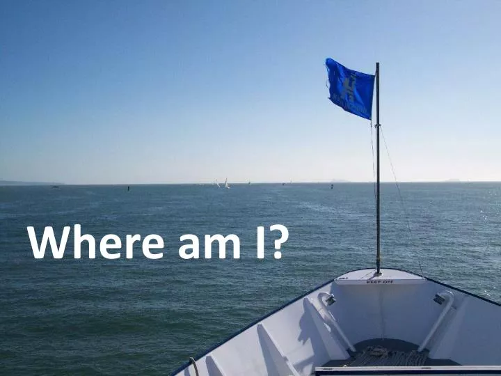
Where am I?. The Prime Meridian is a real, physical feature marked out in Greenwich, England. Nautical Charts give: Depth information location of submerged hazards geographic features latitude and longitude. Lambert Cylinder Equal Area Projection . Harbor Buoys:. Entering – Green on left

E N D
The Prime Meridian is a real, physical feature marked out in Greenwich, England.
Nautical Charts give: • Depth information • location of submerged hazards • geographic features • latitude and longitude Lambert Cylinder Equal Area Projection
Harbor Buoys: Entering – Green on left Red on right Exiting – Red on left Green on right
Why are Pirates usually depicted wearing an eye-patch?
Perhaps finding your latitude at sea, on a moving ship with a Cross-Staff can help explain.
Astrolabe – used for finding latitude by sighting on North Star. It is used to measure the angle of the North Star above the horizon. The angle is the same as the latitude.
Sextant – used for finding latitude by sighting stars, sun; triangulating on land marks, etc.
The North Celestial Pole (marked by the star Polaris) As Polaris is almost directly over the North Pole, all the other stars appear to circle around it during the Night, indicating “North”.
Where am I? My sextant tells me the sun is above the horizon at noon at 45°, or using the North Star, 45°. My latitude is 45° N, somewhere along this line….
How far east or west? • You need two • Chronometers • (sea clocks) • one set to • local time • -The other set to • Greenwich Mean Time.
8 pm Local Time 11 pm - GMT There is a 15° difference between each hour. Three hours difference equals 45° of longitude. Since Greenwich is 3 hours ahead, we are 45° West.
Where am I? Latitude is 45° N. Longitude is 45 ° W. It would be recorded as: 45° North: 45 ° West
Navigating from • Nautical Charts - • You will need a • “Compass Rose” to determine angle bearings • And a set of “navigational triangles” to plot angle bearings
Parallel Rulers- Also used to transfer angles on charts