Download
1 / 16
180 likes | 469 Views
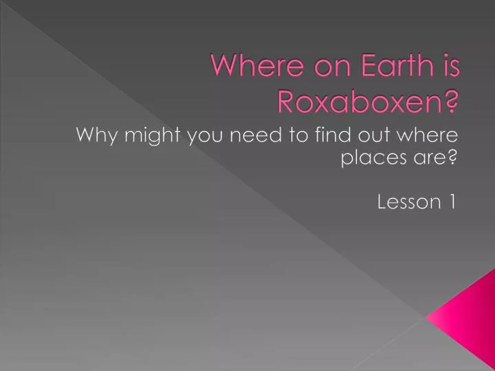
Where on Earth is Roxaboxen ?. Why might you need to find out where places are? Lesson 1. Location. A location is where something is found. . Map. A map is a picture that shows the location of something. . Yuma.

E N D
Where on Earth is Roxaboxen? Why might you need to find out where places are? Lesson 1
Location • A location is where something is found.
Map • A map is a picture that shows the location of something.
Yuma • Yuma is a city in Arizona, which is a state in the United States of America. • Arizona is close to California, Nevada, Utah, Colorado, and New Mexico.
Continent • A continent is one of the seven main land areas on the Earth. • The seven continents are: North America, South America, Europe, Asia, Africa, Australia, and Antarctica. • The United States, Canada, and Mexico are the countries that make up the biggest part of North America.
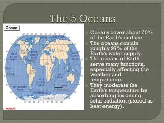
Ocean • An ocean is a large body of salt water. • The largest oceans are: the Pacific Ocean, Atlantic Ocean, Indian Ocean, and Arctic Ocean. • 75% of the Earth’s surface is covered in water.
Globe Map A globe is a better model of the Earth because it is round.
Globe • Maps do not always show the true shape of the planet or the continents because maps are flat, and the Earth is round. • A globe is a better model of the Earth because it is round.
Hemisphere • Hemisphere means “half of the Earth” (hemi means “half” and sphere means “ball” or “globe”) • If you cut a globe in half from the North Pole to the South Pole, you get the Western Hemisphere to the west and the Eastern Hemisphere to the east.
Equator • The equator is an imaginary line that is halfway between the North Pole and the South Pole. • If you cut a globe in half at the equator, you get the Northern Hemisphere to the north and the Southern Hemisphere to the south.
North America • North America (the continent in which we live) is in the Northern Hemisphere (north of the equator) and the Western Hemisphere. • Every place on the Earth is in two hemispheres at the same time.
Title • The title of a map tells you what the map is about. • The title is usually at the top of a map.
Symbols • Symbols stand for things that are real on the Earth. • Some symbols do not look exactly like what they stand for.
Map Key • A map key tells what the symbols on the map stand for.
Distance Scale • A distance scale measures the distance, or how far it is, between two places on a map.
Compass Rose • A compass rose tells you directions, or which way you need to go to get someplace. • The four cardinal directions are north (N), south (S), east (E), and west (W)