Download
1 / 18
290 likes | 402 Views
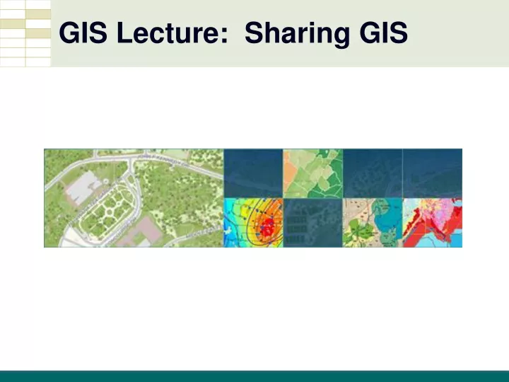
GIS Lecture: Sharing GIS. Sharing. Layer Files. Store: - path to a source dataset - other layer properties, including symbology - just a linkeference to actual data W ay of saving your classification and symbolization choices as a stand-alone file that can be used on other maps

E N D
Layer Files • Store: - path to a source dataset - other layer properties, including symbology - just a link\reference to actual data • Way of saving your classification and symbolization choices as a stand-alone file that can be used on other maps • Works for Group layers too • Add Data button just like adding a layer
Layer Packages • Layer Package (.lpk) • Full contents of a single layer • Includes layer's data • Symbology and other properties • May also apply to group layer • In one easily shareable package!
Map Packages • Map Package (.mpk) • Full contents of map document • Map properties • Data frames • All layers and data • In one convenient, portable file!
Opening a Map Package • Just double-click in File Explorer to openthe Map Package in a new .mxd
Review… • Layer File - holds path, symbology and layer settings • - but no data • Layer Package - holds the layer settings - plus the data • Map Package • - holds the entire MXD/map information, • - multiple layers, and the data
Other Packages • Geoprocessing Package (.gpk) - created from results in the Results window - contains all data and tools used to create the result - can add additional files to the package, such as text documents, slide shows, and compressed ZIP files • Locator Package (.gcpk) - contains an address locator or a composite locator along with its participating locators • Tile Package (.tpk) - contains a tile cache of data that you can display as a basemap with ArcGIS Runtime applications
ArcGIS Online • http://www.arcgis.com
Sharing Online • Your own content - data layers - web maps- web apps • Content inside your organization - Groups • Public content - anything shared “Public” - Living Atlas
ArcGIS Online from ArcMap • - Requires sign-in • - your data or Search others’ data online
Story Maps! • http://storymaps.esri.com