Download
1 / 27
280 likes | 487 Views
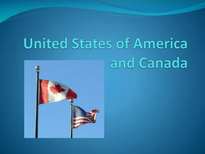
United States of America and Canada. Human Environment and Interaction. St Lawrence Seaway - North America’s most important deep water ship route; joint project between USA and Canada.

E N D
Human Environment and Interaction • St Lawrence Seaway - North America’s most important deep water ship route; joint project between USA and Canada. • A system of locks, canals, and channels that allow large ship to travel from central North America, through the Great Lakes, and out to the Atlantic Ocean.
Human Environment and Interaction The diagram below shows the sequence ships would travel from west to east. Notice the depth of the lakes, and the elevation change from Lake Erie to Montreal. Without the locks boats would not have been able to travel over this area because of waterfalls. http://www.youtube.com/watch?v=XLTfO6E1b40
Railroads • Trains were instrumental in settling the western part of the United States of America. • To encourage development of rail lines westward, the government offered railroad companies massive land grants and bonds. Railroads received millions of acres of public lands and sold that land to generate money for the construction of the railroads. The federal government gave 134 million acres of land as incentives to the railroads.
Human Environment and Interaction • Hoover Dam
Human Environment and Interaction • Hoover Dam • Why was it built • To help control flooding • To provide water for irrigation • To produce hydroelectric power
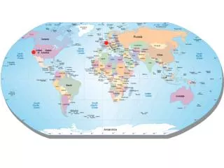
Population and Migration Beringia-Land bridge that once connected Siberia and Alaska
Population and Migration • Columbian Exchange - The exchange of plants, animals, disease, and people (slaves) between the old and new worlds.
Population and Migration • Melting Pot (USA) vsMosaic (Canada) • Melting pot is much closer to assimilation • Mosaic is much closer to multiculturalism • Plano, TX –no “towns” • Los Angeles- Chinatown, Korea town, Little Italy,
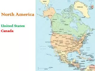
Population Geography of Canada • About 90% of Canada’s population lives within 100 miles of the US-Canadian border. • One-third of Canada’s population lives in Toronto, Montreal, and Vancouver.
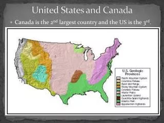
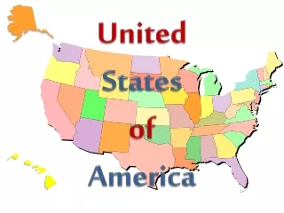
Population Geography of USA East Coast-first settled, then West Coast, Middle America.
Culture/Government • Canada is a constitutional monarchyand a federal state with a democratic parliament. • USA-Constitution-based federal republic; strong democratic tradition
Culture-People • Metis- People of French and Native heritage. • Immigrant-someone who comes to a new country. (Push or Pull) Railways (Pull) • Refugee- someone forced to flee their country due to war, persecution or violence. (Push)
Culture Religion • Canada- Catholics 44% Protestants 30% • USA- Protestants – 60% Catholics – 26%
Culture Language • Canada - 2 official languages • French and English USA - O official languages. The federal government has never mandated an official language English spoken by 80% of America Spanish spoken by 30% of America
Regions Maritime or Atlantic Provinces #5 • Easternmost provinces • Cod fishing • The Grand Banks
Regions Core #4 • Home to ⅔ of the population • Settled along Great Lakes and St. Lawrence River • Divided between British and French origins
Regions Western Provinces #2 • Borders Pacific Ocean • Centered on Vancouver • Home to the second largest Chinatown in North America
Regions • Northern Frontier #1 • Nickel, copper, and uranium mines • Home to forestry, pulp manufacture, and hydroelectricity industries
Regions Pacific West • Population boom during 1840s Gold Rush • Home to mining, ranching, high tech, and entertainment industries • Rapidly increasing urban population due to high birth rate and immigration
Regions Northeast • Longest history of European settlement, • Gateway to immigrants • Urban areas are major economic centers • Diverse population, usually votes Democrat
Regions Midwest • Once the “Western Frontier” • Breadbasket of the US • Manufacturing blue-collar hub • Declining urban population
Regions South • Formerly based on slavery and cash crops • Moving from primary to secondary and tertiary sectors • Large African-American population • Strongly Christian, usually votes Republican
Regions Great Plains • Staging point of war between Native Americans and American settlers • Cities founded as railroad hubs for cattle • Home to farming and cattle industries • Many small towns with fewer cities
Regions Alaska and Hawaii • Acquired by the US in late 19th century • Home to tourism, fishing, oil, mining, and forestry industries • Large Native American and Asian populations