Download
1 / 23
230 likes | 331 Views
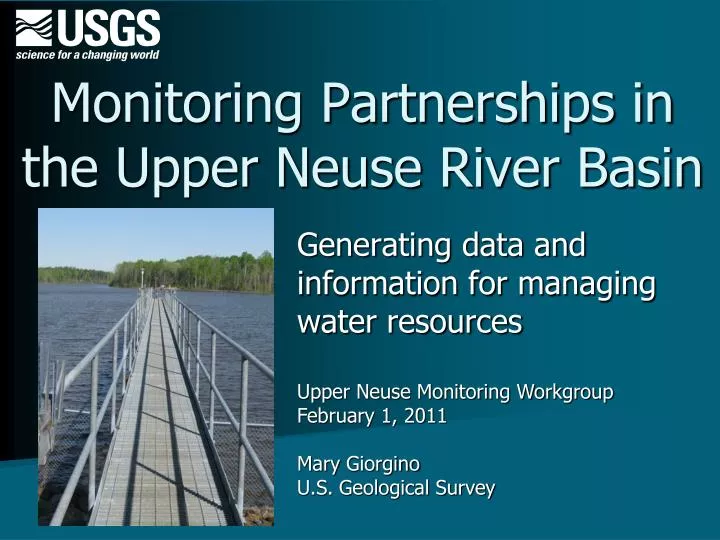
Monitoring Partnerships in the Upper Neuse River Basin. Generating data and information for managing water resources. Upper Neuse Monitoring Workgroup February 1, 2011 Mary Giorgino U.S. Geological Survey. Science agency for DOI; non-regulatory

E N D
Monitoring Partnerships in the Upper Neuse River Basin Generating data and information for managing water resources Upper Neuse Monitoring Workgroup February 1, 2011 Mary Giorgino U.S. Geological Survey
Science agency for DOI; non-regulatory Expertise in water quality, hydrology, modeling, network design, field operations, QA, statistical analysis, GIS, & managing large datasets NC offices located in Raleigh Asheville Charlotte Who are we?
“I’m from the government and I’m here to help you…” • Partner with State and local agencies • Provide cost sharing up to 50% • Generate water data • Turn it into information • Use well documented procedures, QA protocols, innovative technology, code of scientific ethics • Provide permanent, open access to data & reports
Generate data and information • Monitoring networks • Investigations, research & technical support
Monitoring in the Upper Neuse • Tailored to partners’ information needs • Local governments (Durham, Raleigh, Wake) • Consortium of water suppliers • Army Corps of Engineers • Types of data collected • Water level, streamflow, precipitation • Water quality • Data are validated and available online • Used by many other parties
Upper Neuse: RT continuous data • 16 surface-water stage and/or flow • 5 rainfall • 1 groundwater • 2 water temperature
Real-time data accessible via the web and WaterAlert* http://waterdata.usgs.gov/nwis http://water.usgs.gov/wateralert/ * Subscribers receive email or text alerts when thresholds are met.
Flow data are used to • Compute loads of nitrogen, phosphorus, suspended sediment, metals, etc. • Develop TMDLs & wasteload allocations • Support water-suppliers • Monitor drought • Forecast and respond to floods • Understand water quality in a hydrologic context
Water quality sampling • Historic data for 58 sites in the Upper Neuse basin, 1954 to 2011 • Currently sampling 8 lake sites and 11 stream sites • Triangle Area Water Supply network • Treyburn project
"Neither snow nor rain nor heat nor gloom of night stays these couriers from the swift completion of their appointed rounds"
USGS National Water Quality Lab • Denver, Colorado • Certified by NELAP & NCDWQ • Conventional parameters • Emerging pollutants • Custom analyses
WQ data reside in the National Water Information System database Provisional data are available immediately. http://waterdata.usgs.gov/nwis
Triangle Water Supply Monitoring Project Partners, 2011 • Apex • Cary • Chatham County • Durham • Hillsborough • Morrisville • Orange County • OWASA • Raleigh • SGWSA • Wake County Administrative assistance: • Triangle J COG Former members: • Pittsboro • Sanford • Smithfield
8 1+5
Objectives • Track status of key WQ variables in water-supply reservoirs and tributaries • Periodically analyze long-term trends and loadings of nutrients, sediment, and other constituents • Assess how management actions are working • Provide science support for emerging issues
Since 1988, the Triangle Area Water Supply Monitoring Project has provided data & scientific analysis for • Streamflow • Physical properties • Nutrients • Major ions and hardness • Metals and trace elements • Chlorophyll a and b • Total organic carbon • Suspended sediment • Cryptosporidium and Giardia • Pesticides, PAHs and PCBs • Emerging contaminants Little River Reservoir
http://nc.water.usgs.gov/projects/triangle/ Interpretive reports
Effects of land-use change on water-quality in the Treyburn development of the Falls Lake watershed • Partner: City of Durham • 8-mi2 mixed land-use development near the headwaters of Falls Lake • Objectives • Identify impacts of development • Determine loadings of sediment, nutrients, and metals • Identify long-term trends • Provide warning mechanism to alert the City about potential water-quality problems • Water quality, streamflow, and biological conditions monitored since 1988 5 WQ sites
The Treyburn project has provided data & scientific analysis for • Streamflow • Physical properties • Nutrients • Pesticides, PAHs and PCBs • Metals and trace elements • Suspended sediment • Total organic carbon • Benthic macroinvertebrates • Stream channel characteristics
Observations • Consistent long-term monitoring helps • Prioritize issues and geographic areas • Document progress toward water-quality goals • Distinguish real trends from short-term fluctuations • Detect changes early • Collaborative monitoring can • Fulfill regulatory requirements • Address local interests • Be cost-effective • Help protect water resources National WQ Monitoring Council’s Monitoring Framework
Observations • Long-term interagency partnerships provide operational and financial continuity and flexibility to respond to changing needs • Issues • Monitoring network and methods • Data management and analysis • Assistance is available
Contact us: • USGS North Carolina Water Science Center: http://nc.water.usgs.gov/ • Mary Giorgino: giorgino@usgs.gov