Download
1 / 23
230 likes | 405 Views
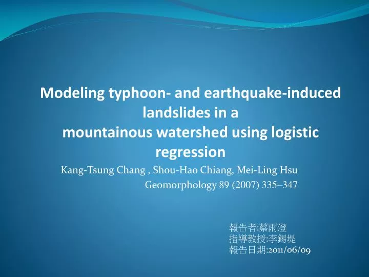
Modeling typhoon- and earthquake-induced landslides in a mountainous watershed using logistic regression. Kang- Tsung Chang , Shou-Hao Chiang, Mei-Ling Hsu Geomorphology 89 (2007) 335–347. 報告者 : 蔡雨澄 指導教授 : 李錫堤 報告日期 :2011/06/09. Introduction.

E N D
Modeling typhoon- and earthquake-induced landslides in amountainous watershed using logistic regression Kang-Tsung Chang , Shou-Hao Chiang, Mei-Ling Hsu Geomorphology 89 (2007) 335–347 報告者:蔡雨澄 指導教授:李錫堤 報告日期:2011/06/09
Landslides occur when unstable rock and soil masses on slopes are disturbed by earthquakes, intense storms, human activities such as road construction, or a combination of these factors. • Many researchers have used logistic regression to predict probabilities of landslide occurrence by analyzing the functional relationships between the instability factors and the past distribution of landslides.
We used landslides triggeredby a typhoon in 1996 and a major earthquake in 1999 tobuild a typhoon-induced modeland an earthquake-induced model, respectively.
Hoshe basin Area:92km2 Elevation:770~2850m Slope:0°~77° Topographic map (left) and oblique aerial photograph (bottom right) of the study area
Four Miocene lithologic formations • Hoshe (Hs) Formation • Nanchuang (Nc) Formation • Kueichulin (Kcl) Formation • T Terrace Two sets of strike–slip faults • WNW • NNE Climate: subtropical Mean annual temperature:16°C Mean annual precipitation:2300mm Geological map of the study area
Chi-Chi earthquake 1999 /9/21, magnitude of 7.6 epicenter: about 60 km to the northwest of the study area
Wetness index: ln(a/tan β) a: contributing area tan β:slope
Distribution of landslides triggered By typhoons and earthquake.
The logit model from a logistic regression has the following form: y: dependent variable xi: the i-th explanatory variable a: constant a bi: thei-th regression coefficient e: error term. The logit of y is the natural logarithm of the odds: p: the probability of the occurrence of y p/(1−p): the odds To convert logit(y) back to the probability p, it can be rewritten as:
The numbers of landslide cells for each event are as follows: • Herb:783 • Chi-Chi:4213 Toraji: 6294 Mindulle: 2161 Haitang:1146 • Random sample: • 500 landslide cells and 500 stable cells for developing each model • Ran logistic regression analysis in the Statistical Package of Social Sciences (SPSS)
(Overlapped landslide area / Total landslide area on digital map)*100%
slope length) distance to channel LL = (distance to channel)/(slope length)
Typhoon-triggered landslides tended to be near stream channels and earthquake-triggered landslides were more likely to be near ridge lines. • A major earthquake such as the Chi-Chi earthquake could still affect the spatial location of typhoon-triggered landslides 6 years after the event. • By covering both types of landslides in a natural experiment, this study takes a step closer to understanding one of the most destructive natural hazards.