Download
1 / 14
140 likes | 162 Views
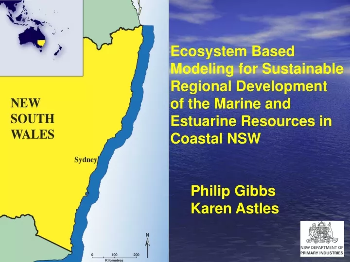
This collaborative project between DPI/CSIRO focuses on comprehensive coastal assessment and enhanced decision support tools for sustainable management of marine and estuarine resources in Coastal NSW. Using advanced modeling frameworks, the program aims to develop ecosystem models that integrate human activities and environmental factors to aid in effective natural resource management. The project also addresses climate change impacts, coastal vulnerability assessment, and potential scenarios for future coastal management. By building virtual ecosystems and monitoring impacts, the program aims to provide valuable insights to stakeholders and decision-makers for informed management strategies.

E N D
Ecosystem Based Modeling for Sustainable Regional Development of the Marine and Estuarine Resources in Coastal NSW Philip Gibbs Karen Astles
The Program & Linkages • DPI/CSIRO 5 year collaboration ‘Umbrella program’ • Comprehensive Coastal Assessment • Enhanced decision support tools for NRM action plans (phase 2) • Northern Rivers CMA (CLAM project) • Initial project in Clarence Estuary • CSIRO National Research Flagships ‘Wealth from Oceans’ theme
Objectives • Modelling frameworks for a multiple – use management of coastal environments • Develop and apply models of the ecosystem and human activities • Design and evaluate potential ‘monitoring programs’ Broad “Whole of Landscape” Modelling
ProgramOutline Management Objectives Building virtual ecosystem (Operating model) Management strategy/ scenarios Atlantis Biogeochemical model Data Policy formation Management responses Presentation of outputs to decision makers Monitoring/ adaptive management
impacts Humanactivities Ecosystem Modelling& Monitoring Management
Interface Between Stakeholders Management Science
Climate Change • National Adaptation Framework • Coastal Vulnerability Assessment • Increasing Temperature • Rainfall:- variability, total amount, ENSO • Sea level rise • Increasing ocean acidity
Likely Impacts • Ocean current changes • Storm surges • Freshwater flow to estuaries • Habitat change • Recruitment patterns fish & invertebrates • Biodiversity, Threatened species, Marine pests • Socio economic effects
Tools • Spatial biogeochemical model with coupled physical transport ‘ATLANTIS’ • Physical box model in 3 dimensions • Nutrient flow (nitrogen silica), mass balance of functional groups (physical, O2 CO2, living, detritus) • Trophic dynamics (food web) of primary & secondary producers / consumers (phytoplankton to dolphins) • Growth, mortality, recruitment, migration, consumption, excretion, predation, habitat dependency • Computational limit
Timeframe 1950 to 2030 Fisheries management – catch, effort, gear, zoning, closures, by-catch Climate change Land-use Increasing population and urbanisation Socio economic change “What if” Scenarios
The Future • Finer resolution of the shelf model nearshore component • Explicit representation of Marine Parks • Second estuary with a focus on urban rather than agricultural inputs • Coupling of estuary and shelf models • Documentation of the “what if” outputs
Is Ecosystem Modelling Possible? Geophysical environment Plantsand Animals Politics People (social) Economics