Download
1 / 10
100 likes | 105 Views
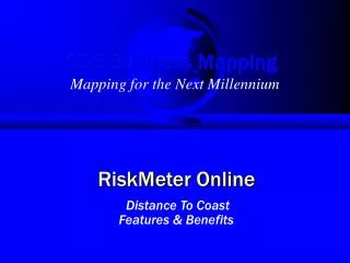
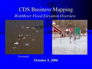
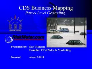
CDS Business Mapping. RiskMeter Online. Mapping for the Next Millennium. Distance To Coast. Features & Benefits. This is what is shown on Yahoo Maps or MapQuest. They simply show you the house and the area.

E N D
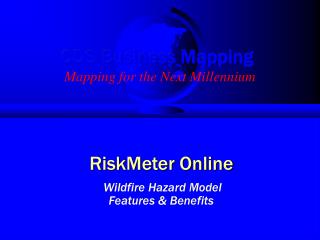
CDS Business Mapping RiskMeter Online Mapping for the Next Millennium Distance To Coast Features & Benefits
This is what is shown on Yahoo Maps or MapQuest. They simply show you the house and the area. The user is expected to determine what water is important, and the distance to the water by “Guestimating” with the scale bar. How far is this? Does this water matter?
Distance to nearest body of water: .18 Miles - Nantucket Sound* Distance to Ocean or Gulf: 12.75 Miles -Atlantic Ocean* Other Services Don’t Give You Maps! * This is an actual address and the reported results from a competitor's system!
Distance to nearest body of water: .18 Miles - Nantucket Sound* THEM RISKMETER Distance to Coast: Within 1,000’ Distance to Ocean or Gulf: 12.75 Miles - Atlantic Ocean* No Map Available This is right on the coast on Cape Cod! * This is an actual address and the reported results!
We tell you the distance to the “Coast”. Not the distance to just the closest body of water. Distance to Shore within 1 mile In addition, we only measure to the coast as defined by you. We measure to the pink line, not all water.
BEFORE AFTER As you can see, some of the coastline has been removed. The Risk Meter will no longer measure against this. We can customize the shoreline according to your definition
To calculate the distance to the coast (or other features), the RiskMeter uses a set of concentric circles. It continues until it hits the coastline. 0.5 Miles 1.0 Miles 1.5 Miles RiskMeter Coastline
We can set the coastal distances to meet your underwriting guidelines. 0.1 Mile 0.2 Mile 0.3 Mile 0.4 Mile 0.5 Mile Etc... 1500 Feet 0.5 Mile 1.0 Mile
The RiskMeter • Automatically determines the distance to coast • The underwriter does not have to interpret the map at all • Uses your definition of coastal water Does not include water that shouldn’t be measured to • Uses your distance guidelines • It uses the distance parameters as set by you. No need to “measure to the water” • Can be automatically used to quote & bind because it gives back a specific value The RiskMeter is Simply the Best!
QUESTIONS? For Further Information, Contact CDS Business Mapping 67 Broad St - 6th Floor Boston, MA 02109 617-737-4444 www.cdsys.com