Download
1 / 9
90 likes | 292 Views
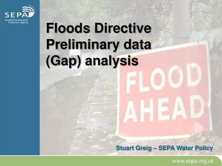
Floods Directive Preliminary data (Gap) analysis. Stuart Greig – SEPA Water Policy. Project aims. Examine data requirements of EU Floods Directive Review datasets currently available in Scotland Identify gaps and recommendations. Floods Directive.

E N D
Floods DirectivePreliminary data (Gap) analysis Stuart Greig – SEPA Water Policy
Project aims • Examine data requirements of EU Floods Directive • Review datasets currently available in Scotland • Identify gaps and recommendations
Floods Directive The Directive requires action by member states in three main areas- • Preliminary flood risk assessment • Flood hazard/Risk mapping • (Catchment) flood risk management planning Flood Management plan Flood Risk assessments Flood Risk Mapping
Flood Directive cont High quality national data required to: • Increase public awareness • Develop sustainable policies and strategies • Support the process of prioritising, justifying and targeting investments and • Support flood risk management plans, spatial planning and emergency plans
Flood Management Planning Delivery and Delivery Plans Lead- Appropriate Responsible Authority Area Flood Management Plan Lead- Competent Authority National and catchment Flood Advisory Groups National and Catchment Stakeholder Forums Steering Group/Board Catchment Management plan/strategy Data Collation/ catchment understanding Flood Risk assessments Flood Risk Mapping Implementation/ Delivery plans Implementation of measures taken forward by appropriate responsible authority- includes measures to deliver improved alleviation, avoidance, assistance, awareness. Delivery plans organise and plan implementation of specific measures to address flood risks, and are developed within the context of the Area Flood Management Plan. They may include urban drainage plans, development planning, rural land management plans, water utility plans, forestry plans, awareness campaigns, flood warning. The plans are developed and delivered by the appropriate responsible authority or authorities. Tasks- Assesses management options in consideration of social, environmental and economic criteria. Sets objectives for flood management, identifies measures and provides context for developing delivery plans. Outputs- Area Flood Management Plan/strategy upon which to prioritise and deliver measures.. Tasks- Assimilation and analysis of information on flood risks, including future scenarios and climatic predictions. Outputs- Understanding of nature and extent of current and future flood risks. Technical data rather than maps. Tasks- GIS Analysis of flood hazard (probability) and risks (impacts). Outputs- Series of maps summarising risks and impacts of flooding. Tasks- Assimilation of existing data and collection of new data. National data management and dissemination led by SEPA. Outputs- understanding of catchment character (hydrology/ Geomorphology/ landuse/socio economic) to inform preparation of plans.
Preliminary assessments • Maps of catchments and coastal areas, showing topography and land use; • Descriptions of ‘significant floods’ that have had adverse impacts on health, the environment, cultural heritage and economic activity • Assessments of potential consequences of future floods. Could include- • topography, • position of watercourses an floodplains • general hydrological and geomorphological character • position of populated areas and economic activity • long-term developments including impacts of climate change on the occurrence of floods.
Flood mapping Food Hazard Map • Only required for areas identified by preliminary risk assessments • Low , Medium, High probabilities • Water depth or level • Water velocity or flow Flood Risk Map • Indicative number of affected inhabitants • Type of economic activity affected • Sources of pollution • Other useful information
Key findings • Conditional assessment that PFRAs are broadly supportable using available data/methods. • Initial analysis that both the mandatory and optional requirements of Flood Hazard/Risk maps can be met- • Development of the Indicative River and Coastal Flood Map (Scotland); • Use of existing GIS and other datasets already available to SEPA; • Refinement of methods currently applied elsewhere by partner organisations.
Recommendations • Implementation guidance on Article 4 is required- e.g. definitions, non-mandatory • Need to understand content/form of CFMP to fully understand data requirements • A more thorough examination of processes for sharing data should be considered • Multi-agency pilot project examining data issues on a test catchment should be established