Download
1 / 58
590 likes | 735 Views
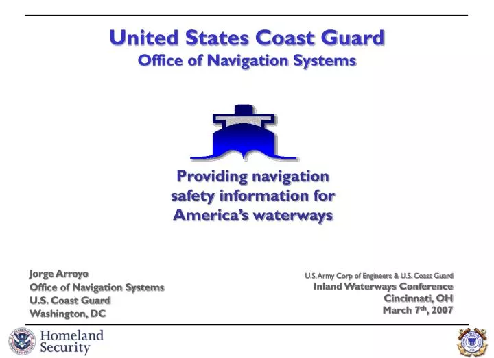
Providing navigation safety information for America’s waterways. United States Coast Guard Office of Navigation Systems. Jorge Arroyo Office of Navigation Systems U.S. Coast Guard Washington, DC. U.S. Army Corp of Engineers & U.S. Coast Guard Inland Waterways Conference Cincinnati, OH

E N D
Providing navigation safety information for America’s waterways United States Coast GuardOffice of Navigation Systems Jorge Arroyo Office of Navigation Systems U.S. Coast Guard Washington, DC U.S. Army Corp of Engineers & U.S. Coast Guard Inland Waterways Conference Cincinnati, OH March 7th, 2007
Automatic Identification System (AIS) • Why? • What is it? • Who has to have it…and will have too? • How does it work and used? • Where do we have coverage? • Nationwide AIS Project (NAIS) • Common Operating Picture (COP)
What started the USCG on AIS? In 1990, Congress passed the Oil Pollution Act which participation in VTS mandatory and directed the USCG to seek ways to have ‘dependent surveillance’ of all tankers bound for Valdez, Alaska. To that end, in 1993 the USCG developed Automated Dependent Surveillance Shipboard Equipment (ADSSE), based on Digital Selective Calling (DSC) protocol.
Congress supports/mandates AIS! In 1997, Congress…stated that AIS “technology should be the foundation of any future VTS system” and that it “strongly believes that this technology will significantly improve navigational safety, not just in select VTS target ports, but throughout the navigable waters of the U.S”, and, that we “continue working with stakeholders…”
Industry endorses AIS! In 1999, the National Dialog Group, comprised of the marine private and public representatives, stated they: “strongly endorse the widespread use of AIS employing dGPS and onboard transponder technologies…that national use of AIS technology on the greatest number of vessels is essential both as a foundation of a VTS system…improving navigation safety…strongly urge the USCG to take the lead…in developing equipment and procedural standards that will promote universal use of AIS technology”, which will “be less intrusive and distracting to the mariner than will a voice-based control system…”
AIS Carriage Regulations33 CFR 164.46 As of December 31st, 2004, the following must have a properly installed, operational, type-approved AIS • On international voyage: • Tankers, Passenger >150 GT, all others ships > 300 GT • Per SOLAS Regulation V/19.2.4 • Self-propelled commercial vessels > 65 feet • Except fishing and passenger vessels (<150 passengers) • Within a VTS area: • Self-propelled commercial vessels > 65 feet • Except fishing and passenger vessels (<150 passengers) • Towing vessel > 26 feet and > 600 hp • Vessel certificated to carry > 150 passengers
What is AIS? Autonomous Continuous Station-to-Station Navigation Broadcast System 3 modes of operation: automatic/self-reporting, assigned, interrogation/polling Open protocol & non-proprietary Robust capability: can handle up to 4500 reports per minute Frequency agile: any 2 channels in the VHF Marine Band Versatile: multiple standard interfaces and display options Internationally Adopted & Required (IMO SOLAS Regulation V/19.2.4) Tankers, passenger vessels, and, other ships 300 of gross tonnage or greater Purpose: collision avoidance, vessel traffic service tool, and, coastal surveillance Mandated by Congress by the Marine Transportation & Security Act of 2002 Commercial self-propelled vessels 65 feet or greater; Towing Vessels over 26 feet or greater and 600 hp or more; Passenger vessels as determined by USCG; and those the USCG deems necessary for safety.
Forthcoming AIS Rule Announcement published October 31st, 2005 Extend to all U.S. navigable waters Potentially could effect 17,000 vessels. Commercial self-propelled vessel of > 65 feet No exceptions Towing vessel > 26 feet and > 600 hp Vessels carrying >50 passengers (vice 150) Hi-Speed vessels carry > 12 passengers Certain dredges / floating plants, and Vessel moving certain dangerous cargoes Forthcoming rulemaking will address timeline Reasonable time will be given for installation/use Waiver provisions already exist
AIS how… Time-Division Multiple Access (TDMA) [][][][][][]][][][][][][][][][][][][][][][][][] Gyro/Heading Rate of Turn per SOLAS requirements GNSS dGPS Inputs 1 VHF Transceiver 3 VHF Receivers - AIS1 Ch.87B - AIS2 Ch.88B - DSC Ch.70 !AIVDM,2,2,7,A,2220<5<PTq2r7P2222220p4q@T<tdE2r`P0,2*4E... NMEA-0183 !ECBBM,2,2,0,0,8,>@fQp0PPPPPP>1>D93?;5@fb80,0*64 COMMUNICATE Broadcasts and manages the flow of AIS data sentences ASSEMBLE Gathers positioning, heading, vessel data and assembles it into an AIS compliant data sentences READ AIS data sentences may be read/sent on/to multiple devices
AIS ATON’s • Monitors ‘health’ & position • Improves availability by reducing time to respond to outages because of near real time monitoring. • Improves “visibility” to AIS equipped vessels.
See around bends Calculate encounter zones
See around bends Calculate encounter zones
Binary Messages and Functional Identifiers • AIS allows the transfer of Binary Messages • a means for communication for external applications • General broadcast • Addressed to specific station (MMSI) • Results in a Binary Acknowledgement to confirm that the addressed binary message was received • All binary messages are composed by • an external application on the transmission side • can only be used by the same external application connected to the AIS on the receiver side.
Meteorological & Hydrological Reporting • Improves the overall safety & efficiency of marine traffic • Some in place since 2002
AIS Event Detection • Automatic event detection • User specified event types • Flag to indicate status of event • Find vessel involved in event • Forward event information via: • System Integration Module • SMS or email • Speech integrated
Lock Order Message • Used by Saint Lawrence Seaway since 2002 • Improves efficiency, lock utilization, mitigates racing & wait time
USACE Real-time Current Velocity Meters
AIS Traffic Analysis & Vessel Traffic Management The before and after implementation of traffic separation scheme
Industry is using AIS – Washington St. Ferries Acceleration/deceleration graphs shows areas of opportunity for fuel savings
European Multi-service Meteorological Awareness system Weather Warnings EMMA – Shore to Ship) Low Temp High Temp Fog Rain Wind Thunderstorm Snow and Ice Forest Fire Avalanche Flood
European Multi-service Meteorological Awareness systemSignal Status – Shore to Ship Physical configurations
Current U.S. AIS Capability notional coverage • USCG VTS • NY/NJ, LMR, HOU/GAL, Tampa, Port Arthur, Berwick Bay, LA/LB, SF, Puget and Prince Wm. Sound • Joint Harbor Operations Centers (USCG/USN JHOC) • MOA with St. Lawrence Seaway • USCG R&D AIS Efforts • Prototype AIS installations and network • Coverage analysis and evaluation • Evaluating AIS & VHF voice communications compatibility • Alaska Secure Passive AIS • Gulf of Mexico Offshore Platforms • NOAA Weather Buoys with AIS • Commercial Low Earth Orbit Satellite-Orbcomm launch
Daily number of vessels tracked between 3/03 and 3/07 Coast Guard R&D Center AIS Network
Nation-wide AIS Project Overview • Automatic reception of AIS information (vessel ID, location, speed, and other navigational information) nationwide out to 2000nm from shore • Transmission of standard messages out to 24nm from shore • Correlation with other vessel and crew database systems for intelligence and operational decision makers • Display information to a Common Operational Picture (COP) and share with other agencies
One known need: Common Operating Picture “plus” Unclassified Unclassified Satellite Photos News Media Port Security Plans Weather Data Unclassified Cargo, Crew Data Unclassified Vessel Tracking Data AutomaticIdentification System data Models (e.g. radiological dispersion) Port Security Assessments Maps & Charts Facilities Security Plans Common Operating Picture “plus” Defense Operations Plans Maritime Information for Safety and Law Enforcement (MISLE) data National Assets Force Deployments Customs Information FBI Information Law Enforcement Operations Plans Common Intelligence Picture Sensitive Classified
Nation-wide AIS Project • Display information to a Common Operational Picture (COP) and share with other agencies
Display information to a Common Operational Picture (COP) and share with other agencies