Download
1 / 17
170 likes | 179 Views
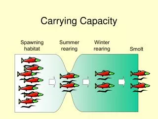
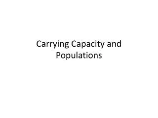
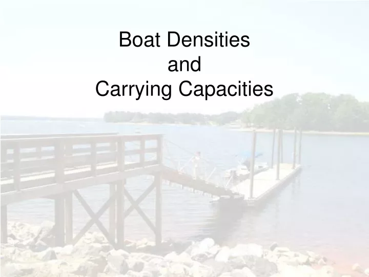
Boat Densities and Carrying Capacities. Boat Density and Carrying Capacity. What are they? Why do I care? What does this have to do with relicensing?. Definitions.

E N D
Boat Density and Carrying Capacity What are they? Why do I care? What does this have to do with relicensing?
Definitions • Boat density - The number of boats per unit area. May include type of boat/activity, and may address shoreline configuration and availability of open water • Carrying capacity – The type and level of visitor use that can be accommodated while sustaining the desired resource and social objectives (NPS, 1997)
Boat density is a building block used to estimate carrying capacity • Other building blocks might include number/type of public access sites, shoreline development, sensitive resources, water quality….and the list goes on
Carrying Capacity May include… Accident data (on the water) Aquatic and submerged habitats Boat density Commercial access & development Cultural & historical properties Flora and fauna Private / residential access & development Public access & development Public or user preferences Shoreline configuration Shoreline erosion Shoreline habitats Special events (tournaments, regattas) Water quality Compared… Boat Density May Include… • Number of boats per acre • Type of boat or activity • Shoreline configuration • Volume of use (user expectations based on proximity to population and shoreline development)
Carrying Capacity • Provides an estimate of a number of boats (or people) that can be accommodated physically and socially by a specific area of water USE WITH CAUTION! Remember, usually a FERC licensee does not control boating on the water. Carrying capacity estimates can guide management decisions, but are generally not used by licensees to limit boating activity. A licensee will not count boats daily and start evicting boaters from a lake when the number of boats exceeds an estimated carrying capacity!
First… • Typically, a licensee is responsible for managing recreational use and related development within its Project Boundary on the shoreline or submerged lands. • Usually, a state agency or agencies are responsible for managing activity on the water at FERC-licensed projects. • Fishing, boating, etc.
Shoreline Management Plan Aquatic and submerged habitats Boat density Commercial access & development Cultural & historical properties Dredging Flora and fauna Permitting Private / residential access & development Public access & development Public or user preferences Shoreline erosion Shoreline habitats Water quality Carrying Capacity Study Accident data (on the water) Aquatic and submerged habitats Boat density Commercial access & development Cultural & historical properties Flora and fauna Private / residential access & development Public access & development Public or user preferences Shoreline configuration Shoreline erosion Shoreline habitats Special events (tournaments, regattas) Water quality Second…Avoid Duplication of Effort
Examples • Entergy Arkansas, Inc. for the Carpenter-Remmel Project (1999) • Duke Energy Corp. for the Nantahala Area Projects (2003) • GRDA for the Pensacola Project (2006)
Entergy’s Lake Hamilton and Lake Catherine study… The sample was distributed within each month proportionate to the total number of days in each month. A total of 40 days were sampled at each impoundment. Within each month, sample days were stratified by day type (weekdays, weekend days, and holidays) and time of day. Aerial counts of boaters (including anglers, jet skiers (PWC), water skiers, tubers, pleasure boaters, tour boats, and on the river there are anglers, floaters, and surfers) were completed on a sample of days for a one year period.
What Can We Learn? • Identify areas of unique uses • Identify areas of crowding • Identify where use can be spread out to help protect/manage other resources • Inputs into shoreline management decisions • Identify information needs • Identify needed expansions at facilities to address user needs
Licensee Considerations • Avoid setting a carrying capacity number that will require restrictions on public access • FERC does not advocate restricting access to project waters. Tailor decisions based on all resources and remember, environmental and social considerations are dynamic: management plans should be too. • Determine the metrics that you will consider before starting data collection • There’s nothing more frustrating than finding out that the data collected will not answer the question asked. • Be comfortable with agencies and stakeholders – know where your responsibilities begin and end • A licensee’s responsibility is to provide and manage access to project waters. It may not include management of activity on the water. • Work with agencies and stakeholders. • You may need them to provide information (data, expertise, etc) or implement some of the resulting recommendations. Cooperation and buy-in from stakeholders will always result in a more accepted and workable management plan.