Download
1 / 9
100 likes | 356 Views
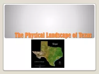
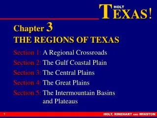
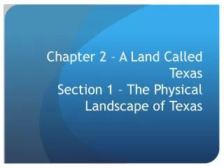
Chapter 2 – A Land Called Texas Section 1 – The Physical Landscape of Texas. The Borders of Texas. Gulf of Mexico – Southeast Mexico – South New Mexico – West Oklahoma – North Arkansas – Northeast Louisiana - East. Landscape of Texas. Four major types of landforms

E N D
Chapter 2 – A Land Called TexasSection 1 – The Physical Landscape of Texas
The Borders of Texas • Gulf of Mexico – Southeast • Mexico – South • New Mexico – West • Oklahoma – North • Arkansas – Northeast • Louisiana - East
Landscape of Texas • Four major types of landforms • Hills – spread throughout the plains, mostly in Central Texas and the Hill Country to the west of Central Texas • Mountains – mostly located in West Texas, several ranges in Texas, highest peak is the Guadalupe Peak in the Guadalupe Mountains • Ranges – groups of mountains
Landscape of Texas • Four major types of landforms • Plains – areas of flat or gently rolling land without a sharp rise or fall in elevation • Covers most of the Gulf Coast, Panhandle, North Texas, South Texas, and West Texas • Plateaus – areas of flat elevated land that drop sharply on one or more sides • Largest Plateau is Edwards Plateau located west of Hill Country and rises in elevation from east to west.
Texas River Systems • All rivers and streams eventually flow into the Gulf of Mexico • First System: All the rivers and streams in North Texas that flow into the Mississippi River • Includes Red River and Canadian River • Second System: Flows parallel to one another directly into the Gulf of Mexico • Includes the Brazos, Colorado, Neches, Nueces, Sabine, and Trinity Rivers
Texas River Systems • Third System: Rio Grande and its tributaries • Includes the Pecos River • Tributaries – any smaller streams or rivers that flow into a larger stream or river • The Rio Grande is the boundary between Texas and Mexico
Texas Lakes and Aquifers • Most of the lakes in Texas are man-made via dams to create reservoirs for drinking water, recreation, and irrigation • Reservoirs – artificial lakes • Irrigation – watering of crops
Texas Lakes and Aquifers • Water is also found in aquifers, which are filled by rainwater • Aquifer – formation of natural gravel, rock, and sand that trap and hold rainwater underground
Texas Lakes and Aquifers • Ogallala Aquifer – largest underground water source in the state. Stretches from West Texas to South Dakota. • Edwards Aquifer – provides water for San Antonio, Austin, and the rest of Central Texas