Download
1 / 30
300 likes | 419 Views
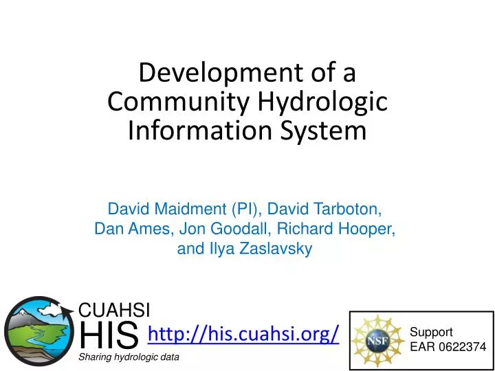
Development of a Community Hydrologic Information System . David Maidment (PI), David Tarboton, Dan Ames, Jon Goodall, Richard Hooper, and Ilya Zaslavsky. http://his.cuahsi.org/. CUAHSI HIS Sharing hydrologic data. Support EAR 0622374.

E N D
Development of a Community Hydrologic Information System David Maidment (PI), David Tarboton, Dan Ames, Jon Goodall, Richard Hooper, and Ilya Zaslavsky http://his.cuahsi.org/ CUAHSI HIS Sharing hydrologic data Support EAR 0622374
The way that data is organized can enhance or inhibit the analysis that can be done I have your information right here … Picture from: http://initsspace.com/
Data Models (x1,y1) Continuous surface
What are the basic attributes to be associated with hydrologic data values and how can these best be organized? Groundwater levels Streamflow Precipitation & Climate Soil moisture data Flux tower data Water Quality
What is HIS • The CUAHSI Hydrologic Information System (HIS) provides web services, tools, standards and procedures that enhance access to more and better data for hydrologic analysis. http://his.cuahsi.org Water quantity Water quality Precipitation Meteorology
Consortium of Universities for the Advancement of Hydrologic Science, Inc. • 110 US University members • 6 affiliate members • 12 International affiliate members • (as of March 2009) An organization representing more than one hundred United States universities, receives support from the National Science Foundation to develop infrastructure and services for the advancement of hydrologic science and education in the U.S. http://www.cuahsi.org/
HIS Team and Collaborators • University of Texas at Austin – David Maidment (PI), Tim Whiteaker, Ernest To, Bryan Enslein, Kate Marney • San Diego Supercomputer Center – Ilya Zaslavsky, David Valentine, Tom Whitenack • Utah State University – David Tarboton, Jeff Horsburgh, Kim Schreuders, Justin Berger • Drexel University – Michael Piasecki • University of South Carolina – Jon Goodall, Tony Castronova • Idaho State University – Dan Ames, JiříKadlec, Ted Dunsford, TevaVeluppillai • CUAHSI Program Office – Rick Hooper, David Kirschtel, Conrad Matiuk, YooriChoi • WATERS Network – Testbed Data Managers • HIS Standing Committee • USGS– Bob Hirsch, David Briar, Scott McFarlane • NCDC– Rich Baldwin
return request return request NAWQA request return request return NAM-12 return request NWIS return request return request return request NARR Data Searching – What we used to have to do Searching each data source separately Michael Piasecki Drexel University
NAWQA NWIS NARR ODM What HIS enables Searching all data sources collectively GetValues GetValues GetValues GetValues generic request GetValues GetValues Michael Piasecki Drexel University GetValues GetValues
Services-Oriented Architecture for Water Data HIS Central Data Discovery and Integration platform Metadata Services Metadata Search Service and data theme metadata Service registration Data carts Catalog harvesting Data Services Data Synthesis and Research platform Data Publication platform Water Data Services Spatial Data Services HIS Server HydroDesktop
Base Station Computer(s) Telemetry Network Sensors CUAHSI Water Data Services System Discovery Analysis Access Query, Visualize, and Edit data using ODM Tools Hydroseek GIS Matlab Splus R IDL Hydro Desktop HydroExcel Java C++ VB ODM Database Service Registry Hydrotagger WaterML Streaming Data Loader GetSites GetSiteInfo GetVariableInfo GetValues Excel, text HIS Central Harvester USGS NWIS Water Metadata Catalog WaterOneFlow Web Service ODM Data Loader EPA STORET NCDC Others
Set of query functions ReturnsdatainWaterML WaterML and WaterOneFlow WaterML is an XML language for communicating water data WaterOneFlow is a set of web services based on WaterML Slide from David Valentine
GetValues GetVariables qualifier ISO Time value
Direct analysis from your favorite analysis environment. e.g. Matlab % create NWIS Class and an instance of the class createClassFromWsdl('http://river.sdsc.edu/wateroneflow/NWIS/DailyValues.asmx?WSDL'); WS = NWISDailyValues; % GetValues to get the data siteid='NWIS:02087500'; bdate='2002-09-30T00:00:00'; edate='2006-10-16T00:00:00'; variable='NWIS:00060'; valuesxml=GetValues(WS,siteid,variable,bdate,edate,'');
“When” Time, T t A data value vi (s,t) “Where” s Space, S Vi “What” Variables, V What are the basic attributes to be associated with each single data value and how can these best be organized? Groundwater levels Streamflow Precipitation & Climate Soil moisture data Flux tower data Water Quality • Observations Data Model (ODM) • A relational database at the single observation level (atomic model) • Stores observation data made at points • Metadata for unambiguous interpretation • Traceable heritage from raw measurements to usable information • Standard format for data sharing • Cross dimension retrieval and analysis
CUAHSI Observations Data Model http://his.cuahsi.org/odmdatabases.html Horsburgh, J. S., D. G. Tarboton, D. R. Maidment and I. Zaslavsky, (2008), A Relational Model for Environmental and Water Resources Data, Water Resour. Res., 44: W05406, doi:10.1029/2007WR006392.
Hydroseekhttp://www.hydroseek.org Bora Beran, Drexel Supports search by location and type of data across multiple observation networks including NWIS and Storet
HydroExcel http://his.cuahsi.org/hydroexcel.html
HIS Server • Internet Map Server built using ArcGIS • Web browser client • Combine spatial data and observational data • Self contained fully documented with local control of data • Launch data visualization tools e.g. http://icewater.usu.edu/map and http://littlebearriver.usu.edu/
Loading data into ODM ODM Data Loader • Interactive ODM Data Loader • Loads data from spreadsheets and comma separated tables in simple format • Streaming Data Loader (SDL) • Loads data from datalogger files on a prescribed schedule • Interactive configuration • SQL Server Integration Services (SSIS) • Microsoft application accompanying SQL Server useful for programming complex loading or data management functions SDL SSIS
Reducing Semantic Heterogeneity • ODM Controlled Vocabulary System • ODM CV central database • Online submission and editing of CV terms • Web services for broadcasting CVs ODM VariableNameCV Variable Name From Jeff Horsburgh
Dynamic controlled vocabulary moderation system ODM Data Manager ODM Website ODM Tools ODM Controlled Vocabulary Moderator XML Master ODM Controlled Vocabulary Local ODM Database ODM Controlled Vocabulary Web Services Local Server http://his.cuahsi.org/mastercvreg.html From Jeff Horsburgh
HydroDesktopHarvesting and analyzing data from web services GIS Hydrology • Add shapefiles to map • Change symbology and labels • Print and export map • GIS toolbox • Search for data • Download data • Display time series • Export data http://hydrodesktop.codeplex.com
Database Access Layer Web Service API HydroDesktop Building blocks Actual Data Dababase MapWindow GIS Components HIS ServerWeb Services HIS CentralWeb Service Metadata Cache Database HydroDesktop Main Application Plug-in Interface Metadata plug-in Search plug-in Graph View plug-in
Advancement of water science is critically dependent on integration of waterinformation Databases: Structured data sets to facilitate data integrity and effective sharing and analysis. - Standards - Metadata - Unambiguous interpretation Analysis: Tools to provide windows into the database to support visualization, queries, analysis, and data driven discovery. Models: Numerical implementations of hydrologic theory to integrate process understanding, test hypotheses and provide hydrologic forecasts. Models ODM Web Services Databases Analysis
Conclusions • Data Storage in an Observations Data Model (ODM) • Data Delivery through internet-based Water Data Services using a consistent data language, called WaterML • Data Discovery through federated thematic keyword search services and a National Water Metadata Catalog • Data Access and Analysis through a Client Application (HydroDesktop) The combination of these capabilities creates a common window on water observations data for the United States unlike any that has existed before.
Reports • 2008 status report summarizes the conceptual framework, methodology, and application tools for HIS • Shows how to develop and publish a CUAHSI Water Data Service • 2009 status report details the expansions and updates http://his.cuahsi.org/documents/HISOverview2009.pdf