Download
1 / 35
360 likes | 533 Views
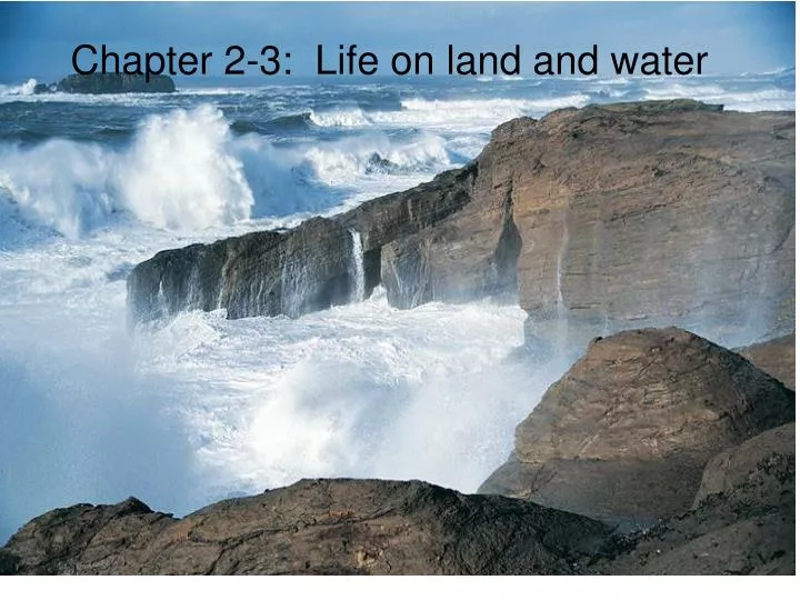
Chapter 2-3: Life on land and water . Large-Scale Patterns of Climatic Variation. Spherical shape and tilt of earth’s axis cause uneven heating of earth’s surface. Drives air circulation patterns and consequently precipitation patterns. Warm, moist air rises.

E N D
Large-Scale Patterns of Climatic Variation • Spherical shape and tilt of earth’s axis cause uneven heating of earth’s surface. • Drives air circulation patterns and consequently precipitation patterns. • Warm, moist air rises. • Cools, condenses, and falls as rain. • Cooler, dry air falls back to surface. • Rainforests found near equator. • Major deserts found near 30o N / S.
Pathlength and Seasons Campbell 46.5
Climate Diagrams • Summarize climatic information using a standardized structure. • Temperature plotted on left vertical axis. • Precipitation plotted on right vertical axis. • 10o C equivalent to 20 mm precipitation. • Relative position of lines reflect water availability. • Adequate moisture for plant growth when precipitation above temperature.
Soil : Foundation of Terrestrial Biomes • Soil is a complex mixture of living and non-living material. • Classification based on vertical layering (soil horizons). • Profile provides a snapshot of soil structure in a constant state of flux.
Soil Horizons • O horizon: Organic Layer freshly fallen organic material - most superficial layer. • A horizon: (topsoil) Mixture of minerals clay 粘土, silt 礫土 and sand 砂土. • B horizon: (subsoil) Clay, humus, and other materials leached from A horizon. Denser structure; often contains plant roots. • C horizon: Weathered parent material.
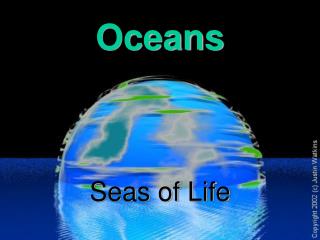
Hydrologic cycle • Over 71% of the earth’s surface is covered by water: • Oceans contain 97%. • Polar ice caps and glaciers contain 2%. • Freshwater in lakes, streams, and ground water make up less than 1%.
The Hydrologic Cycle • Distribution of water is not static: • Heat • Evaporation • Clouds • Precipitation • Evaporation • Consumed by organisms • Groundwater • Surface water
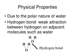
水的特性 • Specific Heat • Number of calories to raise 1 gram of water 1 C. • 1 cal energy to heat 1 cm3 of water 1o C. • Air - .0003 cal • Latent Heat of Evaporation • 560 cal to convert 1 g H2O at 100 C to vapor.
Viscosity 黏滯度 (100 X of air) • Buoyancy 浮力 • Surface tension 表面張力
Riparian vegetation influences stream temperature by providing shade.
Soil texture chart clay 粘土 silt 礫土 sand 砂土
Good soil consists of • Air: sand • Water: silt, clay • Minerals: clay • Example, clay loam soil (clay 35%, silt 35%, sand 30%)