Download
1 / 10
180 likes | 516 Views
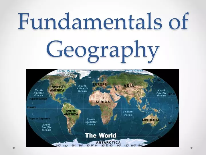
Fundamentals of Geography. Latitude and Longitude. Imaginary lines used to help navigate and find locations Latitude lines are horizontal 0 degrees is the Equator Longitude lines are vertical 0 degrees is the Prime Meridian. When have these mattered???. 36°30’N Missouri Compromise

E N D
Latitude and Longitude • Imaginary lines used to help navigate and find locations • Latitude lines are horizontal • 0 degrees is the Equator • Longitude lines are vertical • 0 degrees is the Prime Meridian
When have these mattered??? • 36°30’N • Missouri Compromise • Established free and slave territories in the U.S. • 49th Parallel (49°N) • Oregon Treaty (1846) set northern border of U.S. • Treaty of Tordesillas (Line of Demarcation) • Divided Spanish and Portuguese territories in the “New World”
Geographic Coordinates • Absolute location specified with numbers and letters • Latitude 1st, then Longitude 2nd • Example 10°N 135°W • Latitude 0 – 90 • Longitude 0 – 180
Geographers’ Tools • Globe • 3 dimensional representation of Earth • Maps • 2 dimensional graphic representations of Earth’s surface • Map projection • Way of drawing Earth’s surface that reduces distortion
Physical Maps • Show landforms and natural features of Earth
Political Maps • Show features on Earth created by people
Thematic Map • Show specific types of information
Projections • Mercator – shapes are distorted at poles and compressed near equator • Robinson – near true sizes and shapes, but distorted near poles
Map Assignment • Use the atlas to help create either a physical, political, or thematic map. • Can be real or fictional place • Have a key, compass rose, and title • Must have some color!!! (black and blue ink does not count!!!) • Physical Map • Must have at least 5 types of landforms/changes in elevation • Political Map • Must have at least 5 manmade objects • Thematic Map • Must have at least 5 components of your theme