Download
1 / 3
30 likes | 164 Views
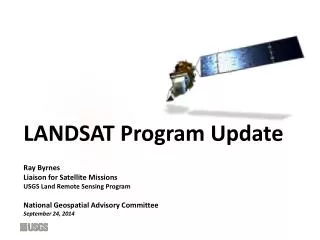
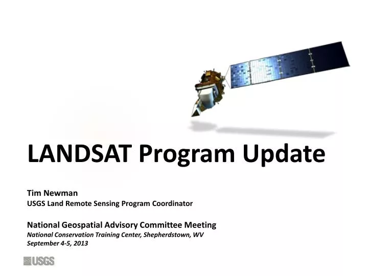
LANDSAT Program Update. Tim Newman USGS Land Remote Sensing Program Coordinator National Geospatial Advisory Committee Meeting National Conservation Training Center, Shepherdstown, WV September 4-5, 2013 . Landsat Program Status. Landsat 8

E N D
LANDSAT Program Update Tim Newman USGS Land Remote Sensing Program Coordinator National Geospatial Advisory Committee Meeting National Conservation Training Center, Shepherdstown, WV September 4-5, 2013
Landsat Program Status • Landsat 8 • USGS assumed possession of the satellite from NASA on 05/30/13 • Collecting approximately 500 new scenes every day • Well over 400,000 L8 scenes distributed to date (>4000 per day) • New capabilities proving very popular: • 8-10 time improvement in signal-to-noise ratio • 12-bit quantization • New coastal blue band (detection of water column constituents) • New cirrus band (better cloud screening) • Additional thermal band (more precise temperature measurements) • Landsat7 • Still obtaining seasonal global coverage with excellent image data • About 22% of pixels are missing per scene due to faulty scan-line corrector • Sufficient fuel remains for operation for 3-4 more years • Landsat 5 • Final image was acquired 01/08/13; decommissioning began 01/15/13 • After fuel was depleted, final shut-down command was uplinked 06/05/13 • Satellite is now well below 705 km Landsat operational altitude • Will re-enter atmosphere and burn up in approximately 21 years • Landsat9 and Beyond • USGS is working closely with NASA on a long-term plan
Sustainable Land Imaging Architecture Study • 2014 President’s Budget proposes $20M for NASA to derive a plan, in cooperation with USGS, for sustained global land imaging for 20 years beyond the design life of Landsat 8 (2018) • Plan will be used to inform next budget cycle – due mid-2014 • NASA/USGS planning group established and holding regular meetings • Industry & Partner Day scheduled for September 18 at NASA HQ (registration required) • Plan to include options to maintain continuity, avoid data gaps, develop technology • Baseline system requirements continue global data acquisition, maintain quality of current Landsat 8 products • Will continue strong NASA-USGS relationship in future systems • USGS to verify Landsat user community’s basic data requirements • NASA to design, procure and launch government-owned space assets • USGS to operate ground systems; archive, process, and distribute land imaging data; and develop science and applications 09.03.2013-NGAC – 3