Download
1 / 16
160 likes | 302 Views
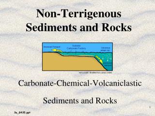
The Dishman Hills: Or How We Learned to Stop Worrying and Love the Rocks. Taylor DeWitt Ryan Pointer Janae Kaschmitter Kaelynne Byers. Introduction & Purpose.

E N D
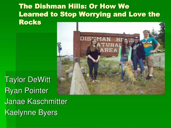
The Dishman Hills: Or How We Learned to Stop Worrying and Love the Rocks Taylor DeWitt Ryan Pointer Janae Kaschmitter Kaelynne Byers
Introduction & Purpose In this presentation we will discuss the rocks and geological features of the Dishman-Mica conservation area, as well as its history and recreation activities available. Our purpose was to research and identify the geological makeup of the Dishman Hills.
Project Location • Location: Spokane Valley along Appleway Blvd and Sargent Rd. • Directions: Take I90 E, take the Sprague exit (exit 285), onto Appleway Blvd. Keep going east on Appleway until Sargent Rd. Turn right on Sargent Rd. the Dishman Hills parking lot is the first turn on your right. Fig. 1 Map displaying route to Dishman Hills when going east in I-90. Satellite image courtesy of Google Maps.
General boundary of the Dishman Hills Natural Area. Fig. 2 Google Map zoomout showing size and scale of Dishman Hills Natural Area
Parking Spot Site 3 Site 2 Site 1 Fig. 3 Satellite zoom-in showing placement of site locations
Site Geology • Based on geological maps by R. E. Derkey et al. • Area consists of pre-Tertiary quartz-feldspar-mica orthogneiss(pTog). • Intrusions of Tertiary-Cretaceous fine grained, biotite-muscovite granite (Tki). • According to S. Babcock and B. Carson, the Dishman Hills were formed when magma crept its way up to the Belt-Purcell Supergroupand cooled into a granite. • Granite was buried by Columbia River Basalts; and all was eroded by the Missoula Floods.
Site Location: Spokane NE 7.5’ QuadrangleR 44 E, T 25 N, S 19 Site 2 Site 3 Parking Spot Site 1 Fig. 4 Site locations on Spokane NE 7.5’ Quadrangle geological Map (Derkey, et al.,1999)
Site 1 Fig.5 Pegmatite veins in subcropembedded in the ground. The lighter bands are majority quartz & feldspar. At this site we found a subcrop of weakly metamorphosed felsic orthogneiss. Veins of lighter colored quartz & feldspar are seen in the rock averaging about half-inch to an inch in thickness with properties consistent with pegmatite.
Site 2 This site also consists heavily of orthogneiss and pegmatite. It has a well defined foliation as compared to what was seen at site 1 (Fig. 6). The bands of quartz-feldspar-pegmatite are also thicker ranging 1-5 inches thick (Fig. 7). Fig. 6 Outcrop displaying the high grade foliation of pegmatite and feldspar. Fig. 7 Bands of quartz feldspar inside the pegmatite with mechanical pencil for scale.
This location of orthogneiss was cream colored due to sediment erosion from the top of the outcrop (Fig. 8). Facing east from the outcrop, a subcrop of orthogneiss and pegmatite can be seen where the pegmatite bands range from several inches up to several feet wide (Fig. 9). Fig. 8: Hillside of orthogneiss. Fig. 9: Subcrop of pegmatite & orthogneiss (standard notebook for scale). Site 3
Area History • The Dishman Hills is a 530 acre area that was set aside as a conservancy in 1966 due to the development around the area. Residents wanted a place set aside that would not be disrupted for the wildlife. It is protected by both profit and non profit organizations. • In July 2008, a wildfire broke out over the Dishman Hills and destroyed 1200 acres of land and 13 homes. The area has since recovered.
Recreation, Wildlife, Plants, etc. • The Dishman Hills boasts numerous trails for people to wander and adventure along. Fig. 10: Map of DishmanHills Trails.
Recreation, Wildlife, Plants, etc. (cont.) Dishman Hills has a wide variety of plant and animal life Animal species include coyotes, weasels, squirrels, chipmunks, marmots, porcupines, cottontail rabbits, and white-tailed deer. Raptors, ruffed tailed grouse, pheasants, and more than 50 species of butterflies Flora includes grass widows and arrowleaf balsamroot serviceberry, wild rose, ocean spray, glacier lilies (Fig. 11) and bearded iris (Fig. 12).
Fig. 11: Field of Glacier Lilies (Image Courtesy of Dishman Hills Conservancy) Fig 12: A sample of Bearded Iris.
Conclusion • In conclusion we learned that the Spokane area is rich in geological history and natural beauty. And fortunately for us, the Dishman Hills allows us to explore that history and beauty without leaving the city.
References • Babcock, S., Carson, B. Hiking Washington’s Geology. Seattle: The Mountaineers, 2000 • Derkey, R.E., Hamilton, M.M., and Stradling, D.F., 1999 Priliminary Geologic Map of the Spokane NE 7.5-Minute Quadrangle, Spokane County, Washington: Washington Division of Geology and Earth Resources, Open File Report 1999-6 • DishmanHills Conservancy. http://www.dishmanhills.org/ • Dishman Hills NRCA. http://www.dnr.wa.gov/AboutDNR/ManagedLands/Pages/amp_na_dishman.aspx • Dishman Hills Loop. Trails.com. http://www.trails.com/tcatalog_trail.aspx?trailid=HGW036-019 • Google Maps • Geranios, N. K. 2008 Wildfire Destroys 13 Homes in Spokane Area; 200 Evacuated. http://www.komonews.com/news/local/24385459.html