Download
1 / 35
350 likes | 356 Views
This overview provides information on the MERIS NRT WV product, which uses the absorption of water vapor in the 0.9µm band for water vapor abundance measurements. It includes motivation, physical background, summary of validation efforts, and conclusions.

E N D
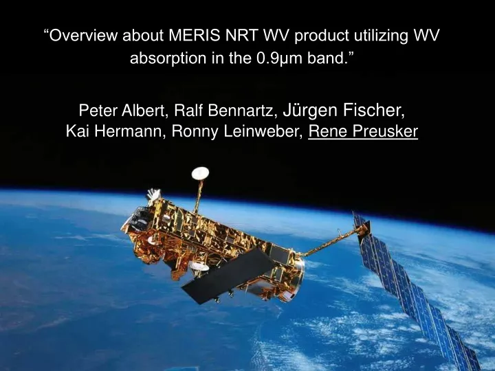
“Overview about MERIS NRT WV product utilizing WV absorption in the 0.9µm band.” Peter Albert, Ralf Bennartz, Jürgen Fischer, Kai Hermann, Ronny Leinweber, Rene Preusker
Motivation Physical background Summary of validation efforts and conclusions „Climatological“ application Outline
Motivation and overview Remote sensing Water vapour NWP/ NWC/ Climate Monitoring Atmospheric energy budget High spatial coverage Clouds and precipitation (Actual) state of the atmosphere
MERIS ENVISAT (carrier) launched: 1. März 2002 on Ariane 5 launcher (Kourou) - weight : 8 tons - costs : 2,3 billion Euro - height : 800km - orbit : sun-synchronous 10:30 AC MERIS (instrument) Medium Resolution Imaging Sectrometer on board ENVISAT 15 bands (390nm – 1040nm) resolutions: FR 250m / RR 1km swath: 1150km equator crossing time: 10:30h local time over Germany: approx. 9:45h to 10:40h UTC (35 days repeat orbit) global coverage every 3 days
Theory : Differential Absorption Measured transmission is an exponential function of the amount of transmitted absorber mass s
Theory : Differential Absorption + Independent from surface temperature and emissivity and almost independent from temperature profile - No sounding - Upper equation is still physical but not valid: • Band transmission does not follow Lambert Beer • Biased by multiple scattering • Biased by spectral surface reflectance effects
Theory • Atmospheric transmission exp(IWV) • Satellites do not measure atmospheric transmission T is approximated using the radiance ratio of one window and one absorption channel L: TOA-radiances S0: Solar constant A: Surface albedo (win == abs?) T: Atmospheric Transmission
Application • Simulation of Lwin and Labs for a large number of atmospheric profiles of temperature and aerosol optical properties: IWV Labs / Lwin • Inversion using look-up tables or multidimensional non-linear regressions: Labs / Lwin IWV
+ Fast : 30 sec for 1 Orbit (1000x14000 Pixel) + Simple to implement in operational environments (ESAs MERIS Ground Segment!!!) and easy to manage/update. (Note, that RTMs in the NIR/VIS are several orders of magnitude slower than RTMs in the TIR) - Results slightly depend on the implicitly assumed pdfs of aerosol and surface properties - No strict and pixel based error calculation as in e.g. OE Application: Why LUT / Regression?
+ Fast : 30 sec for 1 Orbit (1000x14000 Pixel) + Simple to implement in operational environments (ESAs MERIS Ground Segment!!!) and easy to manage/update. (Note, that RTMs in the VIS are several orders of magnitude slower than RTMs in the TIR) - Results slightly depend on the implicitly assumed pdfs of aerosol and surface properties “Minimize the statistic”: Correction of photon path length biases using O2 band transmission and direct correction of a(l) using pre-calculated maps. (see later) - No strict and pixel based error calculation as in e.g. OE Intensive error analysis for a reasonable error estimation Application: Why LUT / Regression?
Application Individual algorithms have been developed for two satellite instruments: the Medium Resolution Imaging Spectrometer MERIS / ENVISAT and the Moderate Resolution Imaging Spectroradiometer MODIS / TERRA, AQUA for the retrieval of integrated water vapour above cloud free land surfaces, above cloud free ocean and above clouds. MERIS algorithms are part ofMEGS.
Application: Examples cloud free conservative cloud detection is indispensable!!!! (BTW: Is already developed, will be implemented in 2008, reprocessing ……)
Validation • ARM-SGP: • MERIS: 08/2002 – 09/2003, #: 36 • MODIS: 01/2002 – 10/2002, #: 84 • GPS: • MERIS: 10/2002 – 09/2003, #: 2769 • MODIS: 01/2003 – 10/2003, #: 10722 • RS: • MERIS: 10/2002 – 09/2003, #: 181 • MODIS: 01/2003 – 10/2003, #: 2012 • MWR-ENVISAT: • MERIS: 04/2005 #: 2382
Validation: water vapour above land (RaObs in Europe, GPS in Germany) [g/cm2] [g/cm2] Scatter plot of columnar water vapour measurements by radio soundings vs. MERIS measurements. Measurements are taken over Central Europe between October 2002 and August 2003
Validation: water vapour above land (MWR at SGP) Scatter plot of columnar water vapour measurements by the Microwave Water Radiometer at the ARM-SGP site vs. MERIS measurements. MWR data were obtained from the Atmospheric Radiation Measurement (ARM) Program sponsored by the U.S. Department of Energy, Office of Science, Office of Biological and Environmental Research, Environmental Sciences Division.
Validation: water vapour above ocean (MWR on Envisat) cases 2382 rmse 0.49 g/cm2 bias -0.05 g/cm2 Scatter plot of columnar water vapour measured by ENVISAT’s MWR above ocean (left) and GPS stations above land (right) vs. MERIS measurements.
Summary: Validation * Falsely identified cloudy pixels manually removed ** Bias free
Summary: Validation * Falsely identified cloudy pixels manually removed ** Bias free
Summary: Validation * Falsely identified cloudy pixels manually removed ** Bias free
Observation error statistics • Are the observation errors bias-free? • Are the observation errors gaussian? • Are the observation errors spatially correlated?
Observation error statistics • Are the observation errors bias-free? almost • Are the observation errors gaussian? almost • Are the observation errors spatially correlated? yes
Theory L: TOA-radiances S0: Solar constant A: Surface albedo (win == abs?) T: Atmospheric Transmission
Intermediate: Transmission measurements at 0.9µm of MERIS or MODIS (or Polder or …) • can be used to retrieve the water vapour column (but no sounding!): • above land • above water • (above clouds) • Accuracy • 2 kg/m2rmse and bias between -1 and +1 kg/m2 • 7 kg/m2rmse above water • is spatially correlated! • Needs cloud free conservative cloud screening • Bias depends on • Area (SGP <-> Europe) • Instrument (MODIS and MERIS <-> RaObs) • although the used RTMs are the same!!!! This is a consequence of the implicitly assumedpdfs of aerosol and surface properties, the different surface and aerosol properties of the different areas and the different sensitivities of the instruments to the spectral surface properties!
Outlook • Improve current MERIS / MODIS retrievals by using • Maps of spectral surface albedos • Oxygen transmission (MERIS only) • Better cloud detection • Using MERIS and MODIS water vapour as boundary condition / background information for improved MSG water vapor • Temporal interpolation <-> error characteristics