Download
1 / 35
350 likes | 482 Views
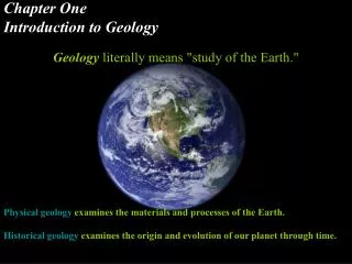
Geology Introduction to Lassen and Warner Valley. Webcourse Click through the presentation before the f ieldtrip to Warner Valley. As you may know, the Earth can be categorized into three layers: the crust, mantle , and core. crust. We live on the crust. mantle. core.

E N D
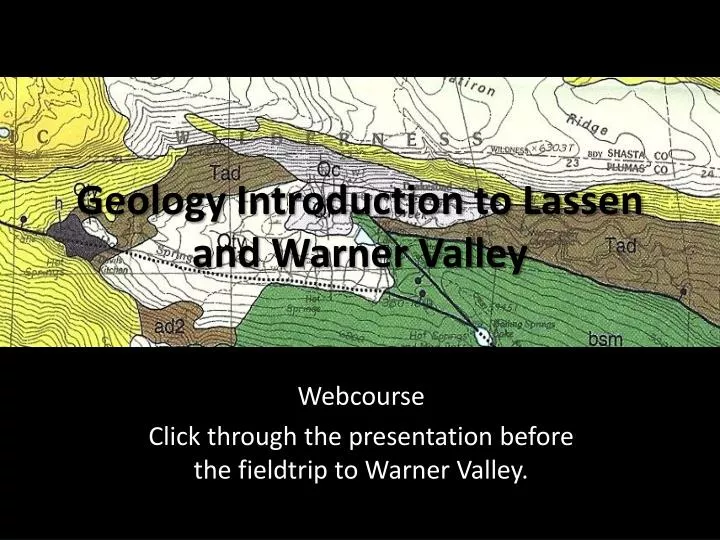
Geology Introduction to Lassen and Warner Valley Webcourse Click through the presentation before the fieldtrip to Warner Valley.
As you may know, the Earth can be categorized into three layers: the crust, mantle, and core. crust We live on the crust mantle core
The Earth’s crust is composed of tectonic plates that float on and move around relative to the underlying mantle. Press and Siever, 1998
Where plates collide, you have convergent boundaries Press and Siever, 1998
Where plates move apart, you have divergent boundaries Press and Siever, 1998
At each of these margins you get volcanism! Press and Siever, 1998
You can also get volcanism in the middle of plates… like in Hawaii.. but that is a story for another day. Press and Siever, 1998
We are going to focus on the volcanism that occurs at a convergent margin where an oceanic plate is subducting beneath a continental plate. Subductingmeans one plate is going underneath another, like right here Press and Siever, 1998
This type of volcanism is what formed the Cascade Mountain Range and the volcanoes at Lassen Volcanic National Park. Lassen is way down here!
Magma formation at subduction driven volcanoes looks something like this. modified from S. Rost, 2008
Lassen Volcanic National Park has several volcanoes, which include: Lassen Peak Chaos Crags
Estimation of Mt Tehama And the remains of ancient Mt. Tehama, Mount Tehama (Brokeoff Mountain) Mapview of caldera rim crater rim ‘caldera’ which erupted violently approximately 350,000 years ago, leaving only a collapse crater.
Today, Lassen exhibits another feature of volcanic regions: an active hydrothermal system. Hotspring at Devil’s Kitchen Bumpass Hell hydrothermal area Little Hot Spring Creek Sulphur Works Hot Springs Devil’s Kitchen hydrothermal area is this way
The hydrothermal system is visible on the surface in the form of hot springs and fumaroles Fumarole: vent thru which hot gases escape Hot spring: area where hot water emerges from the Earth
Hydrothermal systems form in parts of the Earth’s crust where there is water and heat. water precipitation (rain, snow) Springs, fumaroles streams groundwater magmatic heat heat magma
At Lassen, the heat comes from the magma stored deep beneath the volcano, water precipitation (rain, snow) Springs, fumaroles streams groundwater magmatic heat heat magma
and the water comes from rain and snowmelt that infiltrates into the soil and underlying crust. water precipitation (rain, snow) Springs, fumaroles streams groundwater magmatic heat heat magma
In addition to picking up heat, the circulating groundwater picks up volcanic volatiles that have escaped the magma. water precipitation (rain, snow) Springs, fumaroles streams magmatic heat & Hydrothermal Circulation volatiles: groundwater H2O, CO2,HCl, H2S magma degassing volatiles heat magma
This volatile-rich water reacts with crustal rocks as it rises to the surface in the hydrothermal circulation zone. Fe Si Fe Si Fe Si Fe acidic water
The chemical and physical properties of the heated water and volcanic volatiles results in the hydrothermal features we see around Lassen.
Hydrothermal areas are located in three main areas: Inside the ancient caldera Warner Valley South of the park
In the Lassen Astrobiology Intern Program, we’re going to be working in Warner Valley. Warner Valley
View of Warner Valley to the southeast from above Lassen Peak. Lake Almanor Warner Valley
Map-view of Warner Valley Lassen Peak Warner Valley Bumpass Hell
And although it is not clear from satellite imagery, when we overlay a geologic map… Warner Valley
we can see what rock is exposed on the Earth’s surface in this area. Warner Valley
We can see that Lassen and Warner Valley are composed of different geologic units. Each of these colors represents a different unit Warner Valley
Each of these geologic units are composed of a rock of a particular relative age and chemical composition. Each of these colors represents a different unit Warner Valley
Around Warner Valley, there are a variety of volcanic rocks and glacial sediments. Dacite (Bench Lake) Andesites (Dittmar Volcanic Ctr.) Dacite (Bumpass Mtn.) glacial till Dacite (Flatiron Ridge) Dacite (Panther Creek) Basalt/Basaltic Andesites (Sifford Mtn.) Andesites (Dittmar Volcanic Ctr.) Warner Valley field area
The names dacite, andesite, and basalt, describe volcanic rocks of a particular chemical composition and grain size. Dacite (Bench Lake) Andesites (Dittmar Volcanic Ctr.) Dacite (Bumpass Mtn.) glacial till Dacite (Flatiron Ridge) Dacite (Panther Creek) Basalt/Basaltic Andesites (Sifford Mtn.) Andesites (Dittmar Volcanic Ctr.) Warner Valley field area
The white ‘glacial till’ units indicate areas filled with sediment deposited by glaciers. Dacite (Bench Lake) Andesites (Dittmar Volcanic Ctr.) Dacite (Bumpass Mtn.) glacial till Dacite (Flatiron Ridge) Dacite (Panther Creek) Basalt/Basaltic Andesites (Sifford Mtn.) Andesites (Dittmar Volcanic Ctr.) Warner Valley field area
We will be visiting several sites in Warner Valley on our fieldtrip. Warner Valley Campground Devil’s Kitchen Springs
This map tells us more than just rock type, it also indicates: elevation topography hot springs creeks faults
We will be using this type of map in the field to locate where we are and determine additional information about our fieldsites, utilizing work done by scientists before us.
Now for a few Questions: • Can you locate the Warner Valley Campground, Drakesbad, and Devil’s Kitchen on Google Maps? • In what geologic units are our fieldsites? • *Bonus* What geologic units might exist beneath the surface deposits at our fieldsites in Warner Valley?