Download
1 / 16
170 likes | 344 Views
Modflow Simulation on Savannah River. GIS For Water Resources Term Project (CE 394). Seyoum Asemenaw. ModFlow. Defn:- Modflow is a 3-D finite difference GW flow model that solves the continuity equation (Mod flow 2000). Various mod flow packages:- BCF6 -- Block-Centered Flow Package

E N D
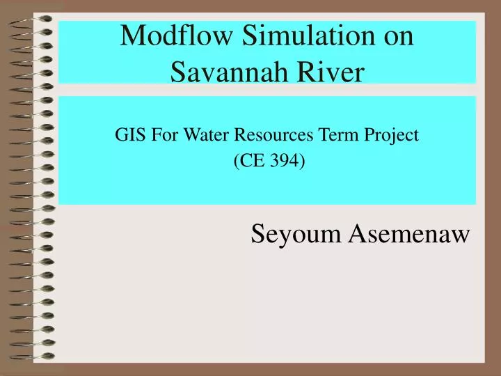
Modflow Simulation on Savannah River GIS For Water Resources Term Project (CE 394) Seyoum Asemenaw
ModFlow Defn:- Modflow is a 3-D finite difference GW flow model that solves the continuity equation (Mod flow 2000). Various mod flow packages:- • BCF6 -- Block-Centered Flow Package • LPF1 -- Layer-Property Flow Package • RIV6 -- River Package • DRN6 -- Drain Package • WEL6 -- Well Package • GHB6 -- General Head Boundary Package • RCH6 -- Recharge Package • EVT6 -- Evapotranspiration Package • CHD6 -- Time-Variant Specified-Head Package • HFB6 -- Horizontal Flow Barrier Package • SIP5 -- Strongly Implicit Procedure Package
Term Project Goals The major objectives are:- • To build a modflow interface geodatabase schema • To show the relationships between various feature classes • To show a time series analysis using Modpath ModPath:-calculate streamlines and travel times along streamlines within the ModFlow daomain. Data sources: • Savannah River Authority • USGS website • CRWR
Fishnet in Workstation Arc/Info Building Fishnet The fishnet prompts are: - Arc: generate f2 Generate: fishnet Origin Coordinate (x, y):437005,3681499 m Y-Axis coordinate (x,y) : 437005,3682990 m Cell Size (width, Height)91.44,91.44 m Number of Rows, columns: 15,22 Generate: quit Polygon construction Arc: build f2 Generate :quit
Modflow Interface Data Model (Developed by Gil Strassberg)
ModFlow Special thanks to:- • Gil Strassberg • Dr. David Maidment • CRWR crew