Download
1 / 25
250 likes | 360 Views
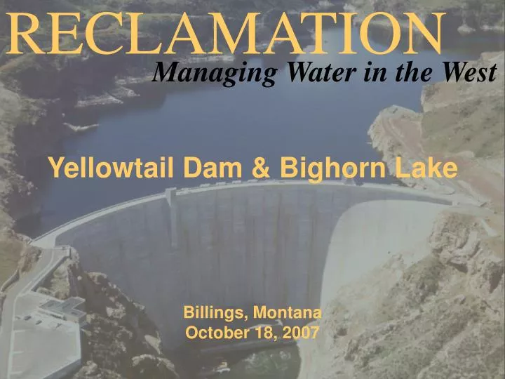
RECLAMATION. Managing Water in the West. Yellowtail Dam & Bighorn Lake Billings, Montana October 18, 2007. Bighorn Lake and River Basin Investigations. Possible Flood Storage Reallocation Bighorn River Basin Changes (Depletion Study). Flood Control Storage Reallocation.

E N D
RECLAMATION Managing Water in the West Yellowtail Dam & Bighorn Lake Billings, Montana October 18, 2007
Bighorn Lake and River Basin Investigations • Possible Flood Storage Reallocation • Bighorn River Basin Changes (Depletion Study)
BIGHORN LAKE STORAGE ALLOCATIONS Dam Crest Elev. 3660.0 3657 (1,328,360 AF) Surcharge (52,829 af) Exclusive Flood Control - 258,331 Acre - Feet 3640 (1,070,029 Acre - Feet) Joint Use - 240,342 Acre - Feet 3614 (829,687 Acre - Feet) Active Conservation - 336,103 Acre - Feet Top of Conservation Elev. 3547.00 (493,584 Acre - Feet) Inactive Conservation - 477,576 Acre - Feet Top of Dead Elev. 3296.50 (16,008 Acre - Feet) Dead - 16,008 Acre - Feet
Scenarios Modeled & Reviewed • Normal Full Pool Elev. 3640, Current Flood Control Storage Allocation • Normal Full Pool Elev 3645, Modified Flood Control Storage Allocation with top of Joint Use raised 5 ft
BIGHORN LAKE STORAGE ALLOCATION Dam Crest Elev. 3660.0 3657 (1,328,360 AF) Surcharge (52,829 af) Exclusive Flood Control - 258,331 Acre - Feet 3640 (1,070,029 Acre - Feet) Joint Use - 240,342 Acre - Feet 3614 (829,687 Acre - Feet) Active Conservation - 336,103 Acre - Feet Top of Conservation Elev. 3547.00 (493,584 Acre - Feet) Inactive Conservation - 477,576 Acre - Feet Top of Dead Elev. 3296.50 (16,008 Acre - Feet) Dead - 16,008 Acre - Feet
PROPOSED STORAGE REALLOCATION Dam Crest Elev. 3660.0 3657 (1,328,360 AF Surcharge Exclusive Flood Control - 190,846 Acre - Feet 3645 (1,1370,514 Acre - Feet) Joint Use - 307,827 Acre - Feet 3614(829,687 Acre - Feet) Active Conservation - 336,103 Acre - Feet Top of Inactive Conservation Elev. 3547.00 (493,584 Acre - Feet) Inactive Conservation - 477,576 Acre - Feet Top of Dead Elev. 3296.50 (16,008 Acre - Feet) Dead - 16,008 Acre - Feet
Current Joint Use Pool 240,342 Elevation 3614-3640 Exclusive Flood Pool 258,331 acre-feet Elevation 3640-3657 Conservation Pool 567,445 acre-feet Elevation 3547-3640 Reallocation Joint Use Pool 307,827 acre-feet Elevation 3614-3645 Exclusive Flood Pool 190,846 acre-feet Elevation 3645-3657 Conservation Pool 643,930 acre-feet Elevation 3547-3645 Possible Flood Storage Reallocation Total Flood Control Storage Space 498,673 acre-feet Elev. 3614-3657
Flood Control Impacts • Not Addressed • To Be Determined by Corps of Engineers
Bighorn Lake Average InflowPre-Drought Flows vs. Drought Flows
Bighorn River Investigations • Bighorn Lake Flood Pool Reallocation • Raise Joint Use Pool 5 feet • Bighorn River Basin Depletion Study • New Irrigation or other Development • New Reservoir Storage • New well Development • Changes in Land Management Practices • Changes in Forest Management