Download
1 / 20
260 likes | 763 Views
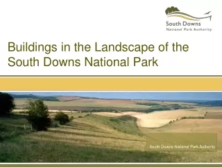
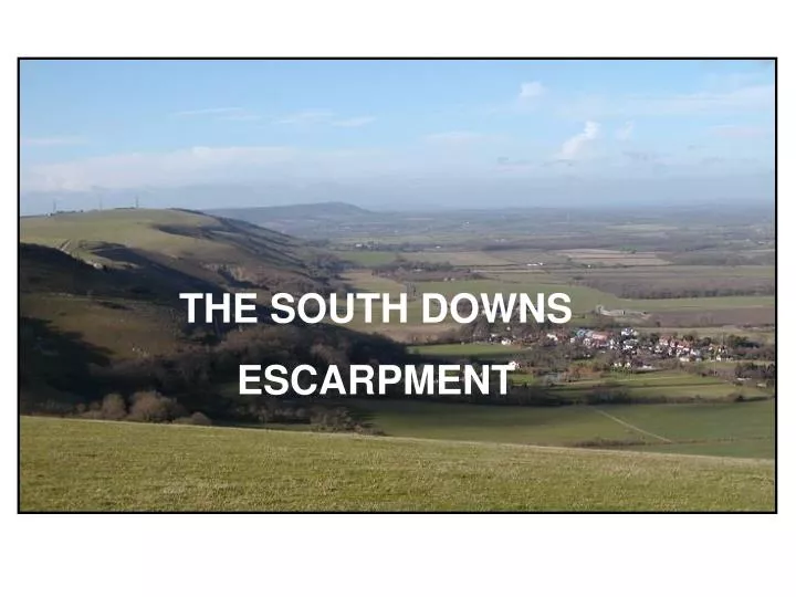
THE SOUTH DOWNS ESCARPMENT. Where is the South Downs Escarpment?. Map copyright Ordnance Survey. The area referred to in this presentation is here. Physical Features on O.S. Map. Clay Vale. Springs. Scarp slope. Dip slope. Escarpment. Dry Valleys. Map copyright Ordnance Survey.

E N D
THE SOUTH DOWNS ESCARPMENT
Where is the South Downs Escarpment? Map copyright Ordnance Survey The area referred to in this presentation is here
Physical Features on O.S. Map Clay Vale Springs Scarp slope Dip slope Escarpment Dry Valleys Map copyright Ordnance Survey
The next slide is taken from here.. Looking west along the scarp slope Map copyright Ordnance Survey
Physical features…. name them 5 River Gap 2 Escarpment Dip Slope 4 1. 3 Vale Scarp Slope 6 Spring Line 6
Block diagram…physical features River gap Dip Slope Spring line Escarpment Vale Scarp slope Porous chalk Impermeable clay
A Closer Look at the Vale….. • Look at the photo and describe the relief • What rock underlies the vale? first on the photo
…and then on the map • look at the contours and • describe the relief • remember to refer to • altitude and gradient • is surface drainage • present or absent? Why? Map copyright Ordnance Survey • what is happening here? ..and here?
A Closer Look at the Escarpment • How do the scarp and dip slopes differ? • What rock underlies the escarpment? first on the photo
…and then on the map • The Scarp Slope • Look at the contours and describe the relief • The Dip Slope • Look at the contours and describe the relief • Is surface drainage present or absent? Why?
Another feature of the escarpment… Is photographed from here Map copyright Ordnance Survey
What is this feature? When and how were features like this created? ‘V’ shaped profile ..but no evidence of a stream It’s the dry valley called Devil’s Dyke
How has this landscape influenced Human Geography? Farming Recreation Communications Settlement
Prehistoric and Ancient Settlement Why would settlement have avoided the vale at that time? Where was it located and why? Map copyright Ordnance Survey
Modern Settlement Where is it located and why? Map copyright Ordnance Survey
Farming intensive or extensive? arable or pastoral? vale escarpment
Communications • Explain the routes of : • the minor road network and • the South Downs Way Map copyright Ordnance Survey
Recreation What evidence is there of recreational land use on the map? Map copyright Ordnance Survey
Now remember! Gap Escarpment Chalk Vale Dip slope Modern settlement Scarp slope Spring line Clay Prehistoric settlement


![The “ pitch ” [Russin & Downs]](https://cdn4.slideserve.com/8728566/the-pitch-russin-downs-dt.jpg)