Download
1 / 20
200 likes | 308 Views
Flash Flooding Across the Southern Appalachians: An Abbreviated Climatology with Forecasting Methods and Techniques. Anthony D. Phillips, David A. Call, and Jill S. M. Coleman Department of Geography Ball State University. Research Focus.

E N D
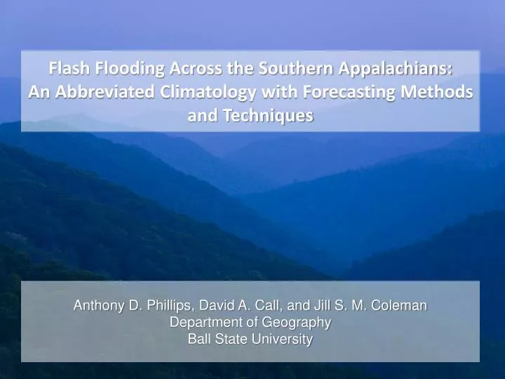
Flash Flooding Across the Southern Appalachians: An Abbreviated Climatology with Forecasting Methods and Techniques Anthony D. Phillips, David A. Call, and Jill S. M. Coleman Department of Geography Ball State University
Research Focus • Analyze the spatial and temporal extent of flash floods across the southern Appalachian Mountains • Create a hydroclimatology using credible reports • Examine the influences of regional topography and environmental characteristics (soil type, land use, etc) on the spatial distribution of flash floods • Gather information on the synoptic and mesoscale environments conducive to flash flooding across the region
The Flash Flood Threat • Residents of the southern mountains are at greater risk due to: • Steep, complex terrain • Rapid accumulation of precipitation • Competition with mountain streams for roads, bridges, housing, etc. • Mountaintop removal
Study Area: Southern Appalachians • Previous hydroclimatological research has been limited to individual NWS WFOs (Gaffin and Hotz, 2000; Stonefield and Jackson, 2009). • Thorough, regional analysis will provide a better understanding of the extent of flash floods • Southern Appalachian Mountains: • Mountainous areas south of Mason-Dixon Line (~39.7° N) • Locations within the USGS Appalachian Highlands physiographic division; namely the Appalachian Plateau, Valley and Ridge, and Blue Ridge provinces
Data and Analysis • Data obtained from the National Climatic Data Center • Storm Data from 1950 to 2010 • Focuses on events after the Modernization and Restructuring (MAR) of the NWS in the mid-1990’s • Storm reports and verification • Abbreviated climatology: January 1, 1996 to December 31, 2010 • Storm Data reports listed as either “flash flood” or “flash flooding” • Multiple events with similar/exact dates and locations were consolidated into a single event
Results: Event Frequency July 2007 July 2003 • Frequency of events per year • Noticeable variations, especially between drought (’99, ‘07) and non-drought years (‘03)
Results: Event Frequency • Number of events that occurred during each month • Frequency of events increases dramatically starting in May • Substantial decrease in October
Results: Event Frequency • Events per time of day divided into 3-hr increments • Number of events increases during afternoon/early night hours
Upcoming Research • Future research will include examining the synoptic and mesoscale environments favorable for flash flood events across the southern Appalachians • Forecasting methods specific to the region • Additional spatial statistics such as average nearest neighbor and Geographically Weighted Regression • Geographically Weighted Regression (GWR) will examine the relationships between prior flash flood events and other environmental characteristics across the region • Expansion of the study area to include the eastern United States
Summary • 4,938 unique flash flood reports from 1996 to 2010 • 71 fatalities and 64 injuries • As expected, greater number of events during warm season months and during afternoon/overnight hours • Higher fatality rates in regions with higher mean percent slope • Future work will include: • Additional statistical tests • Flash flood forecasting techniques • Results will assist meteorologists and hydrologists in forecasting flash flood events For more information: Anthony Phillips http://www.wx4sno.com wx4sno@vt.edu