Download
1 / 4
50 likes | 274 Views
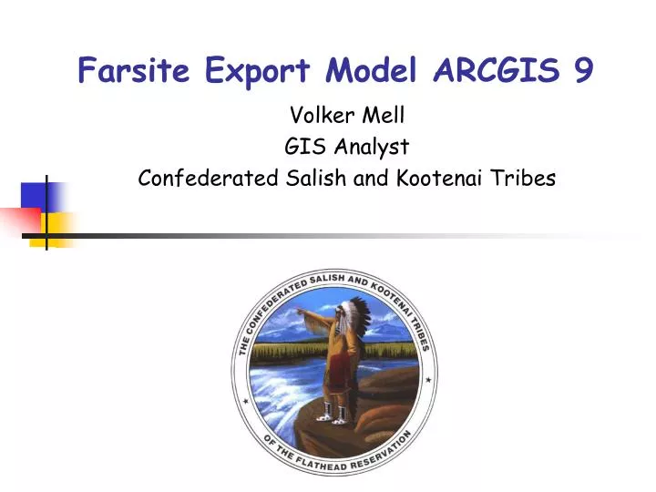
Farsite Export Model ARCGIS 9 . Volker Mell GIS Analyst Confederated Salish and Kootenai Tribes. The FARSITE Model. FARSITE is a fire growth simulation model It uses spatial information on topography and fuels Along with weather and wind files

E N D
Farsite Export Model ARCGIS 9 Volker Mell GIS Analyst Confederated Salish and Kootenai Tribes
The FARSITE Model • FARSITE is a fire growth simulation model • It uses spatial information on topography and fuels • Along with weather and wind files • It is widely used (USDA, USFS, etc.) to simulate the spread of wildfires • Regular GIS files (vector or raster) are not readily useable in FARSITE
FARSITE Landscape file • The FARSITE Landscape file combines several layers • Most of the layers have to be in ASCII format Can be derived from DEM file Can be derived from DEM file Can be derived from DEM file Can be derived from Firemon / Landfire? Can be derived from USFS Region 1 Vegetation Mapping project
The Model This part can be repeated for: Fuel Model, Stand Height and crown parameters