Download
1 / 22
220 likes | 222 Views
Norway Digital is the national initiative to build a comprehensive Spatial Data Infrastructure (SDI) in Norway. This infrastructure includes operational web map services, a geoportal (Geonorge.no), and other services. All public entities are members of Norway Digital, providing access to free data. The initiative complies with both national and European SDI regulations, including the INSPIRE directive. Challenges include the need to offer more downloadable data through Geonorge.no and improve information availability in English.

E N D
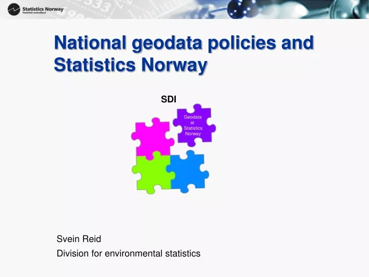
SDI Geodata at Statistics Norway National geodatapolicies and Statistics Norway Svein Reid Division for environmental statistics
Statistics Norway (SN) and Geodata-part of a broader Spatial DataInfrastructure (SDI) Statistics Norway
Statistics Norway (SN) and Geodata-part of a broader Spatial DataInfrastructure (SDI) National SDI Geonorge/ Norge Digitalt Statistics Norway Geonorge
Statistics Norway (SN) and Geodata-part of a broader Spatial DataInfrastructure (SDI) National SDI Geonorge/ Norge Digitalt Statistics Norway European SDI INSPIRE Geonorge INSPIRE
Statistics Norway (SN) and Geodata-part of a broader Spatial DataInfrastructure (SDI) • Statistics Norway comply to rules and regulationsofourNational SDI • …whichcomply to theEuropean SDI
Norway Digital / Geonorge.no Norway Digital 2005, the Norwegian government'sinitiative to build a national SDI • since 2005 a working co-operation and infrastructurewithreference data and thematic data available, operational web map services, geoportal (Geonorge.no) and other services • an existingimplementationoftheinfrastructuredescribed by the European Inspire-directive.
Norway Digital / Geonorge.no ALL publicentitiesaremembersof Norway Digital • Municipalities,Counties, publicinstitutions: Statistics Norway, National Mappingauthority, road, rail, etc.. • Secretariat : Norwegian Mappingauthority • Membershipfee to be part of Norway Digital, butmembershipgivesaccess to everybodyelses data freeof charge • Norway Digital cansell data to private companies, financingitsoperations, or returningfunds to itsmembers
National Spatial Data Infrastructure (NSDI) – Norway DigitalGeonorge.no
National Spatial Data Infrastructure (NSDI) – Norway DigitalGeonorge.no Metadata + links to datasets Metadata + links to datasets Metadata + links to datasets Metadata + links to datasets Metadata + links to datasets Norwegian Mapping Authority Statistics Norway Other national and regional authorities Norwegian Public Roads Administration Norwegian Municipalities
Data flow : general Geodata National Spatial Data Infrastructure (NSDI) – Norway DigitalGeonorge.no Metadata + links to datasets Metadata + links to datasets Metadata + links to datasets Metadata + links to datasets Metadata + links to datasets Norwegian Mapping Authority Statistics Norway Other national and regional authorities Norwegian Public Roads Administration Norwegian Municipalities Geodata resides with owner, flows between each institution
Data flow : Nationally prioritized Geodata (DOK) National Spatial Data Infrastructure (NSDI) – Norway DigitalGeonorge.no Data + Metadata + links to datasets Data + Metadata + links to datasets Data + Metadata + links to datasets Data + Metadata + links to datasets Data + Metadata + links to datasets Norwegian Mapping Authority Statistics Norway Other national and regional authorities Norwegian Public Roads Administration Norwegian Municipalities Geodata delivered to Geonorge.no, flows from Geodata.no to downloader
Download options : from Geonorge, from data owner, not available
Challenges • NorgeDigitaltwish to be able to offer more ofour data for download, through Geonorge.no • Pros : compliantfileformats (GML, SOSI) • Pros: Tablejoining service in Geonorge.no for all our grid statistics • Cons : Loss ofcontrol, with «in house solution» wepublishwhenwewish or need to Probable withcontinued mix… • Geonorge.no (thenationalGeoportal) is very Norwegian. Information in English basically non-existent. • Can not referinternationalusers to Geonorge.no