Download
1 / 26
260 likes | 383 Views
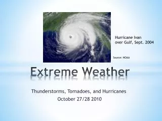
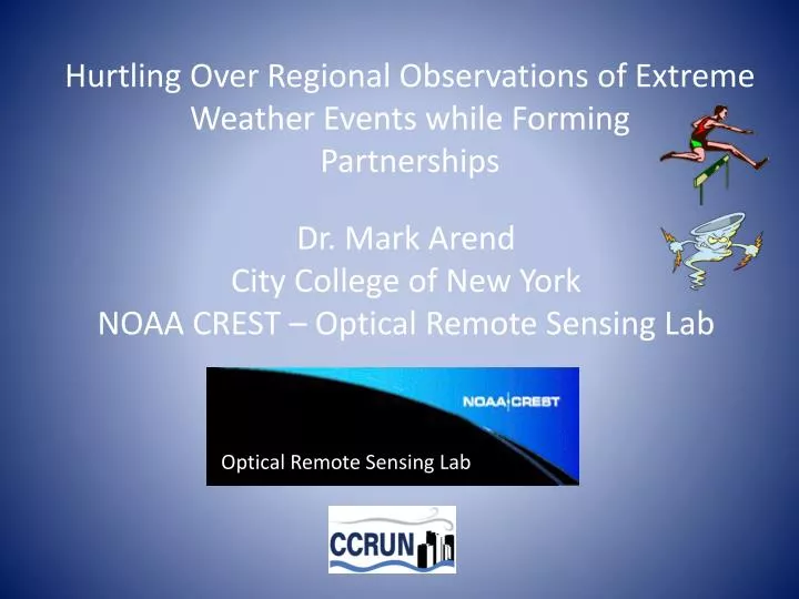
Hurtling Over Regional Observations of Extreme Weather Events while Forming Partnerships. Dr. Mark Arend City College of New York NOAA CREST – Optical Remote Sensing Lab. Optical Remote Sensing Lab.

E N D
Hurtling Over Regional Observations of Extreme Weather Events while FormingPartnerships Dr. Mark Arend City College of New York NOAA CREST – Optical Remote Sensing Lab Optical Remote Sensing Lab
“Hurtling Over Regional Observations of Extreme Weather Events while FormingPartnerships” • The meaning of this title and how it fits the theme of • the symposium • Chasing storms using ground based vertical profilers/surface station • Ingest and staying alive while doing it • The equipment doesn’t fall off tall buildings and could provide • information about equipment that threatens to fall • The information can be shared with partners in • a timely (real time) manner via a web portal and also be used for • reanalysis/hindecasting/validation of NWP models and other instruments
Collaborators and forming partnerships CREST Partners Miguel Lopez SamehAbdelazim Tom Legbandt Fred Moshary Barry Gross Sam Ahmed Jorge Gonzalez Estatio Gutiérrez CREST/CCRUN Partners Reza Khanbilvardi Maryam KarimiBrian VantHull CCRUN Partners - Columbia University (Health Team) Stevens Institute of Technology (Alan Blumberg, Philip Orton, Talmor Meir, Julie Pullen) Agency Partners NOAA DHS EPA NRL (COAMPS) CUNY IHPCC UAOA Urban Atmosphere Ocean Observatory
NYCMetNet Vertical Profilers and Surface Stations None of the CCNY Operated Rooftop Equipment was Compromised by SANDY/IRENE Info available on http://nycmetnet.ccny.cuny.edu/ a d e b f c d) Backscatter aerosol Lidar e) Building top Met Tower f) Sodar to 400 m • Hyper spectral radiometer • Sodar to 300 m • Radar Wind Proifiler to 2 km
NYC MetNet Web site http://nycmetnet.ccny.cuny.edu
Focus on extreme event case studies Summer Heat Waves Hurricanes Sandy and Irene
The Perfect Storm for Bad Air Quality During Hot Summer Days Meteorological Conditions Planetary Boundary Layer Societal Reaction Indoor Air Cooling Upper Level Ridge Sinking air masses High Pressure No Clouds Higher temperatures “Mixed layer” does not mix much (low to ground level) Peak Energy Demands Require More Fossil Fuel Burning
Heat Wave Event June 8, 9 and10 of 2011 Central Park Temperatures (degrees F)
Air temperature measurements (from NYCMetNet) at 1:15 AM during a recent heat wave. The 240 weather stations demonstrate how some neighborhoods around New York City were as much as 15 degrees warmer than rural areas.
June.8 EST10 meter air temperatures 11:00 14:00 17:00 20:00 23:00 1 km COAMPS Obs 12 km NAM
CCNY 0.33 km grid spacing uWRF compared against krigedNYCMetNet observations Surface temperature distribution (left) and differences between modeling and observation (right) at 1500 LST July 6th during the heat wave event that took place July 5th-7th, 2010 in NYC Metro Area. The small errors between model and observations in mid and downtown areas represent a significant improvement over existing modeling capabilities.
CCNY/uWRF Hurricane Sandy path, wind speed (MPH) and 6-hr accumulated precipitation (mm). 24 hr spin-off, 72 hrs forecasting. NAM input, 10hrs of simulation. Improved surface drag/turbulence due to better representation of land and associated dynamics.
NYCMetNet instruments on top of Midtown Manhattan 58 story Building Sonic Anemometer 250 m above ground level SODAR
Dangling Crane Top of a skyscraper at 157 W. 57th St. in Manhattan.
View of Crane 13 blocks North of Metlife building (246 m high)
One minute averaged rooftop wind speed 250 m above ground level Crane collapses at this time (2:30 PM October 29th)
NYCMetNet Screen Shot 6:32 PM October 29th The power goes out shortly after taking this last screen shot
Peak record sustained wind (1/2 hr average) using ground based remote sensing Speed: 125 mi/hr Time and date: 3:30 PM Oct 29 Height: 1.65 km above ground level Instrument: Radar Wind Profiler Location: Liberty Science Center, Jersey City Statue of Liberty
Hurricane Sandy Wind Barbs Measured by NYCMetNet Radar Wind Profiler, Jersey City, NJ (Oct. 29, 2012) North 7 6 5 Height above ground level (thousands of feet) 4 3 2 1 Time of day (EDT) 6:00 PM 9:00 PM Max Speed: 125 mi/hr 3:30 PM Oct 29 Height: 1.65 km AGL
Vertical Wind Profiler Observation of Hurricane Irene sustained horizontal winds (averaged over ½ hour period) were 71.7 knots (82.5 miles per hour) at 1,800 meters above the surface
Comparison of two lidar systems developed at CCNY Detection, control, data storage equipment Telescope, laser, optics Scanning mirror
Comparing Two Wind Lidar Signal Processing Techniques Technique 1: Acquire a time series of the return signal for each pulse Separate return signal in to intervals Perform a FFT on each interval Take square modulus of FFT Accumulate result from many pulses to improve SNR Technique 2: (use the Wierner-Khinchin theorem) The Fourier transform of the autocorrelation is equal to the power spectrum Acquire a time series of the return signal for each pulse Manage data flow by demodulating, filtering and downsampling Produce an M-lag autocorrelation matrix Accumulate matrix from many pulses to improve SNR
Comparing Lidar vertical profiles (Direct/Coherent) and Comparing Signal Processing (AC/FFT) Key Points • Consistent boundary Layer growth • Aerosol concentrations track • AM turbulent activity agreement • Advanced post processing possible • Potential application to combine • vertical velocity profile with • radiometer water vapor profiles • to calculate covariance • profile and obtain latent heat • flux vertical profile • (extension of eddy covariance technique)
Conclusion • Case studies of observed heat waves and hurricanes have been presented • Current capacity of a research grade Urban Observatory composed of multiple • Instruments is highlighted and examples of instrument inter-comparisons are given • Partnerships are being developed to extend the Observatory to integrate • both monitoring and modeling of the regional (NY/NJ) atmospheric boundary layer • Chasing storms is fun but make sure you run the right way at the right time