Download
1 / 21
230 likes | 445 Views
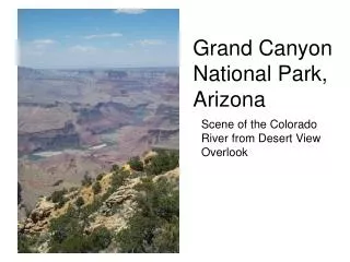
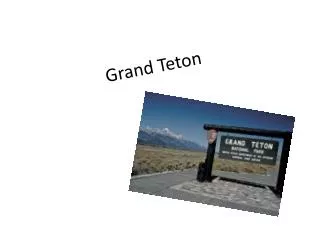
GRAND TETON NATIONAL PARK. The Killer Fault. Introduction. During the past 13 million years, the Teton mountain range has risen upward and the valley has dropped by about 23,000 feet.

E N D
Introduction During the past 13 million years, the Teton mountain range has risen upward and the valley has dropped by about 23,000 feet. Perhaps as many as 20 magnitude 7.3 quakes since the glaciers receded about 14,000 years ago have contributed to the changing topography of Teton.
The Teton Fault Topography
Jackson Lake Dam • The dam impounds irrigation water for agriculture downstream of the Snake River and also provides flood control. • The dam was upgraded in the late 1980s and is now believed to be able to withstand the “maximum credible earthquake”- a magnitude 7.5 quake.
Signal Mountain Part 1 • Panoramic views of Teton Range, Jackson Lake, Jackson Hole’s glaciated landscape, and the Snake River drainage can be seen. • The overlook where we stood would have been under more than 1000 feet of ice in the last glacial stage, which ended about 14000 years ago.
Signal Mountain Part 2 • The bumpy plains viewed from this spot are known as knob-and-kettle topography - small hills of glacial debris, plus ponds, or potholes left when the glaciers receded. • Also, a dozen small glaciers still persist on the tops of the the Tetons.
Mount Moran • The northernmost of the high peaks in the Teton Range, it reaches a height of 12,605 feet. • The peak is topped by a thin layer of rock called Flathead sandstone, formed when the area was once a seafloor.
Long Anticipated Arrival at… The Tram!!!
On the Way to Rendezvous Mountain
Cathedral: Scarp What is a Scarp? How are they created? Physical Description? Paleoseismology?