Download
1 / 27
270 likes | 317 Views
A detailed overview of the GIS-based modernization project for zoning maps in Elkhart County. Learn about project objectives, methodology, scripts used, and project outcomes including the Zoning Map Book.

E N D
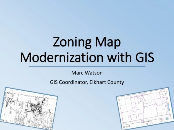
Zoning Map Modernization with GIS Marc Watson GIS Coordinator, Elkhart County
Agenda • Background • Project Objectives • Methodology • Workflow • Scripts • Project Products • Zoning Map Book • Zoning History • Wrap Up
Background – Old Maps • Original zoning maps adopted on 10/30/1959 • Letter size (8.5x11 inches) • 2291 rezoning petitions • 71% (1632) of which were approved • Official zoning maps large 24x36 inch sheets • Most 1:4800 (1” =400’) scale • Rezoning Petitions tracked on “Q-map” • Scanned in 2004 to create GIS layer
Background – Problems / Issues • Two zoning maps (GIS layer and Paper Maps) • Maintained by two different people • Lack of attributes • No indication of source ordinance for most zones • Questions about accuracy of maps • Both GIS layer and Paper Maps
Background - Project • Initiated to compliment Zoning Ordinance update • Verification milestone took 895 days to complete • Approximately 1061 man hours (7.37 months) • Usually 2-3 people working on different phases • Primary Project contributors • Liz Gunden • Tasha Dennis • Marc Watson • New maps derived from this project were officially adopted along with the ordinance update.
Project Objectives • Create a GIS zoning feature class • Complete zoning ordinance attributes for all features • Verify accuracy of zoning map • Standardize and reorganize folders • Create a new 11x17” paper map from GIS features • Publish zoning layer to public web map • Generate Zoning History
Methodology • Key Attributes • File ID • Status • District • Planed Unit Development (PUD) • Commitment • Final Action Date • Each folder was given a sticker to track workflow progress
Folder Organization • Old Method • Organized by Township and Petition’s Name • New Method • Organized by File ID, which is based on the Ordinance Number • Folders without an Ordinance (withdrawn, etc) were given a unique ID based on the final action date and a sequential number
Workflow – Three Phases • 1 – Data Entry • Completed by Planning Staff • 2 – GIS Phase • Completed by GIS Staff only • 3 - Relabel and reorganize folders • Completed by Planning Staff
Phase 1 – Data Entry • Access Database used to capture attributes • Created Form to control entry of data • Allowed some fields to auto populate • Kept track of sequential numbers for W and GIS File IDs • Generated new folder labels • Access Database allowed non GIS staff to enter all attributes. • Planning staff filtered out non approved folder. • So GIS staff could focus on approved folder first.
Phase 2 – GIS Phase • Due to technical nature only one person work on this phase • Used stacked polygon feature class • Allowed capture of zoning history • Folders could be processed in any order. • Didn’t require editing of overlaps • Attributes pulled into GIS from Access Database using the File ID
Phase 3 – Relabel and Reorganize • Used Access Database to generate new labels • Reorganized by File ID (generally the Ordinance Number) and PUD Name • Straight rezoning were stored by File ID • Rezoning tied to a Planned Unit Development were stored with the other PUD documents
Scripts • Import Attributes from Access DB • Sort Stacked Polygons by date (newest on top) • Create a derivative feature class showing only the most current approved zone (no overlaps) • Read in directory of zoning documents and relate to zoning polygons • Create Zoning Map Book pages
Zoning DB Attribute Transfer • Use to compare or transfer values between the Access DB (DB) and Feature Class (FC) • Reads in File IDs from both DB and FC then looks for duplicates and missing ID in the sets. • Outputs a CSV file with File ID discrepancies and value differences
Zoning Sort • Inputs • Stacked zoning polygons • City boundaries • Derived Outputs • Spatially sorted stacked zoning polygons • Most recently approved zoning on top • Non overlapping zoning polygons • Aggregated zoning districts • District, PUD & Commitment must match to aggregate
Link Zoning Documents • Scans a folder of zoning documents • Appends new file paths to Table in File GDB and flags file paths that have been removed • Extracts the File ID from file name • FGDB Table is used in relationship class linked to Zoning polygons
Generate Zoning Map Book • Uses a derivative zoning feature class in which similar zones have been dissolved • Uses Data Driven Pages and two map documents to create facing pages • Appends all 256 pages together into a single PDF
Project Products – Map Book • Created an empty template in Word • Used Heading to Create Bookmarks • Generated Table of Contents Page • Exported to PDF • Used script to generate maps with alternating page number locations (for duplex printing) • Used Replace function in Adobe to replace empty map pages and preserve bookmarks
Project Products – Zoning History • Since we used stacked polygons we’re able to use the Time functions in ArcMap to visually review how zoning has changed over the last half century. • We can create reports of past zoning petitions • Can easily lookup zoning prior to annexation
Project Products – Miscellaneous • A complete zoning layer is published to our public web map • Our permitting software (EnerGov) can automatically pull in current zoning • Faster processing of approved rezoning ordinances • Single authoritative source for County zoning