Download
1 / 12
120 likes | 385 Views
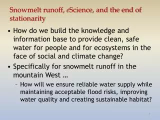
Snowmelt runoff, e Science , and the end of stationarity. How do we build the knowledge and information base to provide clean, safe water for people and for ecosystems in the face of social and climate change? Specifically for snowmelt runoff in the mountain West …

E N D
Snowmelt runoff, eScience, and the end of stationarity • How do we build the knowledge and information base to provide clean, safe water for people and for ecosystems in the face of social and climate change? • Specifically for snowmelt runoff in the mountain West … • How will we ensure reliable water supply while maintaining acceptable flood risks, improving water quality and creating sustainable habitat?
Less snow? Earlier melt? A changing western snowpack? Service, R. F., As the West goes dry, Science, 20 Feb 2004
100% Snow 100% Vegetation 100% Rock/Soil Pure endmembers,01 Apr 2005 MODIS image
Model structure for MODIS snow-covered area and albedo (38 images/day × 300 days)
Snow-covered area and albedo, 2004 Snow Covered Area Albedo
= X X [1– ]
Collect Store Present Analyze Search Retrieve The Data Author’s Perspective: from data creation to data curation • No “standard” environmental science computing environment • commercial packages (ArcGIS, IDL, MATLAB, …) • public packages/models (MM5, MODTRAN, …) • locally-developed codes (C, Fortran) • How do we get these programs to • communicate • cooperate • without rewriting? • And what about the Cloud? • “graduated outsourcing”
So what do I want so I can do better? • Easy integration and data quality checks for a variety of datasets • Surface measurements and remote sensing images • which are stored at different places in different formats • Easy integration of tools • SQL Server, MATLAB, IDL, my own low-level code, and even code for which I don’t have source • A Cloud that looks like my laptop/desktop • A good way to store/access/view multidimensional data (which are sometimes sparse) • A nice, geographic UI to get to the data • Ability to format output for a variety of analysis tools (e.g, GeoTIFF, OpenDAP)