Download
1 / 33
330 likes | 564 Views
Corridor Overlay Districts. Department of Planning & Community Development Neighborhood Planning & Urban Design Section www.sanantonio.gov/planning. Background Information. Corridor Districts were developed in response to COSA 1997 Master Plan policy statements:. Neighborhoods , 3c:2

E N D
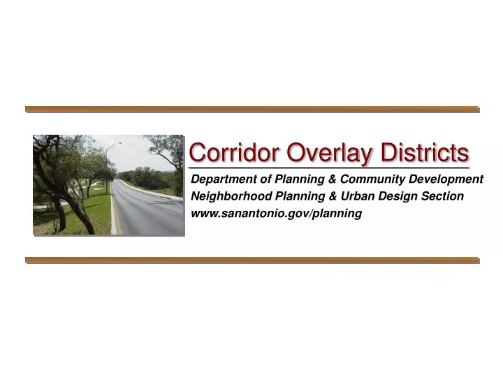
Corridor Overlay Districts Department of Planning & Community Development Neighborhood Planning & Urban Design Section www.sanantonio.gov/planning
Background Information Corridor Districts were developed in response to COSA 1997 Master Plan policy statements: • Neighborhoods, 3c:2 • Consider new approaches, including new ordinances and programs, to enhance the viability and attractiveness of neighborhoods • Review and strengthen the urban corridor regulations • Neighborhoods, 2b:1 • Amend the Unified Development Code to address neighborhood issues. • Establish Conservation District zoning
Program Purpose - I • Create a more attractive, cohesive, and safe environment, • Safeguard San Antonio’s heritage by preventing the despoliation of views, • Create favorable impressions of San Antonio, • Enhance San Antonio’s image as a progressive, scenic, and livable city, • Preserve, protect, and enhance areas of high tourist and visitor visibility,
Program Purpose - II • Enhance the appearance and economic viability of corridors within established neighborhoods, • Provide motorists and pedestrians with attractive viewing opportunities, • Reduce visual chaos and limit distractions along public roadways, • Stabilize and strengthen property values within the corridors, and • Protect capital investments in new roadways and infrastructure.
Types of Corridors • Gateway Corridor District: Promotes cohesive development along key entries to the City • Metropolitan Corridor District:Unifies development along major thoroughfares • Preservation Corridor District: Preserves natural areas or historic corridors • National Highway System High Priority Corridor District: Enhances the value of interstate highway corridors Enabling ordinances establish parameters for four types of corridors:
Adopted Corridors Gateway: GC-1: IH-10 West GC-2: HWY 151 Metropolitan: MC-1: Roosevelt Avenue Preservation: PC-1: Bulverde Road NHS High Priority: IH-1: IH-35 North
GC-1: IH-10 West • Adopted in 2003 • From UTSA Blvd to the northern City Limit • Extends 2000 feet from outer right-of-way • Front natural buffers, dark sky lighting, reduced sign height & area, masonry requirement, earthtone colors
GC-2: HWY 151 • Adopted in 2005 • From HWY 90 to Loop 1604 • Extends 2000 feet from outer right-of-way • Front natural buffers, dark sky lighting, reduced sign height & area, masonry requirement, earthtone colors, pedestrian circulation system
IH-1: IH-35 North • Adopted in 2004 • From Walzem Rd to the northern City Limit • Extends up to 2000 feet from outer right-of-way • Front natural buffers, dark sky lighting, reduced sign height & area, masonry requirement, window percentage, fenestration
MC-1: Roosevelt Avenue • Adopted 2009 • Lone Star Blvd. to Loop 410 • Extends 200 feet from outer right-of-way north of Military Dr; 300 feet south of Military Dr • Native plant requirement, dark sky lighting, reduced sign height & area, masonry requirement, pedestrian circulation system, screening
PC-1: Bulverde Road • Adopted 2010 • Loop 1604 to Evans Road • Extends 300 feet from outer right-of-way • Preserve all trees and understory within first 35 feet, require limestone/ sandstone accent for building exteriors, dark sky compliant lighting, masonry perimeter fencing for residential subdivisions
A Corridor Does… • Protect neighborhood/corridor integrity • Empower neighborhood/district property owners to define unique character and features • Promote compatible infill development • Allow a fair, objective review process • Provide a tool for proactive planning
A Corridor Does Not… • Enforce deed restrictions • Affect the underlying land use or zoning (e.g., R-6, C-3, I-1) • Require a property owner to rehabilitate an existing structure to conform to standards
Designation Process • Initiated by City Council via Resolution • Planning & Development Services Department conducts land use studies and public participation process • Design standards are developed through a consensus process with Planning Team • Public notification required by UDC §35-403
Planning Team Responsibilities • 7-8 biweekly Planning Team meetings • Attendance at 2-3 public meetings • Work with City staff to analyze existing conditions and develop site and building design standards • Advocate for COD at public hearings • Implementation
Designation Process • After public outreach process: • Ordinance is drafted, amending official zoning map with designated Overlay District boundaries • Interdepartmental Review • Zoning Commission recommendation • City Council adoption • Ordinance adoption timeline: 9-12 months, depending upon the complexity of the design/development standards
Overlay District Administration • Compliance is “reactive.” Applies only when applicant submits plans to the Planning & Development Services Department. • Intake personnel are required to identify whether a project is located in an overlay district, by means of GIS zoning verification.
Overlay District Administration • During intake, staff identify projects within the corridors by the zoning suffix. • Plans then are forwarded to the Urban Design Section for review and comment. Urban Design Staff must review plans for conformance with design standards within 10 working days.
Overlay District Administration • If plans are approved, a Certificate of Compliance is issued. • If denied, applicant may: • resubmit plans with appropriate changes, or • appeal the staff decision to the Board of Adjustment for a final determination.
Building Setbacks Minimum and/or maximum building setbacks determine where buildings are placed on a lot.
Building Setbacks Minimum and/or maximum building setbacks determine where buildings are placed on a lot.
Front Natural Bufferyards Landscaped bufferyards help maintain suburban or rural character.
Front Natural Bufferyards Landscaped bufferyards help maintain suburban or rural character.
Building Materials Building finishes add character and quality, especially when common elements are shared.
Building Materials Building finishes add character and quality, especially when common elements are shared.
Pedestrian Walkways Pedestrian circulation systems encourage walking by providing a safe and pleasant experience.
Pedestrian Walkways Pedestrian circulation systems encourage walking by providing a safe and pleasant experience.
Off-Street Parking Parking lot placement impacts building form and function; screening reduces visual impact.
Off-Street Parking Parking lot placement impacts building form and function; screening reduces visual impact.
Signage Smaller and less obtrusive signs reduce visual chaos often prevalent on commercial corridors.
Signage Smaller and less obtrusive signs reduce visual chaos often prevalent on commercial corridors.
Corridor Staff Michael Taylor Senior Planner 207-0145, Michael.Taylor@sanantonio.gov Tyler Sorrells Planner 207-7395, Tyler.Sorrells@sanantonio.gov Robert Acosta Planner 207-0157, Robert.Acosta@sanantonio.gov Corridor Overlay District Ordinances: http://www.sanantonio.gov/planning/neighborhoods/urbandesign.asp