Download
1 / 21
210 likes | 219 Views
Creating Futures Project. Develop and apply planning and communication tools to make informed choices for the future. Creating Futures. Govt funded - Foundation of Research, Science & Technology $1.6Million - Four Year Project (2006 to 2010) Environment Waikato - Lead Agency

E N D
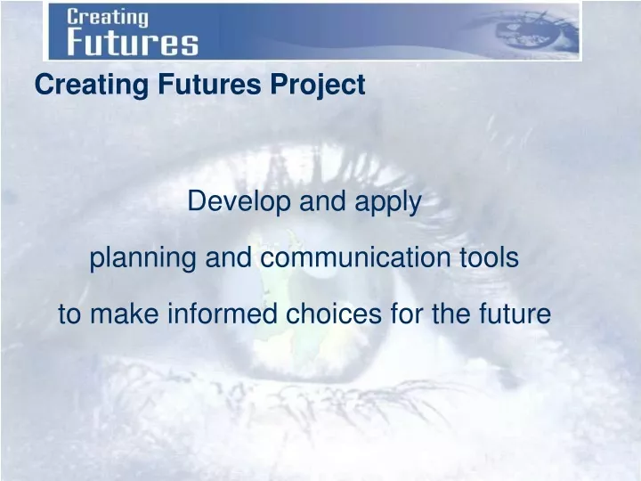
Creating Futures Project Develop and apply planning and communication tools to make informed choices for the future
Creating Futures • Govt funded - Foundation of Research, Science & Technology • $1.6Million - Four Year Project (2006 to 2010) • Environment Waikato - Lead Agency • Several Research Partners
Programme Leader Dr Beat Huser Science Leader Dr Daniel Rutledge Creating Futures Developing and applyingplanning tools to make informed choices for the future Dr Daniel Rutledge OBJECTIVE 2: Spatial decision support system development Dr Liz Wedderburn OBJECTIVE 1: Improved communication & deliberation tools, Scenarios
Objective 1Processes to evaluate, deliberate, and choose futures through scenario analysis and multi-criteria evaluation frameworks • Create scenarios based on trends and activities • Diagnose stakeholder interests and specify issues from scenarios • Analyse underlying system and identify indicators • Evaluate different scenarios based identified issues & indicators • Deliberate on information identified through evaluation • Revisit assumptions, indicators & issues as deliberation suggests
DeliberationMatrix Strategies / Scenarios Stakeholders Values / Indicators
unstructured problem weakly structuredproblem Uncertainty relative to theknowledge for solving the problem structured problem weakly structuredproblem Conflicting views on values, goals and measures relative to the solution of the problem Objective 2Development of Spatial Decision Support Systems to support long-term, integrated planning Why an SDSS? • Long-term integrated planning and resource management are examples of “wicked” or unstructured problems • Characterised by • Multiple actors • Multiple values & views • Multiple outcomes possible • High uncertainty After van Delden 2000 An SDSS helps address unstructured problems • Integrates society, economy, and environment (systems approach) • Identifies links & feedbacks • Sets limits explicitly (e.g., only so much land, water, soil) • Demonstrate importance of “where” in addition to “what” and “how much”
Example of Unstructured Problem:Waikato Region Community Outcomes • Sustainable Environment - The Waikato region values and protects its diverse, interconnected natural environments. • Quality of Life - The Waikato region is a great place to live, providing the services and opportunities we need to live well. • Sustainable Economy - The Waikato region balances a thriving economy with looking after its people, places and environment. • Culture & Identify - The Waikato region identifies with - and values - its land, air rivers and waterways, mountains, flora, fauna and its people. • Participation & Equity - The Waikato region builds strong informed communities and has a culture that encourages people and communities to play their part.
Waikato 2006 • Population: 387,700(StatsNZ June 06 est.) • Households: 145,100(StatsNZ June 06 est.) • Land Cover (LCDB 2) • Agriculture 55.2% • Natural 28.2% • Forestry 14.4% • Urban 1.1% • Other 1.0% • GDP: ~ $12 Billion(2003 GDP + 3% annual growth) • Ecological Footprint: ~9 ha • # Businesses: ~34,000
Waikato 2026? • Population: 426,800(+39,100, StatsNZ 2026 med. est.) • Households: 169,400(+24,300; StatsNZ June 06 est.) • Land Cover (LCDB 7) • Agriculture ? • Natural ? • Forestry ? • Urban ? • Other ~ ? • GDP: ~ $33 Billion(2003 GDP + 3% annual growth) • Ecological Footprint: ? • # Businesses: ~50,000+ ? ?
Stocks Flows Goods Labour Wastes Stewardship Services Resources SDSS: Systems Approach Society Economy Environment Systems models track stocks & flows over time
Stewardship Services Spatially-Explicit Multi-scale Goods Society Economy Labour Wastes Environment Resources
SDSS Operates at 3 Scales Local (200 x 200 m cells) Region District
NZ & World Climate Change ScenariosNIWA Region District Local Water QualityNIWA HydrologyNIWA Land UseRIKS/LCR/EW External DriversExternal Sources SUITABILITY DemographyUoW-PSC ZoningDistrict Councils ACCESSIBILITY LOCAL INFLUENCE INTEGRATION - LCR LEAD GEONAMICA - RIKS DairyingUoW-SM BiodiversityLCR Waikato Region Dynamic Economy-Environment ModelNZCEE Spatial Indicators Draft SDSS System Design
WRDEEM: Waikato Region DynamicEconomy-Environment Model • From ARDEEM - Auckland-based model developed under the Pathways to SustainabilityFRST Programme • Models flows of economic commodities • monetary ($NZ1998) • physical (tonnes) • natural resource inputs (e.g. land, energy, water) • residual outputs (e.g. wastes, pollutants and emissions). • Simulate combined environmental and economic implications of change between 1998 and 2051.[1] • Driven by economic growth scenarios Labour Force Module Growth Module Economic Module Economic Physical Flow Module Environment- Economy Physical Flow Module
Waikato SDSS Prototype • Developmentco-funded by Landcare Research • RIKS METRONAMICA model populated with Waikato data • Only models land use change • Demand for land use set explicitly
Land Use Abandoned Bare Ground Broad-Acre Forestry Infrastructure Mine Indigenous Vegetation Pastoral - Dairy Pastoral - Other Other Primary Residential Water Wetland Utilities Services Manufacturing Construction 3 Mock Scenarios for Waikato’s Future2001-2050 based on SDSS Prototype Dairy Expansion Land for dairying increases ~4% annually
Land Use Abandoned Bare Ground Broad-Acre Forestry Infrastructure Mine Indigenous Vegetation Pastoral - Dairy Pastoral - Other Other Primary Residential Water Wetland Utilities Services Manufacturing Construction 3 Mock Scenarios for Waikato’s Future2001-2050 based on SDSS Prototype Diversification Demand for non-dairy primary production land increases
Land Use Abandoned Bare Ground Broad-Acre Forestry Infrastructure Mine Indigenous Vegetation Pastoral - Dairy Pastoral - Other Other Primary Residential Water Wetland Utilities Services Manufacturing Construction 3 Mock Scenarios for Waikato’s Future2001-2050 based on SDSS Prototype Village Life Residential land increases 7-fold
Land Use Abandoned Bare Ground Broad-Acre Forestry Infrastructure Mine Indigenous Vegetation Pastoral - Dairy Pastoral - Other Other Primary Residential Water Wetland Utilities Services Manufacturing Construction 3 Mock Scenarios for Waikato’s Future2001-2050 based on SDSS Prototype Village Life Dairy Expansion Diversification Land for dairying increases ~4% annually Demand for non-dairy primaryproduction land increases Residential land increases 7-fold
What We Want to Achieve • Planning tools that inform communities • Tools expose links and trade-offs • Councils use these tools
Contacts • Dr Beat Huser, Environment Waikato • Project Leader • Beat.Huser@ew.govt.nz • Dr Daniel Rutledge, Landcare Research • Science Leader & Objective 2 Leader • rutledged@landcareresearch.co.nz • Dr Liz Wedderburn, AgResearch • Objective 1 Leader • liz.wedderburn@agresearch.co.nz