Download
1 / 80
800 likes | 1.04k Views
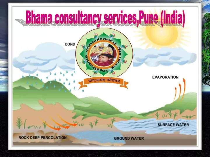
Bhama consultancy services,Pune (India). PROFILE. Integrated Water Resources Development & Management Water Supply Schemes Project Management Consultancy Technical Assistance Distribution Net –work for Irrigation Projects.

E N D
PROFILE • Integrated Water Resources Development & • Management • Water Supply Schemes • Project Management Consultancy • Technical Assistance • Distribution Net –work for Irrigation Projects
Integrated Water Resources Development & Management Go to s-8
Water Supply Schemes Axum Water Supply Schemes Ethiopia
Project Management Consultancy, Completion and Operation of Sangola Branch Canal
Project Management Consultancy World Bank Aided Hydrology Project-II Implementing AgenciesStates 1. Andhra Pradesh 2. Chhattisgarh 3. Goa 4. Gujarat 5. Himachal Pradesh 6. Kerala 7. Karnataka 8. Madhya Pradesh 9. Maharashtra10. Orissa11. Pondicherry12. Punjab13. Tamilnadu 5 5 12 8 10 4 2 Central Agencies 1. MoWR2. CWC3. IMD4. CPCB5. CGWB6. NIH7. CWPRS8. BBMB 1 7 3 13 5 11
Index Map • DISTRIBUTORY NO. 11 From Km 0.00 to Km 4.635 TAKING OFF @ Km 32.700 OF • GAURAVELLI RIGHT MAIN CANAL
What is Hydrology? It is the science which deals with occurrence ,movement and distribution of water upon ,over and beneath the earth surface .It is in the form of cycle and known as hydrological cycle S-8
PRECIPITATION It is the fall of water in various forms on the earth from the atmosphere. It is in the form of rain , snow, hail, and dew Air contains gases/such as Nitrogen, Hydrogen, Oxygen , Co2, and Water vapors
TYPES OF PRECIPITATION 1.Convective 2.Orograpic 3.Trough 4.Cyclonic
rain gauging Auto Recording Rain gauge Station Standard rain gauge station
Inflow The stage-discharge relation Current Meter The discharge measurement A Stream Gauging Stage Gauging Stage Discharge Curve Discharge inflow How Stream flow is Measured Measuring stream stage B Tank Table Data Inflow=Final storage – Initial storage + spills + withdrawals
Hydrological Analysis for different catchments in Bagh sub basin
Annual Interceptions in minor tanks, K.T. Weirs and Ex Malgujari Tanks
Water Supply Schemes Axum Water Supply Schemes Ethiopia
Gauged discharge data of Ayehida near Axum The discharge at 0.10 m is zero and therefore zero of gauge (Ho) is considered as 0.1 m. The stage discharge curve is developed as Q= K (H-Ho )n Where = Q = discharge in m3 /sec K = constant
Recommended R-R models for monthly and annual flow estimation
Summery of the estimated flow parameters at Maychew Dam site (Mm3)
Reservoir sedimentation Area Capacity Curve for Maychew Dam
Design Flood • The following standards are used for Design floods. • Indian Standards • Spillway Design:- SPF for dams having storage capacity up to 60 Mm3 or dam height up to 30m and PMF for dams having storage capacity more than 60mm3or dam height more than 30m • Coffer dam:- 5 years return flood or construction period whichever is higher. • ICE (Institute of Civil Engineers, GB) • Spillway design :- • Reservoir at full supply level and 10000 year return period or 0.5 PMF which ever is higher is impinging for standard condition where over topping is not permitted. • Reservoir at full supply level and 10000 year return period or 0.3 PMF whichever is higher for non standard condition where over topping is rarely permitted • Coffer dam • 20 years return period. • As per Indian standard the design flood shall be PMF that is 710.82 m3/s as dam height is more than 30m. The design flood shall be 508.62m3/s as it is more than half the PMF. However it is recommended that the design flood shall be considered as 710.82m3/s because: • It is the water supply project evolving high risk • There is no substantial difference between PMF and 10000 year return period flood • Being on safer side
Flood Routing for Maychew Dam Spillway length 85m,Return Period 10000& PMF years planning scenario 50 year and out flow rating curve
Spillway Analysis 50 year planning scenario 100 year planning scenario
comparison for various length of spillway for Maychew dam plannigsenario for 50 years and crest of dam/ FSL1685
comparison for various length of spillway for Maychew dam plannigsenario for 100 years and crest of dam/ FSL1689
Recommended Proposal • It is recommended that • Planning scenario as 100 years • Dead storage at RL 1682 m • Spill way length 40m with crest at RL 1689m in initial phase • Installation of 4m high gate over the crest in next phase • Demand drawls at RL 1676 and 1682m which will function as scour sluices also • River scour sluices at RL 1651 • Dam top RL 1695m • These parameters shall be used for designing the project.
Project Management Consultancy, Completion and Operation of Sangola Branch Canal
Special Problems in SBC Project The situation specific problems which compel the need for TAMC Services are as follows: a) Import and Use of Modern canal liningTechnology from USA for carrying out the canal liningunder water for the continuously flowing NRBC through out the year b) Restrictions on use of natural sand and its replacement by crushed sand including concrete mix designs c)Strong opposition from the farmers in existing established perennial irrigation belt under the pretext of adverse effects on their established economy as canal lining will reduce water supply to their established irrigation cropping pattern. This concerns vitally and needs intensified efforts in this regard, to make a dialogue with concerned farmersthrough frequent and consistent persuasion for eradicating the fear of concerned farmers, and d)Regular and frequent (at least bimonthly or quarterly) review meetings of all concerned participants and stake holders by competent catalyst Agency for proper coordination and monitoring in light of above (a),(b) & (c)
Flow Chart Start Literature Review Collection of data Compilation, analysis & Preparing monitoring network in consultation with MKVDC Presentation before Competent Authority Follow up and Feed back Yes No Is It Complete ? End
Annexure 1.2 Sangola Branch Canal ProjectFinancial Completion Programme as on March. 2012 (Rs. in crores)
In Place Lining Prototype Project Coachella Canal Imperial Country California