Download
1 / 15
150 likes | 157 Views
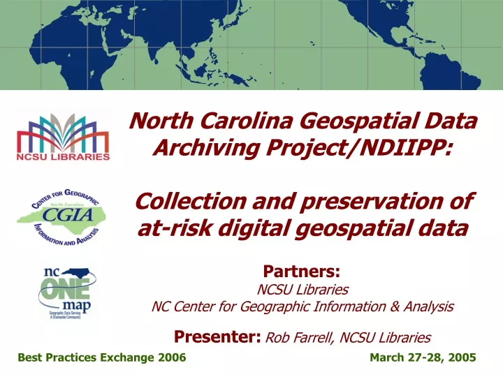
North Carolina Geospatial Data Archiving Project/NDIIPP: Collection and preservation of at-risk digital geospatial data Partners: NCSU Libraries NC Center for Geographic Information & Analysis Presenter: Rob Farrell, NCSU Libraries. Best Practices Exchange 2006. March 27-28, 2005.

E N D
North Carolina Geospatial Data Archiving Project/NDIIPP: Collection and preservation of at-risk digital geospatial data Partners:NCSU LibrariesNC Center for Geographic Information & AnalysisPresenter:Rob Farrell, NCSU Libraries Best Practices Exchange 2006 March 27-28, 2005
NCGDAP Ingest Workflow Overview • Project context • Compelling Issues and Guiding Principles • Workflow from receipt to ingest • Workflow focus: Digital format curatorship • Workflow focus: Geospatial metadata management
Project Context • NDIIPP: National Digital Information Infrastructure and Preservation Program, a Library of Congress collaboration • Focus on state and local geospatial content in North Carolina (statedemonstration) • Tied to NC OneMap initiative, which provides for seamless access to data, metadata, and inventory information
Project Context • GIS environments • Map viewers • Geospatial digital object formats • NCOneMap • Local portals
Geospatial Data: Compelling Issues • Dynamic content • Constantly updated information • Minimal versioning standards • Digital object complexity • Spatially enabled databases • Complicated, multi-component formats • Proprietary formats
NCGDAP Guiding Principles • Promoting the NSDI • Process integration • Outreach • Digital curatorship is part of the process • Format persistence • Incorporating reality • Custodianship of the archive • Someone has to be responsible • Success and failure
Workflow Overview Handout 1
Our Response • Raise metadata to minimum level • Normalize to a standard • Manage “expert” intervention • Carry forward original metadata record
Raise Metadata to Minimum Level(see handout) • Metadata template • Create template specific to data provider • Automate template application • Indicate our curatorship • Check for sufficiency of critical elements • Correct automation artifacts • Review contact information • Confirm data/metadata concurrency
Normalize to a Standard(see handout) • XML format • May involve format conversion • Standard format for project metadata • Specialized profile • Allows automation attributes • Aligns with international standards • ISO 19139 topic categories
Manage “Expert” Intervention(see handout) • Coordinate geospatial metadata management with: • Administrative metadata collection • Our own curatorship (see handout) • Archive metadata production • Logical workflows • Automation where possible
Questions? Contact: Rob Farrell Digital Library Initiatives NCSU Libraries Rob_Farrell@ncsu.edu