Download
1 / 64
640 likes | 778 Views
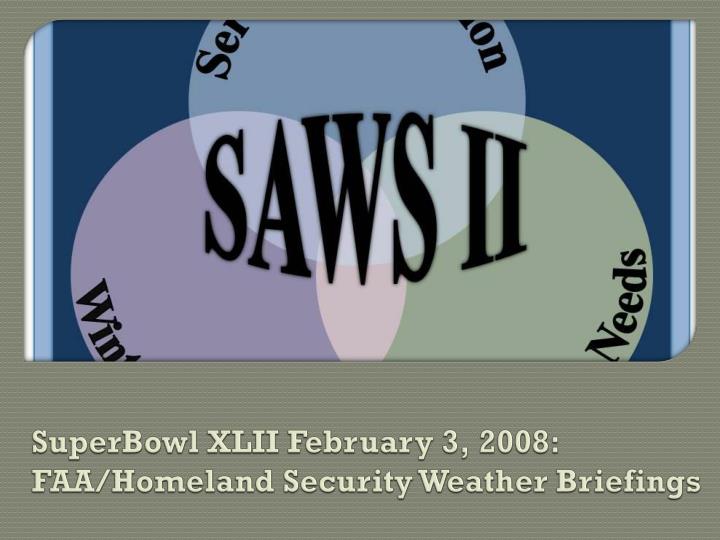
SuperBowl XLII February 3, 2008: FAA/Homeland Security Weather Briefings. Many thanks to…!. You Make the Call!: (Leslie Wanek and David Brown) x3! …Jaret Rogers and SPC’s David Bright

E N D
SuperBowl XLII February 3, 2008: FAA/Homeland Security Weather Briefings
Many thanks to…! You Make the Call!: (Leslie Wanek and David Brown) x3! …Jaret Rogers and SPC’s David Bright Workshop: David Craft, Valerie Scheele, Paul Iniguez, Jessica Nolte, Gregory Harris and all the presenters/partners of SAWS.
You Make the Call!Exercise Goals Customer Needs and Service Innovation - analyzing the forecast process: Who is your customer? What is most important to them? How can you serve them best?
You Make the Call!Exercise Goals Customer Needs and Service Innovation - analyzing the forecast process: Who is your customer? What is most important to them? How can you serve them best? Where will the impact be? When will “events” occur?
You Make the Call!Exercise Goals Customer Needs and Service Innovation - analyzing the forecast process: Who is your customer? What is most important to them? How can you serve them best? Where will the impact be? When will “events” occur?
You Make the Call! Monday, January 21, 2008 1st Briefing – SuperBowl XLII FAA/Homeland Security
You Make the Call! Monday, January 21, 2008 Who? What? How? Phoenix WFO AFD outline: Identify primary customers and their concerns Identify most significant hazards to emphasize
1st Brief Review • Some important customers/partners: • ARTCCs, ATCTs, TRACONs, AFSSs, FBOs, Nat./Reg. Airlines, GA, Military, ??? • Required Weather Information (NWS Directive10-803 Support to Air Traffic Control Facilities) – not limited to: • Convective weather including thunderstorm timing, tops, movement, intensity, and character such as broken and solid lines or large clusters • Operationally significant ceilings/visibility, cloud tops • Winds and temperatures (surface and aloft), wind shear • Operationally significant pressure changes • Precipitation • Turbulence • Icing • Volcanic ash
1st Brief Review • Some important customers/partners: • ARTCCs, ATCTs, TRACONs, AFSSs, FBOs, Nat./Reg. Airlines, GA, Military, ??? • Required Weather Information (NWS Directive10-803 Support to Air Traffic Control Facilities) – not limited to: • Convective weather including thunderstorm timing, tops, movement, intensity, and character such as broken and solid lines or large clusters • Operationally significant ceilings/visibility, cloud tops • Winds and temperatures (surface and aloft), wind shear • Operationally significant pressure changes • Precipitation • Turbulence • Icing • Volcanic ash
You Make the Call! Tuesday, January 22, 2008 2nd Brief – Tuesday Morning 22/15Z
You Make the Call! Tuesday, January 22, 2008 2nd Brief – Tuesday Morning 22/15Z Pueblo WFO AFD outline: Who will be affected? What might occur?
2nd Brief Review Southern Rockies: With broad zonal flow across the Rockies, occasional moderate mountain wave turbulence should be expected Mountain wave most likely over and up to 500 miles east of north-south oriented ranges (perpendicular to flow) Hot spots include areas east of the Colorado Front Range and Sangre de Cristo Mountains in NE NM Traffic flow will likely move through this region regardless of moderate turbulence (re-route if reliably severe)
You Make the Call!Monday, January 28, 2008 3rd Brief – Monday Evening 29/00Z
You Make the Call! Monday, January 28, 2008 3rd Brief – Monday Evening 29/00Z ZAB CWSU Partner Briefing (freeform): What kind of useful information might we be able to provide to Air Traffic Managers?
3rd Brief Review Model trends: Stronger trough Spaghetti is significantly more coordinated, indicates greater forecast confidence GFS (bold dark height contour) shows consistency over one week period with trough depth/position GFS shows a more progressive pattern than other models
You Make the Call!Saturday, February 2, 2008 4th Brief – Saturday Evening 03/00Z
Storm Prediction Center Discussion for Sunday ...PARTS OF CENTRAL/SRN CA TO GREAT BASIN/FOUR CORNERS... SHOWERS AND SPORADIC LIGHTNING STRIKES CAN BE EXPECTED AS STEEP LAPSE RATES SPREAD EWD ACROSS NV/AZ TO FOUR CORNERS REGION IN CONJUNCTION WITH THE MAIN MID-UPPER LEVEL TROUGH.
You Make the Call! Saturday, February 2, 2008 4th Brief – Saturday Evening 03/00Z ZAB CWSU Partner Briefing (freeform): What kind of ATC problems would the 80kt jet at FL180 induce? Who would be affected?
4th Brief Review +80kt jet at FL180 from Blythe, CA to Phoenix, AZ: Low-mid level occasional moderate turbulence, particularly over and east of mountain terrain Compression along ARLIN approach to PHX!
You Make the Call! Sunday, February 3, 2008 5th Brief – Sunday Evening 03/2330Z
You Make the Call!Sunday, February 3, 2008 5th Brief – Sunday Evening 03/2330Z PHX Aviation Forecaster: Write your 04/00Z TAF