Download
1 / 37
370 likes | 523 Views
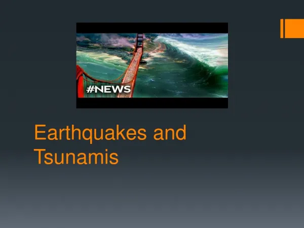
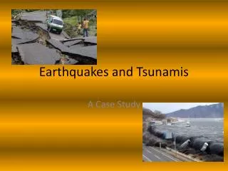
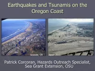
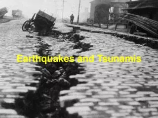
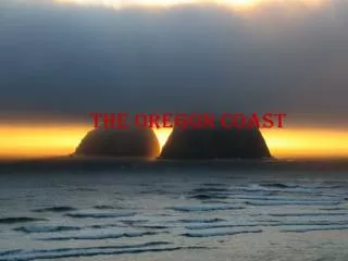
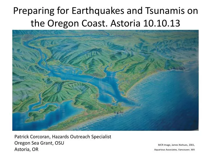
Preparing for Earthquakes and Tsunamis on the Oregon Coast. Astoria 10.10.13. Patrick Corcoran, Hazards Outreach Specialist Oregon Sea Grant, OSU Astoria, OR. MCR Image, James Niehues , 2001, Aquarious Associates, Vancouver, WA. We Get What Japan Got. Seaside, OR On a sunny day (undated).

E N D
Preparing for Earthquakes and Tsunamis on the Oregon Coast. Astoria 10.10.13 Patrick Corcoran, Hazards Outreach Specialist Oregon Sea Grant, OSU Astoria, OR MCR Image, James Niehues, 2001, Aquarious Associates, Vancouver, WA
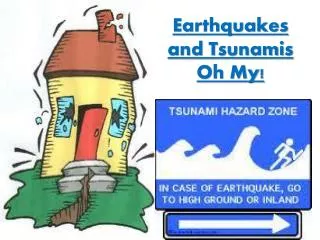
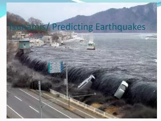
We Get What Japan Got Seaside, OR On a sunny day (undated) Tohoku Japan Following M9.0 3.11.11
The Bottom Line • Giant Earthquakes Happen Here! They Occur Regularly in Geologic Time. Our Last one Was in 1700 (313 years ago) • Given 10k year Averages, We are well within the Window of Recurrence (75% of M8-9 events would have happened by now given the historic record) • We are the first generation since western settlement to know of our risk. We need to become prepared commensurate with the risk • First step: EXPECT IT! It will change your life.
EXPECT IT! It will change your life
30 year probabilities of selected hazardsUSGS Press release 2008, adapted from “Earthquake Basics” DOGAMI 2013 * * USGS Press Release April 14, 2008 54
Questions • How many of you locked your car? • Why? • How many of you have a Go-Kit in your car? • Why Not?
Are Dice More Your Thing?Pick two numbers, and roll the dice. That’s how likely it is to get a local event 37% probability in the next 50 years of a M8 or M9is greater than a 1:3 Chris Goldfinger, OSU
EXPECT IT! Then what?
The 3 Things You Need to Know • The difference between “Local” and “Distant” tsunamis • The location of “Safe Zones” are where you live, work, and play along the coast • “How to Reconnect” with loved ones following Local events Source: Patrick Corcoran, Sea Grant Extension, Oregon State University
Three Types of PNW Earthquakes • Shallow: near the surface • Interplate: between two plates adjacent plates • Subduction: overlapping plates, mega thrust
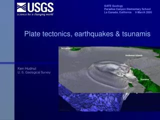
Cascadia Subduction Zone Quakes Leave an Offshore Record
Turbidites(alternating dark colors of sediment from core samples) indicate CSZ earthquakes Source: Chris Goldfinger, Oregon State University
19 M9‘s in past 10,000 years ! Source: Adapted from DOGAMI, 2013
Onshore evidence in Young’s Bay Astoria, OR The last four Cascadia events are recorded as layers in River banks. Estimate datestop to bottom as AD: 1700 1400 900 400
If you FEEL a large earthquake: immediately duck down, cover your head from falling debris, and hold on until the shaking stops. If you’re in the inundation zone, evacuate immediately to high ground. If not, stay put, or moved to open ground. Avoid landslides, power lines, gas leaks, and fires. Administer first aid and help others. Expect aftershocks and related trauma and damage. Execute your family plan. What did you say you were going to do? Do you have the discipline to do it? Do your kids? Local Earthquake
M 9.0 Earthquake and Landslides… Source: Oregon Dept Geology and Mineral Industries
Amplification of Soil and Fill Source: Oregon Dept of Geology and Mineral Industries
A large earthquake IS your warning that tsunamis are on their way in15 – 30 minutes!!
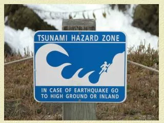
Local Tsunamis • The areas vulnerable to flooding by tsunamis include all beaches, shorelines, coastal waterways, and wetlands. Much development and infrastructure exists in these areas. • Locate where you live, work, and play on inundation maps. “Know where to go” when the next Big One occurs. There will be no warning, you will have 15 – 30 minutes to get to high ground. Source: Patrick Corcoran, Sea Grant Extension, Oregon State University
New Maps ! • DOGAMI Evacuation Brochures portray the worst case scenario for both local and distant events. Get maps at city halls, fire stations, and online at http://www.oregongeology.org/tsuclearinghouse/ • Tsunami inundation maps (TIM): Show range of the inundations of the past 19 events. More nuanced. For planning purposes.
How Do I Reconnect With Family? DISTANT event? Phones, roads and infrastructure may be busy, but intact. Drive home, call home, or stay overnight with friends. • LOCAL event? Instruct loved ones to get to high ground, stay there overnight, and find each other the next day. ID a non-local contact person for everyone to call. Do not rush to meet at a designated place as that will likely require family to re-enter danger zones. • Power and all phones will be out. Many roads and bridges will be damaged. You will likely not be in communication for a while. Insist that everyone knows what to do to be safe wherever they are. Don’t re-enter inundation zones for 24 hours. Talk through these scenarios. Source: Patrick Corcoran, Sea Grant Extension, Oregon State University
Families and Loved Ones Do your loved ones understand that we get this infrequent but real hazard? Do they Expect it? Will they take distant events in stride; but when the earth quakes, will theymove to high ground, stay there overnight, and find you the next day? Are you sure?
Biology, Wetlands, and Permit Team • Do you understand the likelihood of experiencing a CSZ in your career/lifetime? • Do you understand your “tsunami footprint” and know where high ground is at all locations? • Do you carry a Go Bag in your work rig? • Have you talked to your loved ones about “what if” scenarios with you working on the coast?
Two Tsunami Scenarios • Distant: Where are you? (Necanicum floodplain) What do you do? • Local: Where are you? (Necanicum floodplain) What do you do?
Tips for Field Staff • Familiarize yourself with inundation maps for where your work locations and travel routes. • Sharpen your eye with regard to vulnerable areas and safe areas • Talk to your colleagues about your risks. • Remember, everyone has their own risk tolerance
Overwhelming Opportunities • Political leadership and government support • Businesses and Chambers of Commerce • Schools, hospitals and public heath • Public works, ODOT, planning departments • Individuals, families, and neighborhoods, CERTS.
We’re Culturally Unprepared • Research has only in the past 25+ years revealed that Cascadia erupts in Great (M9) earthquakes and tsunamis. • It’s understandable that we’re behind the curve. But, we must make up for lost time. We must prepare commensurate with the risk—which is great. • In Japan 2011, 20k people tragically died. But over 200k were in the inundation zone at the time. So, 90% of Japanese successfully evacuated!