Download
1 / 27
280 likes | 510 Views
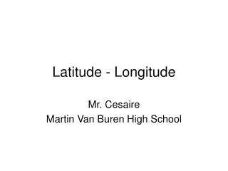
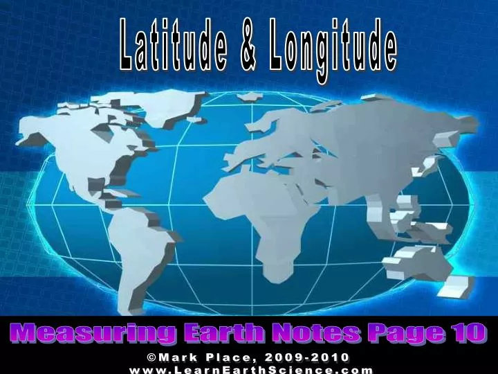
Latitude & Longitude. Measuring Earth Notes Page 10. ©Mark Place, 2009-2010 www.LearnEarthScience.com. Let’s Look at This Question: How is latitude measured?. 180. 150. 120. 90. 60. 30. 0. 30. 60. 90. 120. 150. 180. 165. 135. 105. 75. 45. 15. 15. 45. 75. 105. 135.

E N D
Latitude & Longitude Measuring Earth Notes Page 10 ©Mark Place, 2009-2010 www.LearnEarthScience.com
Let’s Look at This Question: How is latitude measured?
180 150 120 90 60 30 0 30 60 90 120 150 180 165 135 105 75 45 15 15 45 75 105 135 165 90 80 70 E 60 50 40 30 F 20 10 0 10 G 20 30 40 50 60 H 70 80 90 To get to the next line of latitude, you must move in which of two directions? Equator Latitude
180 150 120 90 60 30 0 30 60 90 120 150 180 165 135 105 75 45 15 15 45 75 105 135 165 90 80 70 E 60 50 40 30 F 20 10 0 10 G 20 30 40 50 60 H 70 80 90 North South
Latitude is measured and from the South North Equator
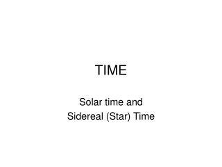
Let’s Look at This Question: How is longitude measured?
180 150 120 90 60 30 0 30 60 90 120 150 180 165 135 105 75 45 15 15 45 75 105 135 165 90 80 70 E 60 50 40 30 F 20 10 0 10 G 20 30 40 50 60 H 70 80 90 Longitude To get to the next line of longitude, you must move in which of two directions? Prime Meridian
180 150 120 90 60 30 0 30 60 90 120 150 180 165 135 105 75 45 15 15 45 75 105 135 165 90 80 70 E 60 50 40 30 F 20 10 0 10 G 20 30 40 50 60 H 70 80 90 East West
Longitude is measured and from the West East Prime Meridian
180 150 120 90 60 30 0 30 60 90 120 150 180 165 135 105 75 45 15 15 45 75 105 135 165 90 80 70 E 60 50 40 30 F 20 10 0 10 G 20 30 40 50 60 H 70 80 90 On the coordinate system, plot the coordinates given in your notes: D A B C
180 150 120 90 60 30 0 30 60 90 120 150 180 165 135 105 75 45 15 15 45 75 105 135 165 90 80 70 E 60 50 40 30 F 20 10 0 G 10 20 30 40 50 60 H 70 80 90 State the coordinates for each of the letters in the figure above: 20°N, 75°E 65°N, 50°W 70°S, 15°E 10°S, 135°W
PLEASE TURN TO PAGE 11 OF YOUR NOTES
LATITUDE ALTITUDE BASED ON THE ____________ OF _______________ Demo POLARIS
LATITUDE = ALTITUDE
POLARIS CAN ONLY BE SEEN IN THE HEMISPHERE NORTHERN
25°N, 100°W Altitude of Polaris 25°
30°S, 100°E Altitude of Polaris Can't be seen!
80°S, 65°W Altitude of Polaris Can't be seen!
45°N, 105°E Altitude of Polaris 45°
LONGITUDE BASED ON EARTH’S ROTATION
LONGITUDE EACH HOUR, EARTH ROTATES 15° (360°/24hrs)
HOW MANY TIME ZONES? 24 TIME ZONES 15° APART
People on the same line of longitude have the same Local Time
Example: Two students record a difference in local time of two hours. How many degrees of longitude apart are they? 15° x 2 hours = 30°