Download
1 / 121
1.22k likes | 1.32k Views
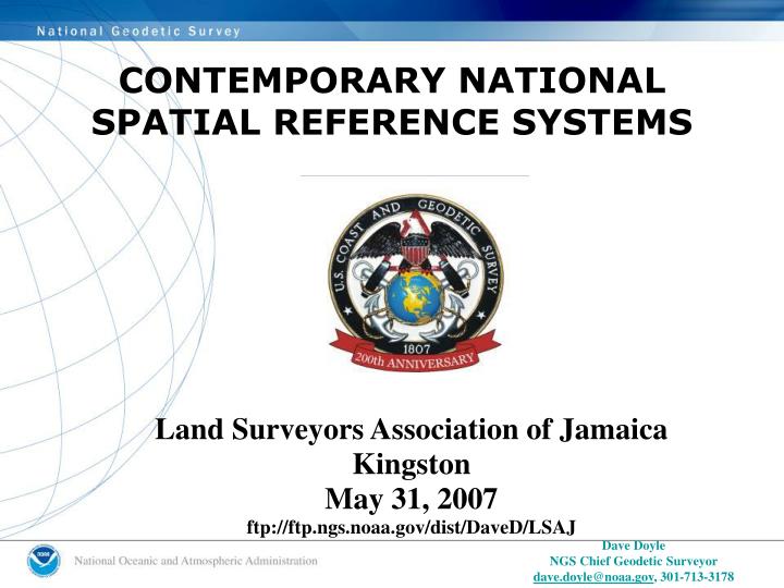
CONTEMPORARY NATIONAL SPATIAL REFERENCE SYSTEMS. Land Surveyors Association of Jamaica Kingston May 31, 2007 ftp://ftp.ngs.noaa.gov/dist/DaveD/LSAJ. Dave Doyle NGS Chief Geodetic Surveyor dave.doyle@noaa.gov , 301-713-3178. GEODETIC SURVEYING IN THE U.S. FEDERAL GOVERNMENT.

E N D
CONTEMPORARY NATIONALSPATIAL REFERENCE SYSTEMS Land Surveyors Association of Jamaica Kingston May 31, 2007 ftp://ftp.ngs.noaa.gov/dist/DaveD/LSAJ Dave Doyle NGS Chief Geodetic Surveyor dave.doyle@noaa.gov, 301-713-3178
GEODETIC SURVEYING IN THE U.S. FEDERAL GOVERNMENT Independent Regulatory Commissions Executive Agencies
Primary Federal Charting & Mapping Agencies NAUTICAL CHARTING AERONAUTICAL CHARTING TOPOGRAPHIC MAPPING
Primary Federal Cadastral and Engineering Survey Agencies
National Geodetic Survey Director Deputy Director Chief Geodesist Geodetic Services Division Observation and Analysis Division Systems Development Division Remote Sensing Division Geosciences Research Division Spatial Reference System Division
1807President Thomas Jefferson signs legislationestablishing the Survey of the Coast
Ferdinand Hassler directing the movement of the great theodolite to the station Working on Fire Island, about 1837
Our Positioning History What’s In a Name? 1807 - Survey of the Coast 1836 - Coast Survey 1878 - US Coast and Geodetic Survey 1970 - National Ocean Service 1970 - National Geodetic Survey (NOS geodetic functions)
Astronomic ObservationsPolar Motion GaithersburgObservatory1899-1982
Wooden tower within a tower Outer tower supports personnel ‑ inner tower supports instrument
Yolo buggy used to transport and shade base line measuring instrumentsSacramento Valley, California1881
Echo Balloon Satellite 1960type of satellite photographed by BC-4
BC-4 camera photographs Echo satellite against the star background.
Pago Pago Antarctica BC-4 Crews got to go to some neat places Ethiopia Chad Yukon Easter Island Pitcairn Island
GLOBAL NAVIGATION SATELLITE SYSTEMS(GNSS) • POTENTIAL FUTURE DEVELOPMENTS • (2006 – 2017??) • GPS MODERNIZATION – BLOCK IIR-M & III • GLONASS ENHANCEMENTS • EUROPEAN UNION - GALILEO • 70- 90 Satellites • Second and Third Civil Frequency - GPS • No Signal Encryption - GLONASS & GALILEO • More Robust Signal Transmissions • Real-Time Unaugmented 1 Meter (or better!) Accuracy