Download
1 / 58
600 likes | 629 Views
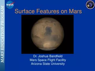
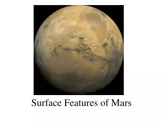
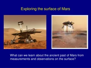
Mapping the Surface of Mars. NOAO Science Education Group and Chris Martin from Howenstine Magnet High School. Part 1. Main Features. Craters Volcanos Canyons Rivers Rock Layers. Part 1. Mapping the Surface of a Planet. http://www.noao.edu/education/astro/remote-sensing/mars/

E N D
Mapping the Surface of Mars NOAO Science Education Group and Chris Martin from Howenstine Magnet High School
Main Features • Craters • Volcanos • Canyons • Rivers • Rock Layers
Part 1. Mapping the Surface of a Planet • http://www.noao.edu/education/astro/remote-sensing/mars/ • Identify geological features • Determine the surface history • How were these features formed? • Which features were formed first and are therefore older? • Which features were formed later and therefore are younger? • 3 Principles to determining the surface history • Superposition (ages of layers) • Cross-Cutting Relationships (e.g., rocks can be cut by rocks) • Horizontal Bedding (rocks deposited by wind or water)
Activity 1 • Using the Mars Orbiter Camera to identify the features • Use the 3 principles to rank from oldest to youngest
Activity 2 • Map of thermal infrared energy emitted from Mars • The “TES” can measure how much energy is being reflected from the surface (albedo). • Learn about unique geology in the Tharsis Province.
Activity 3 • The MOLA image shows the topography or heights, of the region surrounding the three Tharsis Montes volcanoes. • The color scale below the image helps determine the heights of the features.
Part 2. Mapping the Surface of Mars • http://www.noao.edu/education/astro/remote-sensing/mars/ • Take what you know about remote sensing and Mars • Apply it to a set of images of Mars taken so recently that scientists haven’t had a chance to take a close look at all of them! • The activity starts with the Viking Orbiter image of all of Mars. • Most of the images are from the High Resolution Imaging Science Experiment. • More open inquiry
HiRISE Flight Structure(approximately 70 cm in diameter by 1.4 m in length)
Global View First • What kinds of features can you make out in this full image of Mars? • Are they similar to structures you see on Earth? Which ones? • Describe features that you cannot decipher? • Make a comment about what you can say about Mars as a whole planet?