Download
1 / 28
290 likes | 591 Views
Chapter 3. Navigating with ATONs. ATON Systems. U.S. Aids to Navigation The Intracoastal Waterway Aids The Western River System (Mississippi River system) The Uniform State Waterway Marking System (USWMS). 1. 2. 3. 4. U.S. Aids To Navigation . (ATON). Right side of channel

E N D
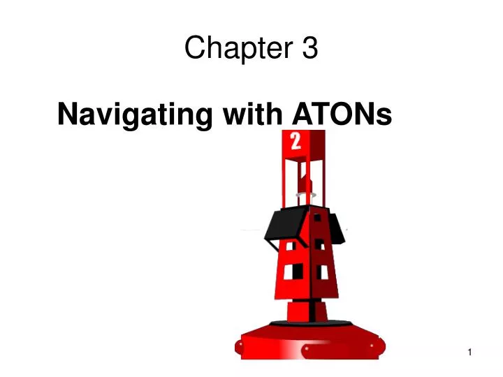
Chapter 3 Navigating with ATONs
ATON Systems • U.S. Aids to Navigation • The Intracoastal Waterway Aids • The Western River System (Mississippi River system) • The Uniform State Waterway Marking System (USWMS) 1 2 3 4
U.S. Aids To Navigation (ATON) • Right side of channel • Red colors, red lights, • Even numbers, NUN buoys • Left side of channel • Green colors, green lights, odd numbers, CAN buoy 1 2 RED RIGHT RETURN(From the sea)
Aid to Navigation • Any object visible from the water andshown on the chart • Buoys • Dayboards • Lights • Beacons/Towers • Bridges • Landmarks • Geographical Features • Others
Waterway Markers • Lighted or Non-Lighted Buoys • Nun, Can, Spherical, or Tower • Day Boards (Beacons) • Triangle, Square, Diamond • Sound Device • Light Structures • Special Purpose/Information
Aids to NavigationATONS • Which side of the boat is the red buoy supposed to be on? Red, Right, Returning from the Sea
1 2 Daybeacons • Fixed on pilings • Shallow water instead of buoys
Non-Lateral Aids • Non-Lateral Marks - US Aids 1 Daymark Spherical Buoy (unlighted)
Special Purpose ATON Buoy and Daymark • Yellow in color • Lighted or not lighted • Yellow light • Shape (can/nun) • Can have a sound device • Are never numbered • Yellow diamond daymark 1 Daymark 2 3 4 5 6 7
Regulatory Markers 4 3 2 1
Navigating on Water • Charts • Why important? • What information is contained? 1
Locks • Commercial traffic has priority • Communication: channel 13 VHF-FM marine 1 2
Tides On Coastal Waters • Gravitational forces of the moon and sun • Tides fluctuate by many feet • Docking affected by tide • Local knowledge • Don’t run aground 1 2 3 4 5