Download
1 / 10
100 likes | 270 Views
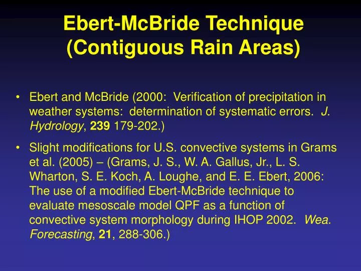
Ebert-McBride Technique (Contiguous Rain Areas). Ebert and McBride (2000: Verification of precipitation in weather systems: determination of systematic errors. J. Hydrology , 239 179-202.)

E N D
Ebert-McBride Technique(Contiguous Rain Areas) • Ebert and McBride (2000: Verification of precipitation in weather systems: determination of systematic errors. J. Hydrology, 239 179-202.) • Slight modifications for U.S. convective systems in Grams et al. (2005) – (Grams, J. S., W. A. Gallus, Jr., L. S. Wharton, S. E. Koch, A. Loughe, and E. E. Ebert, 2006: The use of a modified Ebert-McBride technique to evaluate mesoscale model QPF as a function of convective system morphology during IHOP 2002. Wea. Forecasting, 21, 288-306.)
Data used • Can be applied to any gridded forecast and observation data in which closed contours have significance • Works well with precipitation and radar reflectivity data • Subjective parameters should be chosen based on the grid spacing of the data to be verified and the magnitude of values (e.g., time interval for precipitation).
Define a rectangular search box around CRA to look for best match between forecast and observations • Displacement determined by shifting forecast within the box until MSE is minimized or correlation coefficient is maximized How does it work? • Find Contiguous Rain Areas (CRA) in the fields to be verified • Take union of forecast and observations • Use minimum number of points and/or total volume of parameter to filter out insignificant CRAs Observed Forecast
Information provided • Displacement of centroid • Original and shifted values of RMSE and correlation coefficient • Error decomposition (volume, displacement, pattern) • Compares properties of forecast and observed entities (area, mean value, max value, volume) • Scatterplots based on gridbox values • Identifies events that are pure false alarms (no observed rain) and missed events (no forecasted rain)
Strengths • Displacement error determined • Compares overall properties of forecast and observed blobs • Verification metrics computed before and after correcting for forecast displacement • Error decomposition shows where most serious problems exist • Technique can identify false alarms and missed events
Weaknesses • Numerous tunable (subjective) parameters which can significantly affect results • Two or more observed events may become part of one CRA – no way to split overpredicted forecast area into portions matching separate observed events • Forecasted and observed rain areas must be CONTIGUOUS or at least VERY CLOSE in order to be matched – may be a problem for related rain areas that aren't close enough • Occasional funny behavior near domain boundaries when MSE-based matching is used
WRF4-NCAR 5 2 6 3 1 7 4 EMT results applied to June 1 case: contrast between CRAS using .04 and .1 inch
WRF4 -NCAR CRA 2 ends up linking WRF squall line with 2 observed rain areas in NE, to the NNE.
WRF4 - NCAR CRA6 ends up being observed squall line, identified as missedevent… even though WRF did simulate a line not far to the west