Download
1 / 26
260 likes | 357 Views
Utilizing Data Sets from the CReSIS Data Archives to Visualize Greenland Echograms Information in Google Earth. 2012 Research Experience for Undergraduates in Ocean, Marine, and Polar Science . Team Members. Shaquia Johnson Mississippi Valley State University. Maya Smith

E N D
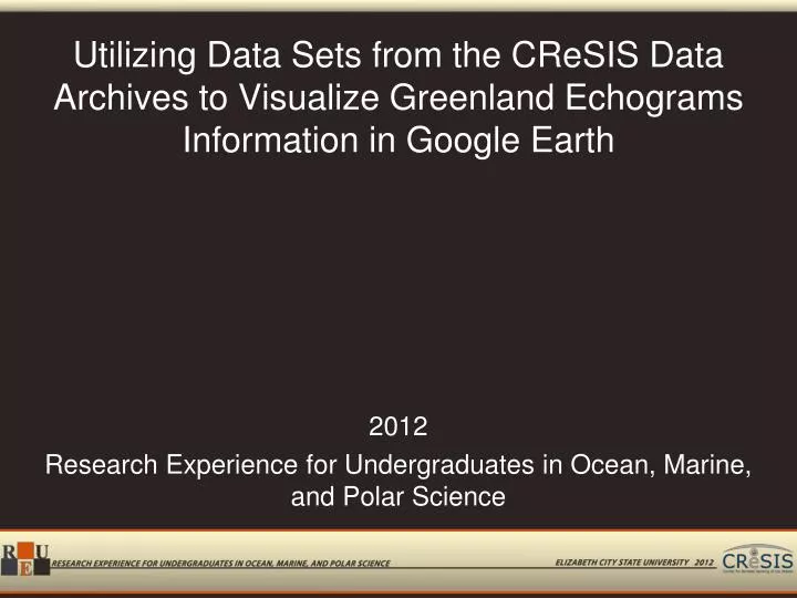
Utilizing Data Sets from the CReSIS Data Archives to Visualize Greenland Echograms Information in Google Earth 2012 Research Experience for Undergraduates in Ocean, Marine, and Polar Science
Team Members Shaquia Johnson Mississippi Valley State University Maya Smith Winston-Salem State University Mentor: Mr. Jeff Wood
Abstract Since 1993, the Center for Remote Sensing of Ice Sheets (CReSIS) has been gathering ice thickness data in Greenland. This information is in various formats such as: Postscript Document Format (PDF), Joint Photographer Expert Group (JPEG), Keyhole Markup Language (KML), and Comma Separated Values (CSV). These formats display data in individual visualizations while another format; Matrix Laboratory (MATLAB) will display multiple sources of data, but in the proprietary software application only. The goal of this project was to combine the non-MATLAB visualizations into one window utilizing the PHP Hypertext Preprocessor scripting language and Google Earth. These product files would be simple in their construction, easily adaptable to new data formats, and provide continued display of newly acquired data. The PHP Hypertext Preprocessor language was used to modify the Keyhole Markup Language files to add description tags in order to display data from other formats. The combined files were displayed in the geographical program Google Earth available as a free download to users.
Introduction • CReSIS • Partners
Types of Data • Accumulation Radar • KU-band Radar altimeter • Radar depth sounder • Snow radar
Data Visualization • KML • CSV • JPEG • MatLab • PolarGrid GIS Server
Scripting Languages • Overview • PHP • JavaScript • PHP XML DOM
PHP • Overview • Uses • Platform • Dreamweaver
XML • Overview • Structure
XML DOM • Overview • Tree structure Root Node <school>Parent Node & Attribute Node <building category=“academic">Child Node <room>Sub-Child Node <chairs>20</chairs>Sub-Child Node <desks>6</desks>Sub-Child Node <computers>14</computers> End Child Node </room>End of Parent Node </building>End of Root Node </school>
Google Earth • Overview • Visualization
KML • Overview • Structure • Project KML
Data Location CSV • Overview • Excel KML Flight Date Number Radar Depth Sounder JPEG Accumulation Flight Date Number MatLab
Function Output_file • Read the file • Ensures browser has the mime type • Opens file in proper application • Modification- kml, Google Earth 14 of 26
Importing Echogram URLs • Open text file • URL -> Array • Close text file
Retrieve CReSIS KML file • file_get_contents
tempKMLflight • Open tempKMLflight.kml • Flight path data -> temporary file • Close temporary file
DOM Set-up • New DOMDocument • Load temporary file • Locate First Node (Root) • Locate all "Placemark" elements • Count Placemarks
Modifying File Structure • Begin loop of Placemarks
Modifying File Structure • Build value for description • Joining PHP variable and HTML code • Echogram URL + Hyperlink + Image Source • Create new element
Save and Download File • Save tempKMLflight.kml • Call output_file function • Pass file name, path, mime
Example of Operation http://nia.ecsu.edu/reuomps2012/teams/data/research.html
Results • File combination in KML • Simple combination script • XML DOM
Conclusion • PHP XML DOM • Data Organization
Future Work • Migrate code to Google Maps • Work with CReSIS on data organization • Add other data files • Add older KML files (points vs. segments) • Rewrite PHP code
Questions? Questions?


![Engaging Undergraduates in Research [and Inquiry]](https://cdn1.slideserve.com/2053051/engaging-undergraduates-in-research-and-inquiry-dt.jpg)