Download
1 / 18
180 likes | 288 Views
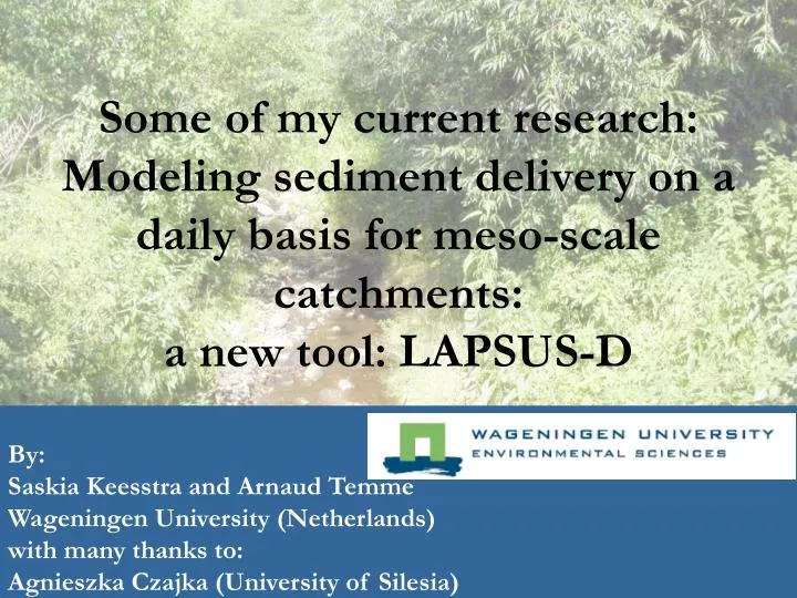
Some of my current research: Modeling sediment delivery on a daily basis for meso-scale catchments: a new tool: LAPSUS-D. By: Saskia Keesstra and Arnaud Temme Wageningen University (Netherlands) with many thanks to: Agnieszka Czajka (University of Silesia).

E N D
Some of my current research:Modeling sediment delivery on a daily basis for meso-scale catchments: a new tool: LAPSUS-D By: Saskia Keesstra and Arnaud TemmeWageningen University (Netherlands)with many thanks to:Agnieszka Czajka (University of Silesia)
Background Aims Study area Methodology Results Conclusions Outlook Background (1) • For management purposes important to assess sediment yield of a catchment. • Currently: models designed for estimating sediment yield either: • give very detailed storm-based information • or yearly averages.
BackgroundAims Study area Methodology Results Conclusions Outlook Background (2) • Soil erosion models get more sophisticated • Models more physically based and suitable for different kinds of situations. • Price: model require large amounts of input data • very temporally dense data (like 10 minute rainfall data) • difficult to obtain soil data such as the saturated conductivity. • If such data are unavailable: sediment yield models producing yearly averages.
BackgroundAims Study area Methodology Results Conclusions Outlook Background (3) • BUT: yearly averages models: ignore lot of other detailed information like: • daily discharge • precipitation data. • Currently no models that model sediment yield • On temporal scale of one day • On spatial scale of a meso-scale catchment, without making use of very detailed input data.
Background Aims Study area Methodology Results Conclusions Outlook Research aim (1) • Make a model that can: • Model erosion in a meso-scale catchment (20-200 km2) • Is based on physical processes • Has a significant hydrological component • Can be run for daily time-step • Requires input data readily available for most catchments • Eventually: A GIS- model that can be used by catchment managers and non-modeller-scientist
BackgroundAims Study area Methodology Results Conclusions Outlook Research aim (2) • Landscape evolution model LAPSUS (Schoorl, 2002) (LandscApe ProcesS modelling at mUlti-dimensions and Scales) • LAPSUS model models water and sediment routing
Background Aims Study area Methodology Results Conclusions Outlook Research aim (3) • LAPSUS has water balance as a base. • has been adapted to model sediment yield on a daily basis: LAPSUS-D: • Calibrated with daily precipitation and discharges. • gives good indication of possible sediment transport.
Background Aims Study area Methodology Results Conclusions Outlook Study area (1) • This new version of LAPSUS was tested on both a catchment in SW Poland and Mediterranean Israel up till now. • Upper Nysa Szalona: • South western Poland: Temperate climate, • 23 km2
Background Aims Study area Methodology Results Conclusions Outlook Study area (2) • Nahal Oren: • Mediterranean climate • Carmel mountains • 20 km2
LAPSUS model Scenarios Landuse Geology Soil type Soil depth DEM Rainfall Erodibility Infiltration Run-on Run-off Erosion Deposition changed DEM Modelling framework J.M. Schoorl Laboratory of Soil Science & Geology
Background Aims Study area Methodology Results Conclusions Outlook Changes to LAPSUS • Because of smaller time step of 1 day: • Basic assumption of all water leaving the catchment in 1 time step no longer valid: • Therefore: • Cut rainfall-runoff in two parts: • Surface runoff leaves catchment in 1 day • Subsurface runoff moves with 1 cell/day
Background Aims Study area Methodology Results Conclusions Outlook Time step 1 Time step 2 Precipitation Precipitation Interception by vegetation Surface storage Repetition of processes in time step 1 Infiltration Surface runoff Run on Maximum storage capacity Surface runoff Run on Maximum infiltration rate Infiltration • Explain water stocks, flows and losses: • Stocks: • Surface storage • Storage in unsaturated zone. • Flows: • Infiltration • Hortonian overland flow • Saturated overland flow • Groundwater to surface flow • Groundwater to groundwater • Losses: • Soil evaporation • Interception Groundwater Darcy: slope of groundwater level Multiple flow: slope of surface Current status of model development
Background Aims Study area Methodology Results Conclusions Outlook Methodology: calibration in Poland • With limited input no full hydrological simulation • Specially baseflow not well simulated. • BUT: only peak discharge is important for sediment transport • Therefore focus on peak discharge
Background Aims Study area Methodology Results Conclusions Outlook Results of calibration in Poland
Background Aims Study area Methodology Results Conclusions Outlook Results of calibration • Our set calibration tool gave satifactory results as: • Peak height and peak duration and peak volume was modelled with good accuracy
Background Aims Study area Methodology Results Conclusions Outlook Calibration in Israel • No base flow • But due to geology: deep drainage which is not accounted for in model • With few adaptations, which need to be refined: • Peak duration and peak volume modelled with good accuracy • Sediment calibration: good results • Now looking for longer record for validation
Background Aims Study area Methodology ResultsConclusions Outlook Summary LAPSUS-D • Meso-scale catchment (20-200 km2) • Hydrological component • Daily time-step • Calibration with the discharge at the outlet • Using only: • DEM (10 to 30 m pixel size) • soil map • land use map • daily discharge and precipitation data • A general idea of the soil depths in the catchment. • With this: calibration for water flow part: • good indication of possible sediment transport
Thanks! Questions?