Download
1 / 26
260 likes | 372 Views
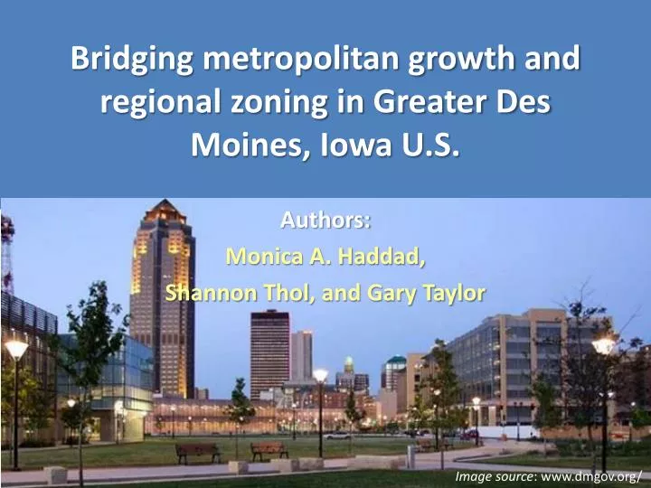
Bridging metropolitan growth and regional zoning in Greater Des Moines, Iowa U.S. . Authors: Monica A. Haddad, Shannon Thol , and Gary Taylor. Image source : www.dmgov.org/. Project Background.

E N D
Bridging metropolitan growth and regional zoning in Greater Des Moines, Iowa U.S. Authors: Monica A. Haddad, Shannon Thol, and Gary Taylor Image source: www.dmgov.org/
Project Background • Sustainable Communities: “stimulate more integrated and sophisticated regional planning to guide state, metropolitan, and local investments in land use, transportation and housing, as well as to challenge localities to undertake zoning and land use reforms” (HUD, 2013) • Success “depends specifically on the physical, cultural, and political context of a given metropolitan area, its sources and strength of leadership, the breadth of organizational participation, the technical capacity of the combined organizational team, and the institutional governance structure” (Knaap and Lewis, 2011, p. 205)
Project background • Planning project focused on sustainable development • 15 objectives, including: “Increased use of compact development as a tool for regional planning to accommodate population growth, to utilize infrastructure efficiently, and to preserve productive agricultural land and natural areas for environmental and recreational purposes” (The Tomorrow Plan 2012).
Pop annual growth 1.1 % vs. 0.2%
Our Approach • Need to study the physical context of the area to ensure regional planning is successful • Past trends in metropolitan growth, and the relationship between growth and current land use planning/development regulations • The influence of development regulations on the density and rate of development must be understood for any effort to limit urban sprawl to be effective • Examinespatial patterns of development in Greater Des Moines over the period 2000-2010 • Analyze the types of zoning categories in which this development occurred
Our Methodology • Classification of land covers • Identification of new development • Development of a regional unified zoning
Remote sensing methods Obtain Landsat satellite imagery Preprocess Landsat imagery Unsupervised classifications Assign spectral classes to informational classes Land cover accuracy assessment Coordinate system: UTM Zone 15N with NAD 1983 datum New development accuracy assessment Post-classification change detection 2000 land cover map 2010 land cover map “New development” map Products:
Landsat imagery • Landsat 5 Thematic Mapper (TM) • Level 1T (terrain corrected) images obtained from USGS (www.glovis.usgs.gov) • Study area covered by Path 26/Row 31 • Multi-temporal data used to capture seasonal variability of vegetation Summer Fall
Land cover classifications • ISODATA classifications in ENVI 5.0 softw. (Yuan et al., 2005) • 100 spectral classes • 60 iterations, 1% change thresholds • Ancillary road data • From IADOT (2000 and 2010) • Burned into built-up class • Built-up non-reversal rule • 2000 built-up land burned into 2010 results
Post-classification change detection:New development Overall accuracy = 85%
Conclusion • There was a 15% increase in the built-up area of the region, and a decrease in crop land & grass land cover • The majority of new development occurred in the peri-urban region, in the western and northern suburbs • Most development appeared to be in the form of urban expansion • It is important to note that we did not explicitly test for or address infill development in our analyses • Purposeful: development did not happen in these locations simply because there was nowhere else to build
Conclusion • Other factors such as population pressure and changes in the economic structure of the region affect spatial patterns of development • This is an important area that should be targeted for future research • PUDs, which are a special category of zoning that provide a lot of flexibility to the city and developers, was the predominant class
Conclusion • In creating the RUZ we observed that there is a mosaic of local governments working independently to plan for their own future growth • At the time of writing this paper it is difficult to say with any confidence that the Tomorrow Plan will result in a more robust regional approach to land use planning and regulation • It is more likely that the plan will act as a catalyst for further conversations about collaboration among the region's municipalities
References HUD (2013) 10 Feb. 2013, http://portal.hud.gov/hudportal/HUD Knaap, G. and Lewis R. (2011) Regional planning for sustainability and hegemony of metropolitan regionalism. In Regional Planning in America: Practice and Prospect. Eds. Ethan Seltzer and Armando Carbonell. Cambridge MA: Lincoln Institute of Land Policy p. 176-221 Yuan F., Bauer M.E., Heinert N.J., and Holden G.R. (2005) Multi-level Land Cover Mapping of the Twin Cities (Minnesota) Metropolitan Area with Multi-seasonal Landsat TM/ETM+ Data. Geocarto International, 20(2): 5-14.