Download
1 / 17
170 likes | 173 Views
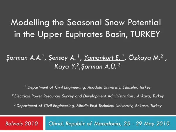
Topographic Effects On Snow Depletion Curves Of Upper Euphrates River Basin, Turkey. Aynur Şensoy 1 , Gökçen Uysal 1 , A. Arda Şorman 1 , A. Ünal Şorman 2. 1 Anadolu University, Eskisehir, Turkey 2 Middle East Technical University, Ankara, Turkey. Why snow(melt) is so vital ???.

E N D
Topographic Effects On Snow Depletion Curves Of Upper Euphrates River Basin, Turkey Aynur Şensoy 1, Gökçen Uysal 1, A. Arda Şorman 1, A. Ünal Şorman2 1 Anadolu University, Eskisehir, Turkey 2Middle East Technical University, Ankara, Turkey
Why snow(melt) is so vital ??? • Snow is a vital element in hydrological cycle for mountainous regions where snowmelt runoff plays an important role… • The objective of this study is to identify relationships between snow covered area and topographic & hydro-meteorological variables. ANADOLU UNIVERSITY/TURKEY
Relationships are….. 1. Snow covered area & Topographic variables • SCA – Elevation • SCA – Aspect • SCA – Slope 2. Snow covered area & Hydro-Meteorological variables • SCA – Temperature • SCA - Runoff ANADOLU UNIVERSITY/TURKEY
Study Area • The Upper Euphrates River Basin (Karasu Basin)... • The main land-cover types are pasture, cultivated land and bareland. • 60–70% of the total runoff volume originates from snowmelt… • Keban, Karakaya, Atatürk Dams are located at the downstream of the basin… ANADOLU UNIVERSITY/TURKEY
MODIS 10A1 (Daily) Terra Snow Product Images 03/03/2009 Image 14/04/2009 Image ANADOLU UNIVERSITY/TURKEY
SCA –Elevation Relationship ANADOLU UNIVERSITY/TURKEY
SCA- Aspect Relationship • Basin Topography according to quadrant directions… ANADOLU UNIVERSITY/TURKEY
Aspect Depletions of The Basin ANADOLU UNIVERSITY/TURKEY
SCA- Slope Relationship • Basin Topography according to slope classification… ANADOLU UNIVERSITY/TURKEY
Slope Depletions of The Basin ANADOLU UNIVERSITY/TURKEY
SCA- Temperature Relationship ANADOLU UNIVERSITY/TURKEY
SCA- Runoff Relationship ANADOLU UNIVERSITY/TURKEY
RESULTS • The snow covered area (SCA) and snow cover duration are important parameters for various hydrologic models to predict the seasonal water supply, runoff, and flooding risk in watersheds dominated by snowmelt. • Therefore, the main goal of this study is to determine the topographic control on snow distribution in a mountainous watershed of eastern Turkey based on MODIS snow products from February to June 2004 and 2009. • 10°-20° slope class always have the most snow cover area in all aspects. • The north-facing (south-facing) areas always experience the most (least) SCA in the whole basin. • The relationship between SCA and either temperature or runoff can be developed for forecasting SCA for missing (high cloud covered) days. ANADOLU UNIVERSITY/TURKEY
THANK YOU FOR YOUR ATTENTION….. Acknowledgements This study is funded by a project BAP 070212 (Scientific Research Project) of Anadolu University, Turkey. gokcenuysal@gmail.com