Download
1 / 23
230 likes | 359 Views
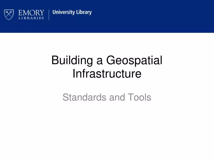
Building a Geospatial Infrastructure. Standards and Tools. Manuscript, Archives, and Rare Books Library Special Collections Literature African American history and culture Southern Historical Collections. Collections. History of Atlanta and the South Humanities

E N D
Building a Geospatial Infrastructure Standards and Tools
Manuscript, Archives, and Rare Books Library Special Collections Literature African American history and culture Southern Historical Collections Collections History of Atlanta and the South Humanities Health and Social Sciences
Provides numeric and spatial data services like... Data Visualization Geographic Information Systems (GIS) Research Consultation Quantitative Methods
Why put GIS in the library? Connect technology to data collections New Methods of Information Analysis Interdisciplinary Information hub Support Teaching and Research Access to data and geographic information Guidance/education on how to use software, tools, etc.
What kind of data goes into a Geospatial Collection? • Basemap data (transportation networks, water, etc) • Aerial photography • Datasets • Digitized copies of physical maps in library collection
Basemaps – data combined with the intention to create a starting point for more detailed mapping. Usually include the following themes: - Transportation layer - Land cover - Boundaries - Elevation - Hydrography
Administrative Boundaries Points of Interest Transportation Networks Elevation Imagery Hydrography
Fulton County (1958) Aerial Photography
Aerial Photography -84.532644, 33.634189 -84.502594, 33.634189 -84.502594, 33.608477 -84.532644, 33.608477
Datasets - Temporal Analysis 1958 2007
Atlas of Atlanta and Vicinity, 1928 88 Individual Color Maps Scale: 1 inch = 200 ft. Historical and Cultural significance Historical Maps & Atlases
Historical Maps & Atlases Historical Maps & Atlases • Building Footprints • Streets & Alleys • Manholes • Fire Hydrants • Sidewalks • Railways (including electric) • Administrative Boundaries • Parks • Water Bodies & Streams • Survey Benchmarks
Metadata • Maintain Inventory • Interoperability • Processing Information • Preservation Metadata
Content Standard for Digital Geospatial Metadata (CSDGM) • Purpose: These files were developed to enable a user to see the geographic component from the 2000 Census. They can be used to join demographic data from the 1990 census for use in a geographic information system.” • Process Description: Defense Mapping Agency processing: The main source material for the WVS was the DMA's Digital Landmass Blanking (DLMB) data which was derived primarily from the Joint Operations Graphics and coastal nautical charts produced by DMA. The DLMB data consists of a land/water flag file on a 3 by 3 arc-second interval grid. This raster data set was converted into vector form to create the WVS. For areas of the world not covered by the DLMB data (e.g. the Arctic and Antarctic), the shoreline was taken from the best available hard copy sources at a preferred scale of 1:250000. …… FGDC
North American Profile • 400 metadata elements (20 core elements) • Topic Categories: • imageryBaseMapsEarthCover • farming • intelligenceMilitary ISO19115:2003
UML (unified modeling language) ANZLIC Metadata Profile:, Version 1.0, ANZLIC,(2007) http://www.anzlic.org.au/metadata/guidelines/ANZLIC%20Metadata%20Profile%20Guidelines%20V1.0.pdf
Goal Desired Outcome Consistent user experience across library resources. Seamless searching and access to public and proprietary data. Guidance and experience on developing metadata strategies for spatial information (traditional maps vs. digital collections). Web mapping services