Download
1 / 62
670 likes | 1.15k Views
Weather, Climate, and Vegetation. Seasons. As the earth revolves around the sun, its 23 ½ ° angle causes much of the world to have different seasons . This tilt causes different parts of earth to receive more direct rays at different times of the year . The Solstices .

E N D
Seasons • As the earth revolves around the sun, its 23 ½° angle causes much of the world to have different seasons. • This tilt causes different parts of earth to receive more direct rays at different times of the year.
The Solstices • Twice a year, we have what is known as a SOLSTICE. • These days mark the furthest northor south from the equator that the sun’s rays shine directly overhead. • The solstices mark the first days of summer and winter.
The line of latitude at 23½° N where this happens is called the TROPIC OF CANCER. • The line of latitude at 23½° S where this happens is called the TROPIC OF CAPRICORN.
The sun’s rays are directly over the Tropic of Cancer. This would mark the beginning of summer in the Northern Hemisphere. June
The sun’s rays are directly over the Tropic of Capricorn. This would mark the beginning of summer in the Southern Hemisphere. December
The Equinoxes • Twice a year we go through an EQUINOX. • On these two days, the sun shines directly over the equator, and the days and nights are equal in the northern and southern hemispheres. • The equinoxes mark the beginnings of spring and fall.
The sun’s rays are directly over the equator twice a year. March September
It is interesting to note that the seasons in the southern hemisphere are exactly opposite of what we experience here in the northern hemisphere.
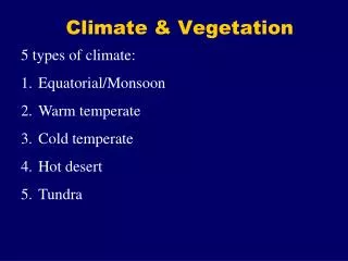
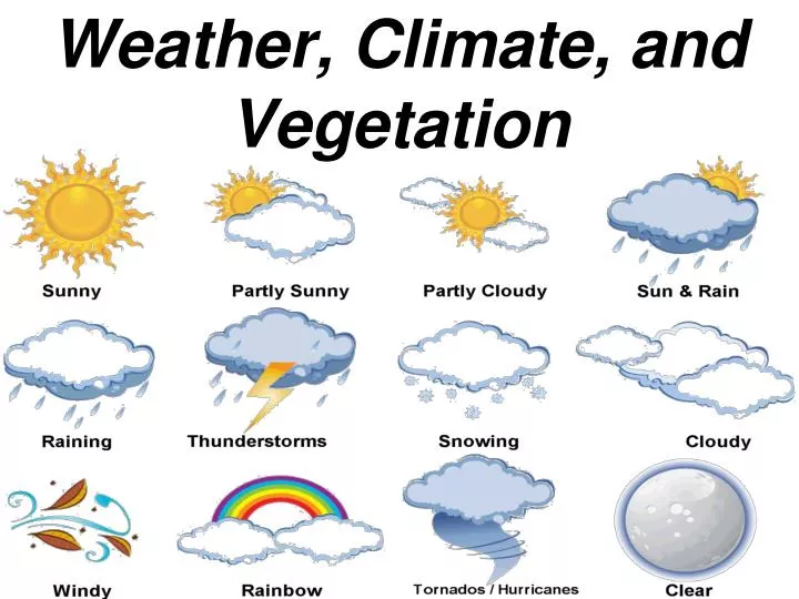
WEATHER:The condition of the atmosphere at a particular location and time. CLIMATE:Weather conditions at a particular location over a long period of time. The Difference Between Weather and Climate
Weather Extremes As air masses warm and cool and move across earth’s surface, sometimes they clash and cause storms. At times, these storms can be severe and cause major property damage and loss of life. Hurricanes, tornadoes, blizzards, and droughts are all examples of weather extremes.
Storms that form over warm, tropical ocean waters are called HURRICANES, or typhoons in Asia. They are also sometimes called cyclones. • Air flowing over warm water picks up moisture and heat energy. • The center or EYE of the storm is calm, while elsewhere, winds may blow up to 200 m.p.h. • The clouds and wind may stretch out over an area covering hundreds of miles.
When they hit land, tremendous damage may occur. • Howling winds may uproot trees and tear roofs off of buildings. • Storm surges may wash away shorelines and cause flooding. • Heavy rains may also cause flooding. • People living in low-lying coastal areas are at great risk.
Hurricanes may take days to develop, while TORNADOES, or funnel-shaped columns of spiraling air form quickly. • Tornadoes are born in thunderstorms when counter-clockwise winds swirl around a low-pressure center. • These winds may reach 300 m.p.h. and cause horrendous damage. • On average, they are only about 300 feet wide and travel a mile or so for a few minutes. Some may be larger.
A Whole Town Devastated Greensburg, Kansas was leveled by a tornado on May 4, 2007. The town of about 1,500 suffered 11 deaths.
The largest outbreak of tornadoes in U. S. history occurred on April 3-4, 1974 in the Ohio and Tennessee River Valleys. During a 16-hour period, a total of 148 tornadoes killed 330 people.
A BLIZZARD is a heavy snowstorm with winds of more than 35 miles per hour and reduced visibility. The greatest snowfall for a 24-hour period was 76 inches in Silver Lake, Colorado in 1921. A snowstorm that lasted from February 13-19, 1959 once dumped 189 inches, almost 16 feet of snow, on Mt. Shasta, California.
Blizzards are dangerous for various reasons. They endanger people and livestock who become trapped in them. They also snarl traffic, and make travel conditions dangerous. In the Sierra Nevada and Rocky Mountains, as well as the Great Lakes areas, hundreds of inches fall in a season.
A DROUGHT is a long period of time without rain or with very minimal rainfall. This lack of rainfall results in crop failures and reduced levels in water storage facilities such as reservoirs. In extreme cases, this may cause people to move to new areas in search of food, or to starve.
Five major factors that influence the climate of a region: Wind Patterns Ocean Currents Latitude Elevation Topography
Global Wind Patterns-They blow storms in certain directions.
Zones of Latitude • Low/Tropical • High/Polar • Middle/Temperate
Tropical Zones • The tropical zones are found on both sides of the equator, and go from the TROPIC OF CANCER to the TROPIC OF CAPRICORN. • Lands in the tropical zone are hot all year long. • Wind patterns may affect the amount of rainfall in areas.
Polar Zones • In the northern hemisphere, it extends from the ARCTIC CIRCLE to the NORTH POLE. • In the southern hemisphere, it extends from the ANTARCTIC CIRCLE to the SOUTH POLE. • It is cold all of the year, and summer temperatures may only reach 50°F.
Temperate Zones • The temperate zones lie between the tropical and polar zones. • Climates range from relatively hot to relatively cold. • Variations occur because solar heating is greater in the summer than in the winter.
Elevation – Height Above Sea Level As ELEVATION increases, the air temperature drops about 3.5°F every 1000 feet. Places over 12,000 feet in elevation share similar characteristics with polar zones. Some mountains near the equator have snow year-round.
Topography Landforms also affect climate. When moisture-filled winds move up the sides of mountains, they cool and release moisture. So on the WINDWARD side of a mountain, it is greener. On the other side, it does not receive as much moisture, and is known as the LEEWARD side.