Download
1 / 30
310 likes | 571 Views
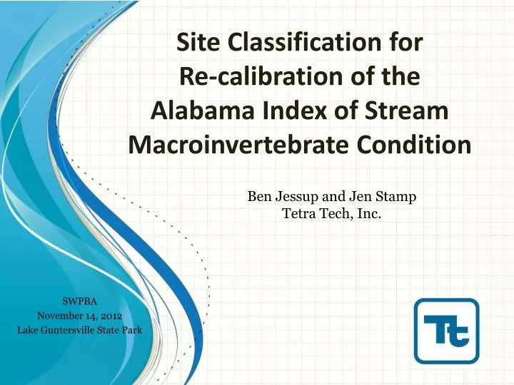
Site Classification for Re-calibration of the Alabama Index of Stream Macroinvertebrate Condition. Ben Jessup and Jen Stamp Tetra Tech, Inc. SWPBA November 14, 2012 Lake Guntersville State Park. Why Classify?. To allow comparable judgments Apples and oranges Level playing field

E N D
Site Classification for Re-calibration of the Alabama Index of Stream Macroinvertebrate Condition Ben Jessup and Jen Stamp Tetra Tech, Inc. SWPBA November 14, 2012 Lake Guntersville State Park
Why Classify? • To allow comparable judgments • Apples and oranges • Level playing field • Natural conditions
Why Classify in Alabama? • The index of stream macroinvertebrate condition should be recalibrated • Initial index development included samples from a limited portion of the state • New samples have been collected from all areas of the state • Site classification is the first step in index recalibration
Sites with benthic data collected from 1994-2005 Sites with post-2005 benthic data
Process for Site Classification • Data compilation • Disturbance variables • Classification variables • Benthic samples and metrics • Reference site identification • Based on the HDG • Confirmed with site data • Verified by ADEM • Classification Analyses
Reference Site Identification • Primary Reference Indication • HDG categories 1, 2, and 3 = Reference • HDG categories 6, 7, and 8 = Stressed • Site data confirmation
71 68 Calibration dataset 67 • 130 reference sites • 113 stressed sites • Benthic samples • Collected April-August from 1993-present • One sample per site used in calibration 45 65 75
Classification Analysis • Find the environmental factors that affect biology • Mapping • PCA of classification variables • All sites • NMS Ordination of sites by taxa • Reference only • Operational Taxonomic Units (OTU) • Cluster analysis and DFA • Comparison of metric distributions • Box plots and bi-plots
Level 4 Ecoregions • Fall Line • Special considerations • 65a & b • Blackland Prairies, Flatwoods, & Margins • 68 c and d • Plateau Escarpment & Southern Table Plateaus
PCA • Classification variables only • All sites Strongest drivers on each axis Factor 1, 22% Temperature, Latitude Factor 2, 16% Area, Gradient Factor 3, 13% Discharge, Ions Factor 4, 9% Precipitation, Day of year
PCA F1 by ecoregion Factor 1 (Temperature, Latitude) 68 71 75 67 65 45
PCA F2 by ecoregion Factor 2 (Area, Gradient) 75 71 67 65 45 68
PCA F3 by ecoregion Factor 3 (Discharge, Ions) 75 71 67 65 45 68
PCA F4 by ecoregion Factor 4 (Precipitation, Day of year) 75 71 67 65 45 68
NMS • Standardized taxonomy • Presence/absence
NMS of samples by taxa O'Neil and Shepard, 2007 Blackland April
Discriminant Function Analysis (DFA) Three clusters Four clusters
DFA • Can predict differences between 2 groups • Elevation, % cobble-boulder • Does not distinguish 3-4 groups very well • May have something with stream size
Metric Distributions EPT Taxa % 45 65 68 71 67
Remaining Variability Above Fall-line Spearman rho Reference only Metrics can be adjusted individually using residuals of the regression slope
Remaining Variability Below Fall-line Spearman rho Reference only Metrics can be adjusted individually using residuals of the regression slope
Conclusions • The strongest categorical classification variable is the Fall Line, where above and below groups are defined by ecoregions • Variability in some metrics remains after categorical classification, based on % riffles, % cobble/boulders, and hardness • Individual metrics can be adjusted continuously or in steps
Classification Errors • Yes • Site classes are generalizations • We cannot assign each site to its own class • We group for convenience and statistics • We lose specificity • If we define using ecoregional borders, some sites will be close to the edge (transitional) • Some sites will be natural anomalies
Abstract • In 2008, the Alabama Department of Environmental Management (ADEM) developed macroinvertebrate indices for high and low gradient streams using 205 sites from ADEM’s 1994-2005 datasets. These sites covered a limited portion of the state. An additional 285 macroinvertebrate bioassessments were conducted statewide between 2006-2011, filling in gaps in the spatial coverage of sites. ADEM sought to confirm or refine the classification of sites for biological assessments as a first step in recalibrating the indices. Using the human disturbance gradient (which includes land uses), water quality, and physical habitat, 130 reference stream sites were identified in all of the major ecoregions. Principal components analysis (PCA) showed how natural environmental variables in reference sites differed among level 4 ecoregions and were related to stressor variables and macroinvertebrate metrics. With the basic patterns apparent in reference sites, the PCA was run again with reference and non-reference sites to help classify sites in regions with low reference representation. The PCA axes related to biological variability were used to categorize sites in groups of level 4 ecoregions with similar biologically relevant characteristics. Taxa ordination was used for further exploration of biological types and to confirm final site classes. Site classes in Alabama were based on level 4 ecoregions, with stream size, slope, and water hardness as modifiers.
Discussion Agenda • Questions on the classification analysis • Exceptional stream types • Next Steps • Respond to questions • Develop final classes and metric adjustments • Test index alternatives • Test index in exceptional stream types