Download
1 / 18
180 likes | 352 Views
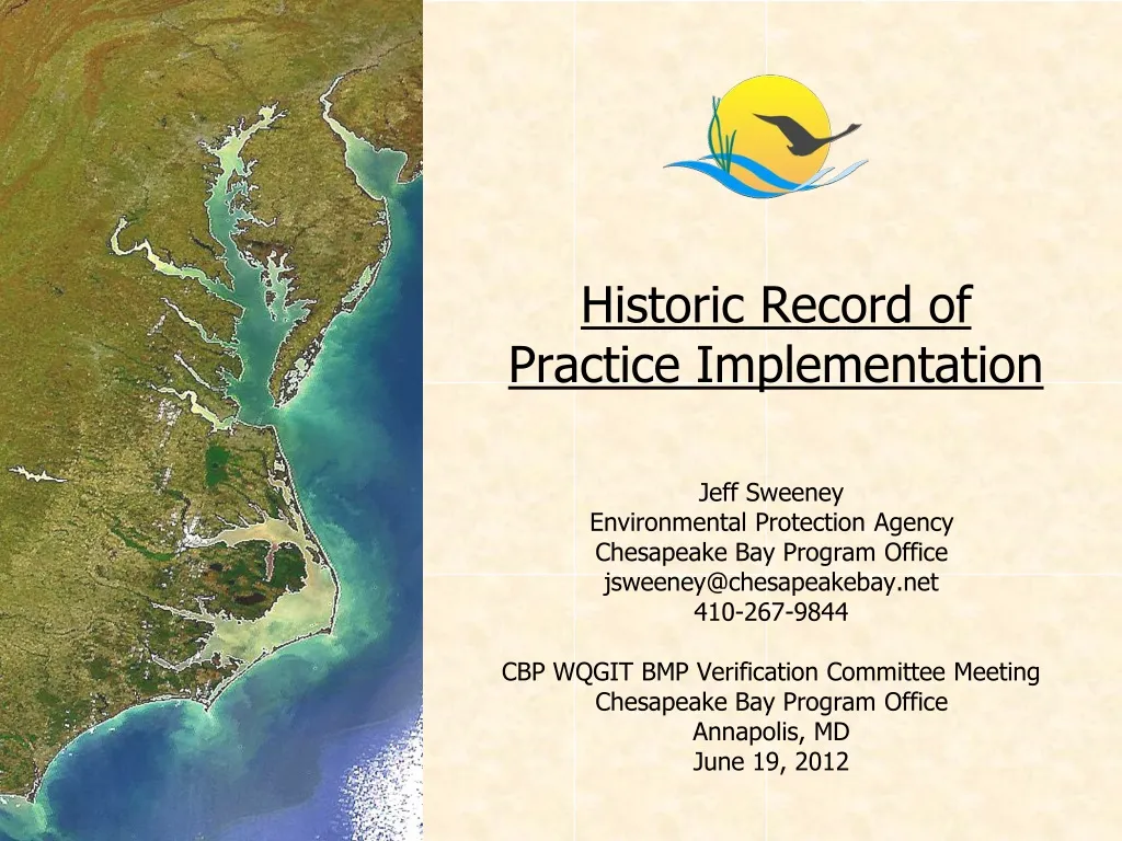
Historic Record of Practice Implementation. Jeff Sweeney Environmental Protection Agency Chesapeake Bay Program Office jsweeney@chesapeakebay.net 410-267-9844 CBP WQGIT BMP Verification Committee Meeting Chesapeake Bay Program Office Annapolis, MD June 19, 2012.

E N D
Historic Record of Practice Implementation Jeff Sweeney Environmental Protection Agency Chesapeake Bay Program Office jsweeney@chesapeakebay.net 410-267-9844 CBP WQGIT BMP Verification Committee Meeting Chesapeake Bay Program Office Annapolis, MD June 19, 2012
Historic Record of Practice Implementation • For the Phase 5.3.2 Watershed Model, record of implementation covers the period 1985-2011 • In 1985: • NY = Ag • PA = Ag and stormwater • MD = Ag and stormwater • VA = Ag • WV = Ag and forestry
Chesapeake Bay Watershed ModelAgricultural Practice Groups Nutrient Management • Nutrient Management • Decision Agriculture • Enhanced Nutrient Management • Conservation Tillage • Continuous No-Till • Other Conservation Tillage • Cover Crops • Cover Crops and Commodity Cover Crops • Early, standard, late-planting • Species • Seeding method • Pasture Grazing Practices • Alternative Watering Facilities • Stream Access Control with Fencing • Prescribed Grazing • Precision Intensive Rotational Grazing • Horse Pasture Management • Other Agricultural Practices • Forest Buffers • Wetland Restoration • Land Retirement • Grass Buffers • Tree Planting • Carbon Sequestration/Alternative Crops • Conservation Plans/SCWQP • Animal Waste Management Systems • Barnyard Runoff Control • Mortality Composters • Manure Transport • Water Control Structures • Non-Urban Stream Restoration • Poultry and Swine Phytase • Dairy Precision Feeding • and/or Forage Management • Ammonia Emissions Reductions
Chesapeake Bay Watershed ModelPractices on Developed Lands Stormwater Management • Wet Ponds and Wetlands • Dry Detention Ponds and Hydrodynamic Structures • Dry Extended Detention Ponds • Infiltration Practices • Filtering Practices • (Urban Stormwater Retrofit) • (New State Stormwater • Performance Standards) Septic BMPs • Septic Connections • Septic Denitrification • Septic Pumping • Other Urban/Suburban Practices • Forest Conservation • Impervious Surface and Urban Growth Reduction • Forest Buffers • Tree Planting • Grass Buffers • Stream Restoration • Erosion and Sediment Control • Nutrient Management • Street Sweeping • Abandoned Mine Reclamation • Dirt and Gravel Road Erosion and Sediment Controls • Shoreline Erosion Control
Historic Record of Practice Implementation • Much of the BMP record was a carry-over from the Phase 4.3 Watershed Model • Exceptions among jurisdictions and particular BMPs in a jurisdiction • All available BMP databases were assessed and records submitted through spreadsheets prior to calibration • On-the-ground assessment done after calibration and new data introduced post-2005 • Assessment of databases done after calibration and new data introduced post-2005
Historic Record of Practice Implementation • Spatial scale that BMPs were reported at varies among BMP types and years • Conversion to county scale from Phase 4.3 to Phase 5 if jurisdiction did not submit comprehensive history • Landuse types that a BMP applies to can vary among years in a jurisdiction and among jurisdictions
Nutrient Management Plan Submitted Record Chesapeake Watershed-Wide • Submitted Nutrient Management Landuse Types: • AGFERT = hwm+lwm+hom+hyw+alf+pas • CROPFERT = hwm+lwm+hom+hyw+alf • ROW = hwm+lwm+hom • ROWMAN = hwm+lwm • HAYNUTALF = hyw+alf • hom, hyw, pas
Nutrient Management Plan Submitted Record Chesapeake Watershed-Wide • Nutrient Management Spatial Scales: • State • TributaryStrategy Basin • Major Basin – County • County • LandRiver segment • Above may have been conversion from Phase 4.3 county-segment or state-segment
Historic Record of Practice Implementation • Need to “clean up” BMP history as best we can • Better accounting for changes in monitored loads over time
Historic Record of Practice Implementation • Need to “clean up” BMP history as best we can • Issue of “cut-off” of implementation in the modeling tools • 100% implementation level at the reported scale • Have considered maximum implementation level in the past, but no consensus agreement • Some jurisdictions consider life-span for some BMPs – others do not • Have considered loss of practice in the past due to land conversion, but no consensus agreement • Many instances of over-reporting because of incorrect units
Historic Record of Practice Implementation • Need to “clean up” BMP history as best we can • Issue of “cut-off” of implementation in the modeling tools • Not enough acres, systems, AUs, etc. in the tools • Supplement data with “local” information but need history and forecast that’s aligned with, for example, landuse definitions
Historic Record of Practice Implementation • Options for historic BMP “clean up” • Jurisdictional agencies lead with best available records and submit through NEIEN • Can report tracked individual components of a CBP BMP category • Many options for spatial scale and units • Greater defensibility with accurate locations, implementation dates, inspection and maintenance records, funding sources, etc. • Can include all BMPs – and then “map” when approved for nutrient and sediment reductions • Consistent with 2010 and 2011 BMP reporting for non-wastewater controls
Historic Record of Practice Implementation • Options for historic BMP “clean up” • Jurisdictional agencies lead with best available records and submit through NEIEN • The more source databases connected to NEIEN, the easier the task • NEIEN (BayTAS) reports readily available State Data State NEIEN Node CBP NEIEN Node Scenario Builder P5.3 WSM Operational Operational
Historic Record of Practice Implementation • Options for historic BMP “clean up” • Contractual support to clean up existing submitted BMPs with direction from agencies and CBP following general rules • Increasing implementation for “cumulative” practices – with consideration of life-span • Working from current records backwards and would need to know actual implementation year of post-calibration BMPs • Spatial scale is difficult if already processed to fit in CBP segmentation • Less defensible if already processed to fit in CBP BMP categories – that could have changed over time
Historic Record of Practice Implementation • Options for historic BMP “clean up” • Combination of 1) NEIEN source data, and 2) existing submitted history with rules
Historic Record of Practice Implementation • Options for historic BMP “clean up” • For agriculture, introduce NRCS and FSA data – with assurances for single-counting • Accommodate federal facilities data • Accommodate voluntary practice data • Considerable amount of work in regards to verification and “crediting”
Historic Record of Practice Implementation • Timeline • By mid-2015 for calibration of the next versions of environmental modeling tools for TMDL mid-point evaluation
Historic Record of Practice Implementation • Next steps and resources to complete tasks and • Alternative ways to get to the same end-product • Discussion • Please let us know how and when you’ll proceed with historic data clean-up and where you need help • Tetra Tech • CBRAP grants